254 McMurtrey Rd Pendleton, SC 29670
Pendleton AreaEstimated Value: $529,000 - $589,012
About This Home
This home is located at 254 McMurtrey Rd, Pendleton, SC 29670 and is currently estimated at $568,253, approximately $188 per square foot. 254 McMurtrey Rd is a home with nearby schools including Pendleton Elementary School, Riverside Middle School, and Pendleton High School.
Ownership History
We collect this data history from publicly available records. To have your information removed, we recommend requesting removal directly through your county’s website.
Purchase Details
Home Financials for this Owner
Home Financials are based on the most recent Mortgage that was taken out on this home.Home Values in the Area
Average Home Value in this Area
Purchase History
We collect this data history from publicly available records. To have your information removed, we recommend requesting removal directly through your county’s website.
| Date | Buyer | Sale Price | Title Company |
|---|---|---|---|
| $600,000 | None Listed On Document |
Mortgage History
We collect this data history from publicly available records. To have your information removed, we recommend requesting removal directly through your county’s website.
| Date | Status | Borrower | Loan Amount |
|---|---|---|---|
| Open | $300,000 | ||
| Previous Owner | $326,000 | ||
| Previous Owner | $29,000 | ||
| Previous Owner | $227,000 |
Tax History
We collect this data history from publicly available records. To have your information removed, we recommend requesting removal directly through your county’s website.
| Year | Tax Paid | Tax Assessment Tax Assessment Total Assessment is a certain percentage of the fair market value that is determined by local assessors to be the total taxable value of land and additions on the property. | Land | Improvement |
|---|---|---|---|---|
| 2025 | $2,148 | $14,640 | $440 | $14,200 |
| 2024 | $2,148 | $14,640 | $440 | $14,200 |
| 2023 | $2,134 | $14,640 | $440 | $14,200 |
| 2022 | $1,886 | $14,640 | $440 | $14,200 |
| 2021 | $1,645 | $17,690 | $640 | $17,050 |
| 2020 | $1,314 | $11,790 | $430 | $11,360 |
| 2019 | $1,314 | $11,790 | $430 | $11,360 |
| 2018 | $1,324 | $11,790 | $430 | $11,360 |
| 2017 | -- | $11,790 | $430 | $11,360 |
| 2016 | $1,626 | $11,800 | $400 | $11,400 |
| 2015 | $1,638 | $11,800 | $400 | $11,400 |
| 2014 | $1,688 | $11,800 | $400 | $11,400 |
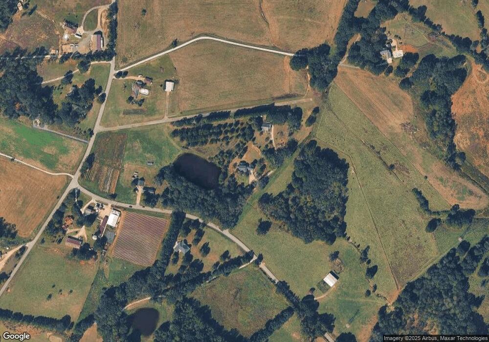
Map
- 116 Allgood Rd
- 615 Wilson Rd
- 6220 Liberty Hwy
- 5230 Olden Porter Rd
- 6620 Liberty Hwy
- 384 Jim Smith Rd Unit Tract 1
- 5381 Olden Porter Rd
- 602 Harper Rd
- 2210 Refuge Rd
- 1412 Simpson Rd
- 2212 Refuge Rd
- 2923 Old Greenville Hwy
- 202 Rogers Rd
- 145 Old Sanders Rd
- 204 Rogers Rd
- 208 Rogers Rd
- 119 Mcalister Dr
- 616 Anderson Rd
- 1 Old American Blvd
- 715 Melton Rd Unit Liberty Anderson Cou
- 264 McMurtrey Rd
- 247 McMurtrey Rd
- 242 McMurtrey Rd
- 508 Link Rd
- 432 Link Rd
- 505 Link Rd
- 512 Link Rd
- 430 Link Rd
- 517 Link Rd
- 501 Link Rd
- 526 Link Rd
- 237 A McMurtrey Rd
- 237 McMurtrey Rd
- 511 Link Rd
- 1500 Bishops Branch Rd
- 1410 Bishops Branch Rd
- 491 Link Rd
- 227 McMurtrey Rd
- 1516 Bishop Branch Rd
- 315 Link Rd
Ask me questions while you tour the home.