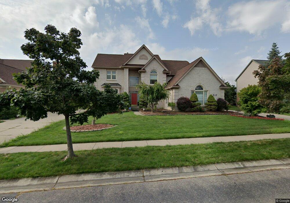
254 Pinehurst Dr Canton, MI 48188
Estimated Value: $577,597 - $700,000
Studio
3
Baths
3,527
Sq Ft
$179/Sq Ft
Est. Value
About This Home
This home is located at 254 Pinehurst Dr, Canton, MI 48188 and is currently estimated at $631,149, approximately $178 per square foot. 254 Pinehurst Dr is a home located in Wayne County with nearby schools including Canton High School, Plymouth High School, and Salem High School.
Ownership History
Date
Name
Owned For
Owner Type
Purchase Details
Closed on
Jul 30, 2003
Sold by
Munde Nirpal S and Munde Rupinder K
Bought by
Munday Nirpal S
Current Estimated Value
Purchase Details
Closed on
Apr 3, 2003
Sold by
Munday Nirpal S and Munday Rupinder K
Bought by
Munday Nirpal S
Home Financials for this Owner
Home Financials are based on the most recent Mortgage that was taken out on this home.
Original Mortgage
$170,000
Interest Rate
5.76%
Mortgage Type
Purchase Money Mortgage
Create a Home Valuation Report for This Property
The Home Valuation Report is an in-depth analysis detailing your home's value as well as a comparison with similar homes in the area
Home Values in the Area
Average Home Value in this Area
Purchase History
| Date | Buyer | Sale Price | Title Company |
|---|---|---|---|
| Munday Nirpal S | -- | Multiple | |
| Munday Nirpal S | -- | -- |
Source: Public Records
Mortgage History
| Date | Status | Borrower | Loan Amount |
|---|---|---|---|
| Previous Owner | Munday Nirpal S | $170,000 |
Source: Public Records
Tax History
| Year | Tax Paid | Tax Assessment Tax Assessment Total Assessment is a certain percentage of the fair market value that is determined by local assessors to be the total taxable value of land and additions on the property. | Land | Improvement |
|---|---|---|---|---|
| 2025 | $3,835 | $294,200 | $0 | $0 |
| 2024 | $3,726 | $277,800 | $0 | $0 |
| 2023 | $3,552 | $239,800 | $0 | $0 |
| 2022 | $7,671 | $231,700 | $0 | $0 |
| 2021 | $7,441 | $226,200 | $0 | $0 |
| 2020 | $7,350 | $222,400 | $0 | $0 |
| 2019 | $7,213 | $208,860 | $0 | $0 |
| 2018 | $3,019 | $197,300 | $0 | $0 |
| 2017 | $7,253 | $195,500 | $0 | $0 |
| 2016 | $6,551 | $196,700 | $0 | $0 |
| 2015 | $16,589 | $182,290 | $0 | $0 |
| 2013 | $16,071 | $177,730 | $0 | $0 |
| 2010 | -- | $155,300 | $63,750 | $91,550 |
Source: Public Records
Map
Nearby Homes
- 45246 Gerald Ct
- 215 Edington Cir
- 45863 Baywood Blvd
- 298 Edington Cir Unit 32
- 290 Edington Cir Unit 62
- 241 Edington Cir
- 407 Fairfield Ct
- 859 Wellington Ct
- 45169 Middlebury Ln
- 1055 Ashton Woods Dr Unit 1
- 46625 Saltz Rd
- 45678 Aragon Ln
- 1285 W Crystal Cir Unit 214
- 1215 Orchid Cir
- 1289 Old Colony Ln Unit 232
- 1276 W Crystal Cir Unit 202
- 45005 Saltz Rd
- 45874 S Stonewood Rd Unit 221
- 45645 Graystone Ln Unit 100
- 51083 Meadowlands
- 947 Princeton Dr
- 228 Pinehurst Dr
- 280 Pinehurst Dr
- 483 Highlands Dr
- 515 Highlands Dr
- 451 Highlands Dr
- 306 Pinehurst Dr
- 233 Pinehurst Dr
- 207 Pinehurst Dr
- 259 Pinehurst Dr
- 547 Highlands Dr Unit Bldg-Unit
- 547 Highlands Dr
- 285 Pinehurst Dr
- 129 Pinehurst Dr
- 181 Pinehurst Dr
- 332 Pinehurst Dr
- 387 Highlands Dr
- 155 Pinehurst Dr
- 45891 Fountain View Dr
- 502 Highlands Dr
Your Personal Tour Guide
Ask me questions while you tour the home.