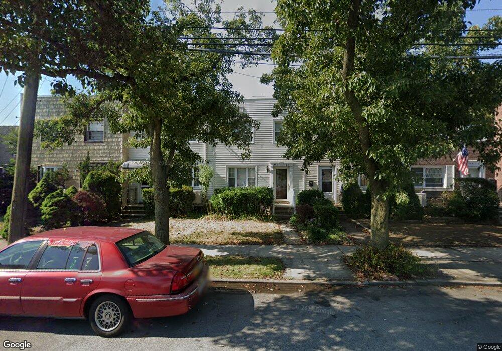
25406 87th Dr Bellerose, NY 11426
Bellerose NeighborhoodEstimated Value: $653,910 - $788,000
Studio
--
Bath
1,224
Sq Ft
$600/Sq Ft
Est. Value
About This Home
This home is located at 25406 87th Dr, Bellerose, NY 11426 and is currently estimated at $734,478, approximately $600 per square foot. 25406 87th Dr is a home located in Queens County with nearby schools including P.S.133Q, Irwin Altman Middle School 172, and Martin Van Buren High School.
Ownership History
Date
Name
Owned For
Owner Type
Purchase Details
Closed on
Jun 23, 1999
Sold by
Friend William R and Friend Janet T
Bought by
Mccarthy Kevin and Mccarthy Mary
Current Estimated Value
Home Financials for this Owner
Home Financials are based on the most recent Mortgage that was taken out on this home.
Original Mortgage
$150,400
Interest Rate
7.54%
Create a Home Valuation Report for This Property
The Home Valuation Report is an in-depth analysis detailing your home's value as well as a comparison with similar homes in the area
Home Values in the Area
Average Home Value in this Area
Purchase History
We collect this data history from publicly available records. To have your information removed, we recommend requesting removal directly through your county’s website.
| Date | Buyer | Sale Price | Title Company |
|---|---|---|---|
| Mccarthy Kevin | $188,000 | Lawyers Title Insurance Corp |
Source: Public Records
Mortgage History
We collect this data history from publicly available records. To have your information removed, we recommend requesting removal directly through your county’s website.
| Date | Status | Borrower | Loan Amount |
|---|---|---|---|
| Closed | Mccarthy Kevin | $150,400 |
Source: Public Records
Tax History
| Year | Tax Paid | Tax Assessment Tax Assessment Total Assessment is a certain percentage of the fair market value that is determined by local assessors to be the total taxable value of land and additions on the property. | Land | Improvement |
|---|---|---|---|---|
| 2026 | $6,523 | $34,634 | $10,862 | $23,772 |
| 2025 | $6,142 | $33,899 | $11,879 | $22,020 |
| 2024 | $6,154 | $31,980 | $12,839 | $19,141 |
| 2023 | $5,836 | $30,456 | $10,331 | $20,125 |
| 2022 | $5,475 | $31,260 | $12,720 | $18,540 |
| 2021 | $5,778 | $33,120 | $12,720 | $20,400 |
| 2020 | $5,737 | $28,500 | $12,720 | $15,780 |
| 2019 | $5,334 | $31,020 | $12,720 | $18,300 |
| 2018 | $4,876 | $25,380 | $10,550 | $14,830 |
| 2017 | $4,603 | $24,052 | $10,557 | $13,495 |
| 2016 | $4,498 | $24,052 | $10,557 | $13,495 |
| 2015 | $2,517 | $23,761 | $12,633 | $11,128 |
| 2014 | $2,517 | $22,417 | $13,370 | $9,047 |
Source: Public Records
Map
Nearby Homes
- 8783 254th St
- 250-23 88th Rd
- 6 Brokaw Ave
- 22 Brokaw Ave
- 25719 87th Rd
- 55 Tulip Ave Unit B5-5
- 78 Ontario Rd
- 68 Hudson Rd
- 87-15 258th St
- 91 Tulip Ave Unit G C2
- 91 Tulip Ave Unit Hb-1
- 248-55 88th Rd
- 8726 249th St
- 8622 251st St
- 35 van Siclen Ave
- 8548 Little Neck Pkwy
- 248-24 88th Dr
- 248-21 87th Ave
- 35 Floral Blvd Unit 1A
- 182 Lowell Ave
- 25404 87th Dr
- 25408 87th Dr
- 254-02 87th Dr
- 25402 87th Dr
- 254-10 87th Dr
- 25410 87th Dr
- 25348 87th Dr
- 25344 87th Dr
- 254-4 87th Rd
- 25342 87th Dr
- 8804 Little Neck Pkwy
- 8812 Little Neck Pkwy
- 8806 Little Neck Pkwy
- 8808 Little Neck Pkwy
- 88-08 Little Neck Pkwy
- 25340 87th Dr
- 88-10 Little Neck Pwy
- 88-10 Little Neck Pkwy
- 8789 254th St
- 8818 Little Neck Pkwy
Your Personal Tour Guide
Ask me questions while you tour the home.