255 Dove Rd Locust Grove, OK 74352
Estimated Value: $236,060 - $261,000
3
Beds
2
Baths
1,606
Sq Ft
$153/Sq Ft
Est. Value
About This Home
This home is located at 255 Dove Rd, Locust Grove, OK 74352 and is currently estimated at $245,265, approximately $152 per square foot. 255 Dove Rd is a home located in Mayes County with nearby schools including Locust Grove Early Lrning Center, Locust Grove Upper Elementary School, and Locust Grove Middle School.
Ownership History
Date
Name
Owned For
Owner Type
Purchase Details
Closed on
Oct 9, 2005
Sold by
Oliver Ann C and Anderson Ann
Bought by
Anderson Ann and Anderson Larry
Current Estimated Value
Home Financials for this Owner
Home Financials are based on the most recent Mortgage that was taken out on this home.
Original Mortgage
$123,675
Outstanding Balance
$74,758
Interest Rate
7.99%
Mortgage Type
Adjustable Rate Mortgage/ARM
Estimated Equity
$170,507
Purchase Details
Closed on
Nov 16, 2001
Sold by
White James and White Norma
Bought by
Oliver Ann C
Create a Home Valuation Report for This Property
The Home Valuation Report is an in-depth analysis detailing your home's value as well as a comparison with similar homes in the area
Purchase History
| Date | Buyer | Sale Price | Title Company |
|---|---|---|---|
| Anderson Ann | -- | Nations Title | |
| Oliver Ann C | $104,600 | -- |
Source: Public Records
Mortgage History
| Date | Status | Borrower | Loan Amount |
|---|---|---|---|
| Open | Anderson Ann | $123,675 |
Source: Public Records
Tax History
| Year | Tax Paid | Tax Assessment Tax Assessment Total Assessment is a certain percentage of the fair market value that is determined by local assessors to be the total taxable value of land and additions on the property. | Land | Improvement |
|---|---|---|---|---|
| 2025 | $1,398 | $16,061 | $2,937 | $13,124 |
| 2023 | $1,357 | $15,140 | $2,830 | $12,310 |
| 2022 | $1,236 | $14,699 | $2,800 | $11,899 |
| 2021 | $1,223 | $14,271 | $2,800 | $11,471 |
| 2020 | $1,202 | $13,855 | $2,800 | $11,055 |
| 2019 | $1,182 | $13,622 | $2,072 | $11,550 |
| 2018 | $1,205 | $13,622 | $2,072 | $11,550 |
| 2017 | $1,206 | $13,622 | $2,072 | $11,550 |
| 2016 | $1,178 | $13,622 | $2,072 | $11,550 |
| 2015 | $1,216 | $13,622 | $2,072 | $11,550 |
| 2014 | $1,215 | $13,622 | $2,072 | $11,550 |
Source: Public Records
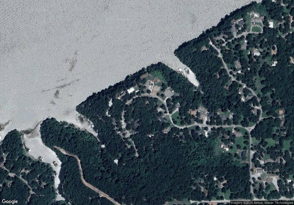
Map
Nearby Homes
- 922 Covey Ln
- 244 Covey Ln
- 5540 S 440
- 6777 S 4415 Rd
- 6884 W 440
- 0 S 4403 Rd Unit 2550426
- 91 Plum Tree Rd
- 5368 E 524 Rd
- TBD S 4403 Rd
- 306 N Water St
- 108 Maple
- 6594 E 563 Rd
- 6959 E 561 Rd
- 8604 S County Road 4468
- 6562 E 563 Rd
- 0 Hwy 82 S Unit 2549526
- 0 Peach St
- 604 Radcliff Ave
- 715 S Cherokee St
- 608 S Cherokee St
- 225 Dove Rd
- 258 Dove Rd
- 301 Dove Rd
- 0 Dove Rd Unit 224951
- 0 Dove Rd Unit 710982
- 0 Dove Rd Unit 310759
- 0 Dove Rd Unit 710174
- 0 Dove Rd Unit 904226
- 0 Dove Rd Unit 1303137
- 0 Dove Rd Unit 1942430
- 0 Dove Rd Unit 2023723
- 298 Dove Rd
- 240 Dove Rd
- 181 Dove Rd
- 220 Dove Rd
- 355 Dove Rd
- 173 Dove Rd
- 282 Dove Rd
- 188 Dove Rd
- 100 W Markham
Your Personal Tour Guide
Ask me questions while you tour the home.