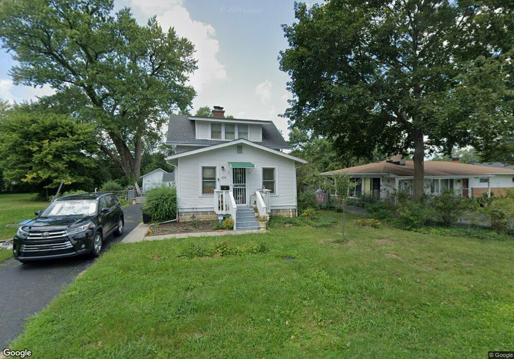
255 Maple Dr Columbus, OH 43228
Estimated Value: $176,000 - $193,000
About This Home
This home is located at 255 Maple Dr, Columbus, OH 43228 and is currently estimated at $186,706, approximately $166 per square foot. 255 Maple Dr is a home located in Franklin County with nearby schools including Prairie Lincoln Elementary School, Galloway Ridge Intermediate School, and Norton Middle School.
Ownership History
We collect this data history from publicly available records. To have your information removed, we recommend requesting removal directly through your county’s website.
Purchase Details
Purchase Details
Purchase Details
Home Values in the Area
Average Home Value in this Area
Purchase History
We collect this data history from publicly available records. To have your information removed, we recommend requesting removal directly through your county’s website.
| Date | Buyer | Sale Price | Title Company |
|---|---|---|---|
| -- | None Listed On Document | ||
| -- | -- | ||
| -- | -- |
Tax History
We collect this data history from publicly available records. To have your information removed, we recommend requesting removal directly through your county’s website.
| Year | Tax Paid | Tax Assessment Tax Assessment Total Assessment is a certain percentage of the fair market value that is determined by local assessors to be the total taxable value of land and additions on the property. | Land | Improvement |
|---|---|---|---|---|
| 2025 | $2,643 | $56,910 | $14,630 | $42,280 |
| 2024 | $2,643 | $56,910 | $14,630 | $42,280 |
| 2023 | $2,680 | $56,910 | $14,630 | $42,280 |
| 2022 | $1,597 | $25,100 | $3,750 | $21,350 |
| 2021 | $1,622 | $25,100 | $3,750 | $21,350 |
| 2020 | $1,025 | $25,100 | $3,750 | $21,350 |
| 2019 | $877 | $20,940 | $3,120 | $17,820 |
| 2018 | $1,193 | $20,940 | $3,120 | $17,820 |
| 2017 | $836 | $20,940 | $3,120 | $17,820 |
| 2016 | $1,520 | $19,920 | $4,200 | $15,720 |
| 2015 | $1,520 | $19,920 | $4,200 | $15,720 |
| 2014 | $1,498 | $19,920 | $4,200 | $15,720 |
| 2013 | $894 | $23,415 | $4,935 | $18,480 |
Map
- 237 Maple Dr
- 272-274 Hilliard Rome Rd
- 387 Maple Dr
- 396 Pasadena Ave
- 87 Maple Dr
- 150 Lennox Ave
- 4978 Taunton Way
- 69 Lawrence Ave
- 380 Topsfield Rd
- 4934 Hamden Way
- 435 N Murray Hill Rd
- 368 Mogul Dr
- 305 Danhurst Rd
- 407 Mogul Dr
- 126 Oxley Rd
- 97 Tarryton Ct W Unit 19-H
- 148 Tarryton Ct W Unit 25B
- 5579 Coral Ct
- 123 Beacon Run W Unit 21-F
- 405 Ruffin Dr
Ask me questions while you tour the home.