255 Ocean Ave Kennebunkport, ME 04046
Kennebunkport AreaEstimated Value: $1,916,000 - $9,106,364
About This Home
This home is located at 255 Ocean Ave, Kennebunkport, ME 04046 and is currently estimated at $6,273,455, approximately $2,054 per square foot. 255 Ocean Ave is a home located in York County with nearby schools including Kennebunk High School.
Ownership History
We collect this data history from publicly available records. To have your information removed, we recommend requesting removal directly through your county’s website.
Purchase Details
Purchase Details
Purchase Details
Home Values in the Area
Average Home Value in this Area
Purchase History
We collect this data history from publicly available records. To have your information removed, we recommend requesting removal directly through your county’s website.
| Date | Buyer | Sale Price | Title Company |
|---|---|---|---|
| -- | -- | ||
| -- | -- | ||
| -- | -- |
Tax History
We collect this data history from publicly available records. To have your information removed, we recommend requesting removal directly through your county’s website.
| Year | Tax Paid | Tax Assessment Tax Assessment Total Assessment is a certain percentage of the fair market value that is determined by local assessors to be the total taxable value of land and additions on the property. | Land | Improvement |
|---|---|---|---|---|
| 2025 | $40,946 | $5,951,500 | $4,566,000 | $1,385,500 |
| 2024 | $34,141 | $5,252,500 | $4,566,000 | $686,500 |
| 2023 | $28,538 | $4,566,000 | $4,566,000 | $0 |
| 2022 | $27,396 | $4,566,000 | $4,566,000 | $0 |
| 2021 | $17,290 | $1,801,000 | $1,801,000 | $0 |
| 2020 | $17,019 | $1,801,000 | $1,801,000 | $0 |
| 2019 | $17,019 | $1,801,000 | $1,801,000 | $0 |
| 2018 | $14,198 | $1,620,800 | $1,620,800 | $0 |
| 2017 | $14,101 | $1,620,800 | $1,620,800 | $0 |
| 2016 | $13,420 | $1,620,800 | $1,620,800 | $0 |
| 2015 | $14,866 | $1,930,600 | $1,620,800 | $309,800 |
| 2014 | $14,730 | $1,930,600 | $1,620,800 | $309,800 |
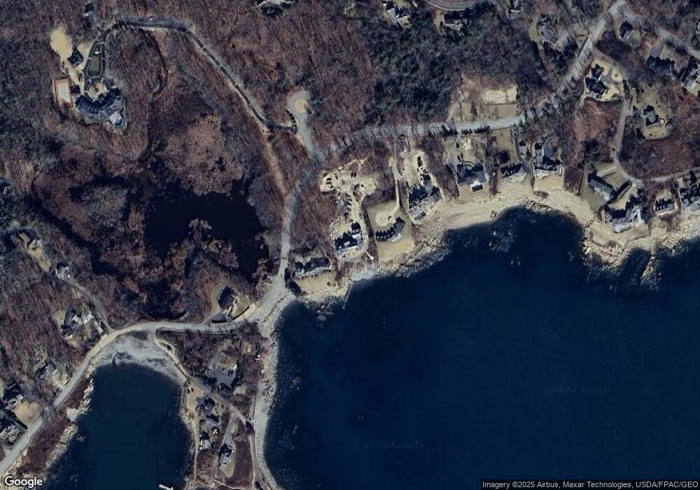
Map
- 17 Seaview Ave
- 23 Elizabethan Dr
- 5 Windemere Place
- 51 Woodland Dr
- 298 Ocean Ave
- Lot 2 Woodland Dr
- 44 Oakwood Dr
- 53 S Main St Unit 2
- 12 Touchstone Dr
- 12 S Maine St
- 65 Turbats Creek Rd
- 11 Wildes District Rd
- 5 Creekside Unit 5
- 11 Creekside Unit 6
- 13 Creekside Unit 7
- 35 Wildes District Rd
- 35 Wildes District Rd
- 8 Creekside Unit 9
- 18 Ebs Cove Ln
- 93 Wildes District Rd
- 267 Ocean Ave
- 253 Ocean Ave
- 261 Ocean Ave
- 271 Ocean Ave
- 7 Ocean Sound Dr
- 250 Ocean Ave
- Lot 1 Ocean Sound Dr
- 275 Ocean Ave
- 282 Ocean Ave
- 279 Ocean Ave
- 0 Ocean Ave Unit 873760
- 0 Ocean Ave Unit 706157
- 0 Ocean Ave Unit 266073
- 0 Ocean Ave Unit 260740
- 0 Ocean Ave Unit 258027
- 0 Ocean Ave Unit 3 235146
- 0 Ocean Ave
- Lot 3 Ocean Sound Dr
- 260 Ocean Avenue - Lot#2
- 260 Ocean Avenue Lot#1
Ask me questions while you tour the home.