2555 Scio Rd Dexter, MI 48130
Estimated Value: $742,315 - $954,000
Studio
1
Bath
3,272
Sq Ft
$247/Sq Ft
Est. Value
About This Home
This home is located at 2555 Scio Rd, Dexter, MI 48130 and is currently estimated at $807,079, approximately $246 per square foot. 2555 Scio Rd is a home located in Washtenaw County with nearby schools including Anchor Elementary School, Creekside Intermediate School, and Bates Elementary School.
Ownership History
Date
Name
Owned For
Owner Type
Purchase Details
Closed on
Jan 14, 2022
Sold by
Delong Richard Ames and Delong Patricia Maurese
Bought by
Becker Patrick and Becker Denise
Current Estimated Value
Home Financials for this Owner
Home Financials are based on the most recent Mortgage that was taken out on this home.
Original Mortgage
$325,000
Outstanding Balance
$299,528
Interest Rate
3.11%
Mortgage Type
New Conventional
Estimated Equity
$507,551
Purchase Details
Closed on
Feb 6, 2008
Sold by
Delong Richard A and Delong Patricia M
Bought by
Delong Richard A and Delong Patricia M
Purchase Details
Closed on
Sep 1, 2006
Sold by
Vlasic Properties Llc
Bought by
Delong Richard A and Patricia Delong M
Purchase Details
Closed on
Jan 24, 2003
Sold by
Delong Richard A and Delong Patricia M
Bought by
Delong Richard A and Delong Patricia M
Create a Home Valuation Report for This Property
The Home Valuation Report is an in-depth analysis detailing your home's value as well as a comparison with similar homes in the area
Home Values in the Area
Average Home Value in this Area
Purchase History
| Date | Buyer | Sale Price | Title Company |
|---|---|---|---|
| Becker Patrick | $650,000 | None Listed On Document | |
| Delong Richard A | -- | None Available | |
| Delong Richard A | -- | None Available | |
| Delong Richard A | -- | -- |
Source: Public Records
Mortgage History
| Date | Status | Borrower | Loan Amount |
|---|---|---|---|
| Open | Becker Patrick | $325,000 |
Source: Public Records
Tax History
| Year | Tax Paid | Tax Assessment Tax Assessment Total Assessment is a certain percentage of the fair market value that is determined by local assessors to be the total taxable value of land and additions on the property. | Land | Improvement |
|---|---|---|---|---|
| 2025 | $4,882 | $353,400 | $0 | $0 |
| 2024 | $3,592 | $343,600 | $0 | $0 |
| 2023 | $3,827 | $366,100 | $0 | $0 |
| 2022 | $7,813 | $344,500 | $0 | $0 |
| 2021 | $7,468 | $342,800 | $0 | $0 |
| 2020 | $7,486 | $339,100 | $0 | $0 |
| 2019 | $7,160 | $291,900 | $291,900 | $0 |
| 2018 | $6,930 | $310,800 | $0 | $0 |
| 2017 | $6,627 | $311,500 | $0 | $0 |
| 2016 | $2,020 | $190,093 | $0 | $0 |
| 2015 | -- | $189,525 | $0 | $0 |
| 2014 | -- | $183,604 | $0 | $0 |
| 2013 | -- | $183,604 | $0 | $0 |
Source: Public Records
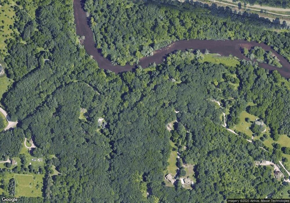
Map
Nearby Homes
- 6854 Morrison Hills Ct
- 6839 Dexter Ann Arbor Rd
- 3847 Lake Vista Dr
- 3721 Bristol Dr Unit 152
- 237 Victoria Dr
- 315 Cambridge Dr
- 0 W Joy Rd
- 944 Marshall Ct
- 1075 Harold Cir
- 2865 Walters Way Unit 1
- 4300 Mast Rd
- 3576 Central St
- 7525 Huron River Dr
- 2925 Baker Rd
- 7901 Grand St
- 611 Woodland Dr
- 7921 Grand St
- 7925 Grand St
- 7933 Grand St Unit 44
- 630 Boardwalk Ln
- 2559 Scio Rd
- 2563 Scio Rd
- 2485 Morrison Dr
- 2485 Morrison Dr
- 2579 Scio Rd
- 2500 Morrison Dr
- 6810 Morrison Hills Ct
- 2551 Scio Rd
- 2549 Scio Rd
- 2435 Scio Rd
- 2323 Morrison Dr
- 6825 Morrison Hls Ct
- 2591 Scio Rd
- 2288 Morrison Dr
- 2413 Scio Rd
- 2300 Morrison Dr
- 2451 Scio Rd
- 6837 Morrison Hills Ct
- 2229 Loch Highland
- 2399 Scio Rd
Your Personal Tour Guide
Ask me questions while you tour the home.