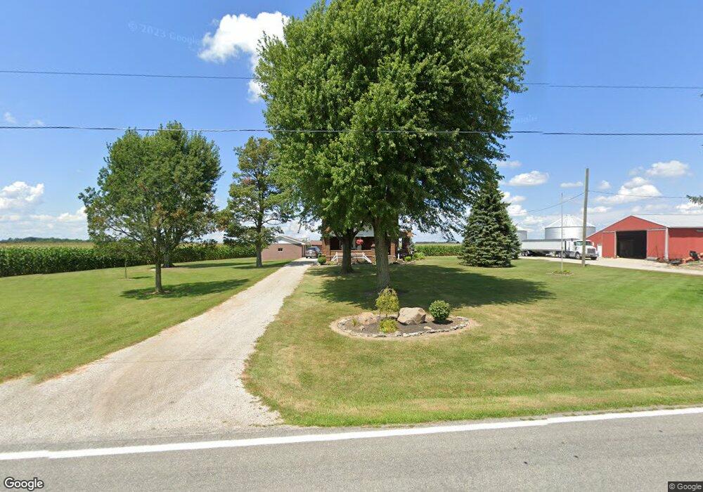
2558 Radnor Rd Radnor, OH 43066
Estimated Value: $420,000 - $556,000
4
Beds
2
Baths
2,180
Sq Ft
$214/Sq Ft
Est. Value
About This Home
This home is located at 2558 Radnor Rd, Radnor, OH 43066 and is currently estimated at $466,072, approximately $213 per square foot. 2558 Radnor Rd is a home located in Delaware County with nearby schools including Buckeye Valley High School.
Ownership History
Date
Name
Owned For
Owner Type
Purchase Details
Closed on
Dec 7, 2010
Sold by
James David A and James Vivian L
Bought by
Bush Deborah K
Current Estimated Value
Purchase Details
Closed on
Mar 19, 2008
Sold by
James Robert L and James Carolyn S
Bought by
James David A
Purchase Details
Closed on
Apr 18, 2005
Sold by
James Mark A and James Ladonna D
Bought by
James David A and James Vivian L
Create a Home Valuation Report for This Property
The Home Valuation Report is an in-depth analysis detailing your home's value as well as a comparison with similar homes in the area
Home Values in the Area
Average Home Value in this Area
Purchase History
| Date | Buyer | Sale Price | Title Company |
|---|---|---|---|
| Bush Deborah K | -- | Attorney | |
| James David A | -- | Attorney | |
| James David A | -- | Delaware Title |
Source: Public Records
Tax History
| Year | Tax Paid | Tax Assessment Tax Assessment Total Assessment is a certain percentage of the fair market value that is determined by local assessors to be the total taxable value of land and additions on the property. | Land | Improvement |
|---|---|---|---|---|
| 2024 | $3,011 | $99,330 | $22,330 | $77,000 |
| 2023 | $3,033 | $99,330 | $22,330 | $77,000 |
| 2022 | $2,615 | $81,480 | $20,650 | $60,830 |
| 2021 | $2,617 | $81,480 | $20,650 | $60,830 |
| 2020 | $2,622 | $81,480 | $20,650 | $60,830 |
| 2019 | $2,241 | $68,640 | $17,960 | $50,680 |
| 2018 | $2,268 | $68,640 | $17,960 | $50,680 |
| 2017 | $2,064 | $64,300 | $15,650 | $48,650 |
| 2016 | $1,983 | $64,300 | $15,650 | $48,650 |
| 2015 | $2,087 | $64,300 | $15,650 | $48,650 |
| 2014 | $2,094 | $67,870 | $15,650 | $52,220 |
| 2013 | $1,976 | $64,650 | $15,650 | $49,000 |
Source: Public Records
Map
Nearby Homes
- 3935 N Section Line Rd
- 4277 Radnor Rd
- 4005 Ohio 203
- 6412 Troy Rd
- 6620 Troy Rd
- 3116 Troy Rd
- 0 Norton Rd
- 0 Norton Rd Unit 226007710
- 5734 U S Highway 23 N
- 5718 U S Highway 23 N
- 1258 Hills-Miller Rd
- 1817 Lawrence Rd
- 240 Glemsbury Dr
- 0 Panhandle Rd Unit 225040827
- 0 Panhandle Rd Unit 26283134
- 6370 Curren Rd
- 2131 Farmland Dr
- 81 Coldstone Ct
- 58 Aldersgate Dr
- 72 Allenhurst Way
- 2673 Radnor Rd
- 4904 N Section Line Rd
- 2220 Radnor Rd
- Lot 3 N Section Line Rd
- Lot 2 N Section Line Rd
- 0 N Section Line Rd
- 4878 N Section Line Rd
- 5322 N Section Line Rd
- 4850 N Section Line Rd
- 2205 Radnor Rd
- 4820 N Section Line Rd
- 2130 Radnor Rd
- 5460 N Section Line Rd
- 4760 N Section Line Rd
- 2957 Radnor Rd
- 4780 N Section Line Rd
- 4718 N Section Line Rd
- 5538 N Section Line Rd
- 2075 Radnor Rd
- 4722 N Section Line Rd
Your Personal Tour Guide
Ask me questions while you tour the home.