2558 Vance Rd Sardinia, OH 45171
Estimated Value: $306,000 - $398,557
3
Beds
3
Baths
2,110
Sq Ft
$163/Sq Ft
Est. Value
About This Home
This home is located at 2558 Vance Rd, Sardinia, OH 45171 and is currently estimated at $344,186, approximately $163 per square foot. 2558 Vance Rd is a home located in Highland County with nearby schools including Lynchburg-Clay Elementary School, Lynchburg-Clay Middle School, and Lynchburg-Clay High School.
Ownership History
Date
Name
Owned For
Owner Type
Purchase Details
Closed on
Jun 2, 2004
Sold by
Partin William D and Partin Darlene A
Bought by
Ehrhardt Charles A and Ehrhardt Connie R
Current Estimated Value
Purchase Details
Closed on
May 4, 1994
Sold by
Young William
Bought by
Partin Debbie
Purchase Details
Closed on
Mar 22, 1994
Sold by
Bartels Grace
Bought by
Young William
Purchase Details
Closed on
Jan 1, 1990
Bought by
Bartels Grace
Create a Home Valuation Report for This Property
The Home Valuation Report is an in-depth analysis detailing your home's value as well as a comparison with similar homes in the area
Purchase History
We collect this data history from publicly available records. To have your information removed, we recommend requesting removal directly through your county’s website.
| Date | Buyer | Sale Price | Title Company |
|---|---|---|---|
| Ehrhardt Charles A | -- | -- | |
| Partin Debbie | $24,000 | -- | |
| Young William | $24,000 | -- | |
| Bartels Grace | -- | -- |
Source: Public Records
Tax History
| Year | Tax Paid | Tax Assessment Tax Assessment Total Assessment is a certain percentage of the fair market value that is determined by local assessors to be the total taxable value of land and additions on the property. | Land | Improvement |
|---|---|---|---|---|
| 2025 | $4,543 | $112,875 | $26,775 | $86,100 |
| 2024 | $3,308 | $112,880 | $26,780 | $86,100 |
| 2023 | $3,279 | $87,890 | $23,840 | $64,050 |
| 2022 | $2,747 | $87,890 | $23,840 | $64,050 |
| 2021 | $2,747 | $87,890 | $23,840 | $64,050 |
| 2020 | $2,272 | $70,320 | $19,080 | $51,240 |
| 2019 | $2,292 | $70,320 | $19,080 | $51,240 |
| 2018 | $2,303 | $70,320 | $19,080 | $51,240 |
| 2017 | $1,889 | $61,180 | $18,480 | $42,700 |
| 2016 | $1,905 | $61,180 | $18,480 | $42,700 |
| 2015 | $1,928 | $61,180 | $18,480 | $42,700 |
| 2014 | $1,993 | $61,180 | $18,480 | $42,700 |
| 2013 | $1,998 | $61,180 | $18,480 | $42,700 |
Source: Public Records
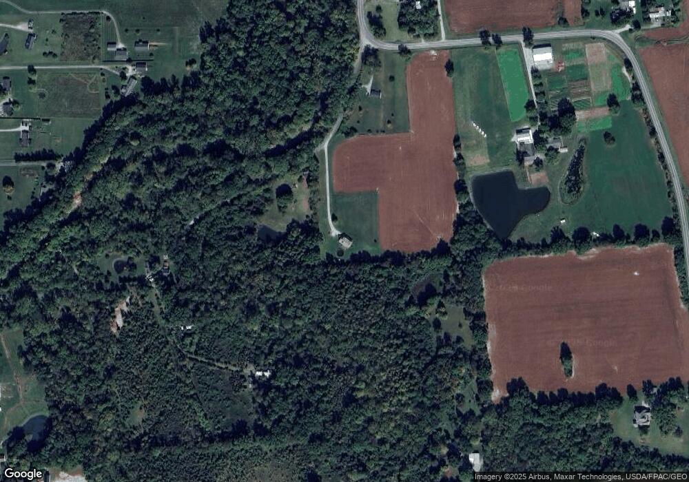
Map
Nearby Homes
- 896 Ohio 321
- 2567 State Route 134
- 5226 Lindsey Rd
- 5176 County Highway 8-C
- 0 Duncanson Rd Unit 24557375
- 0 Duncanson Rd Unit 24555971
- 15471 Webber Rd
- 3517 Bardwell Buford Rd
- 2 Duncanson Rd
- 5685 Tri County Hwy
- 118 Ella Rose Dr
- 1927 Maple Grove B
- 0 7-Acres Dean Dr Unit 1870915
- 206 Bingaman Ln
- 203 Bingaman Ln
- 210 Robin Ave
- 113 Graham St
- 17046 US Route 68
- 102 Lonny St
- 126 Lonny St
- 2546 Vance Rd
- 2299 St Rt 134
- 2461 Vance Rd
- 2205 State Route 134
- 2300 St Rt 134
- 1988 Starr Rd
- 2300 State Route 134
- 2134 Sicily Rd
- 2041 Starr Rd
- 2172 Sicily Rd
- 2420 Vance Rd
- 2420 Vance Rd
- 2090 Sicily Rd
- 1986 Starr Rd
- 1986 Starr Rd
- 1994 Starr Rd
- 2118 Sicily Rd
- 1995 State Route 134
- 2160 State Route 134
- 2308 State Route 134
Your Personal Tour Guide
Ask me questions while you tour the home.