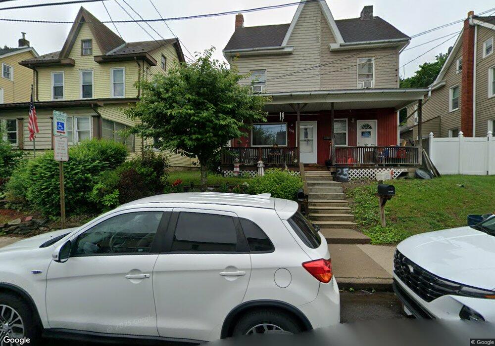
256 1/2 S Walnut St Slatington, PA 18080
Estimated Value: $171,000 - $211,000
4
Beds
2
Baths
1,400
Sq Ft
$135/Sq Ft
Est. Value
About This Home
This home is located at 256 1/2 S Walnut St, Slatington, PA 18080 and is currently estimated at $188,562, approximately $134 per square foot. 256 1/2 S Walnut St is a home with nearby schools including Slatington Elementary School, Peters Elementary School, and Northern Lehigh Middle School.
Ownership History
Date
Name
Owned For
Owner Type
Purchase Details
Closed on
May 10, 2006
Sold by
Sharer Florence S
Bought by
Smith Sandra
Current Estimated Value
Home Financials for this Owner
Home Financials are based on the most recent Mortgage that was taken out on this home.
Original Mortgage
$109,350
Outstanding Balance
$61,298
Interest Rate
6.42%
Mortgage Type
Fannie Mae Freddie Mac
Estimated Equity
$127,264
Purchase Details
Closed on
Oct 6, 2004
Sold by
Troxell John C and Troxell Shirley A
Bought by
Sharer Florence S
Purchase Details
Closed on
Aug 28, 1978
Bought by
Troxell John C and Troxell Shirley A
Create a Home Valuation Report for This Property
The Home Valuation Report is an in-depth analysis detailing your home's value as well as a comparison with similar homes in the area
Home Values in the Area
Average Home Value in this Area
Purchase History
| Date | Buyer | Sale Price | Title Company |
|---|---|---|---|
| Smith Sandra | $121,500 | None Available | |
| Sharer Florence S | $30,000 | -- | |
| Troxell John C | $21,500 | -- |
Source: Public Records
Mortgage History
| Date | Status | Borrower | Loan Amount |
|---|---|---|---|
| Open | Smith Sandra | $109,350 |
Source: Public Records
Tax History
| Year | Tax Paid | Tax Assessment Tax Assessment Total Assessment is a certain percentage of the fair market value that is determined by local assessors to be the total taxable value of land and additions on the property. | Land | Improvement |
|---|---|---|---|---|
| 2026 | $3,173 | $80,600 | $11,800 | $68,800 |
| 2025 | $3,043 | $80,600 | $11,800 | $68,800 |
| 2024 | $2,913 | $80,600 | $11,800 | $68,800 |
| 2023 | $2,744 | $80,600 | $11,800 | $68,800 |
| 2022 | $2,704 | $80,600 | $68,800 | $11,800 |
| 2021 | $2,621 | $80,600 | $11,800 | $68,800 |
| 2020 | $2,546 | $80,600 | $11,800 | $68,800 |
| 2019 | $2,491 | $80,600 | $11,800 | $68,800 |
| 2018 | $2,441 | $80,600 | $11,800 | $68,800 |
| 2017 | $2,431 | $80,600 | $11,800 | $68,800 |
| 2016 | -- | $80,600 | $11,800 | $68,800 |
| 2015 | -- | $80,600 | $11,800 | $68,800 |
| 2014 | -- | $80,600 | $11,800 | $68,800 |
Source: Public Records
Map
Nearby Homes
- 256 S Walnut St
- 260 S Walnut St Unit 262
- 250 S Walnut St
- 244 S Walnut St
- 268 S Walnut St
- 270 S Walnut St
- 242 S Walnut St
- 242 S Walnut St Unit 244
- 247 S Walnut St
- 243 S Walnut St
- 238 S Walnut St
- 236 S Walnut St
- 278 S Walnut St
- 235 S Walnut St
- 232 S Walnut St
- 231 S Walnut St
- 259 S Walnut St
- 311 Hill St
- 309 Hill St
- 227 S Walnut St
Your Personal Tour Guide
Ask me questions while you tour the home.