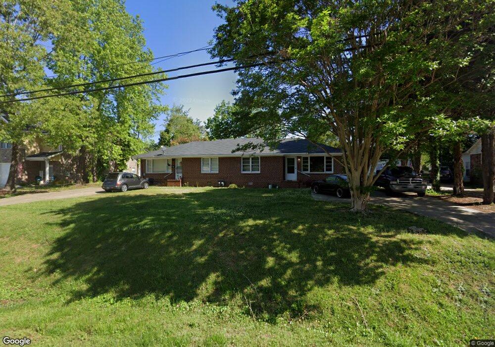
256 E Broad St Winder, GA 30680
Studio
--
Bath
3,100
Sq Ft
32,670
Sq Ft Lot
About This Home
This home is located at 256 E Broad St, Winder, GA 30680. 256 E Broad St is a home located in Barrow County with nearby schools including Holsenbeck Elementary School, Bear Creek Middle School, and Winder-Barrow High School.
Ownership History
Date
Name
Owned For
Owner Type
Purchase Details
Closed on
Nov 15, 2017
Sold by
Telmc Properties Llc
Bought by
Massmen Properties Llc
Purchase Details
Closed on
Aug 31, 2006
Sold by
Carswell Laura M And
Bought by
Telmc Properties Llc
Purchase Details
Closed on
Apr 26, 2000
Sold by
Bunn Barry And
Bought by
Carswell Laura M And
Purchase Details
Closed on
Feb 3, 1997
Sold by
Thompson Michael B A
Bought by
Thompson Michael B
Purchase Details
Closed on
Dec 21, 1995
Sold by
Thompson Michael B
Bought by
Thompson Michael B A
Create a Home Valuation Report for This Property
The Home Valuation Report is an in-depth analysis detailing your home's value as well as a comparison with similar homes in the area
Home Values in the Area
Average Home Value in this Area
Purchase History
| Date | Buyer | Sale Price | Title Company |
|---|---|---|---|
| Massmen Properties Llc | $406,000 | -- | |
| Telmc Properties Llc | -- | -- | |
| Carswell Laura M And | $235,000 | -- | |
| Thompson Michael B | $65,000 | -- | |
| Thompson Michael B A | -- | -- |
Source: Public Records
Tax History
| Year | Tax Paid | Tax Assessment Tax Assessment Total Assessment is a certain percentage of the fair market value that is determined by local assessors to be the total taxable value of land and additions on the property. | Land | Improvement |
|---|---|---|---|---|
| 2025 | $6,201 | $224,595 | $45,520 | $179,075 |
| 2024 | $6,311 | $224,595 | $45,520 | $179,075 |
| 2023 | $6,481 | $224,595 | $45,520 | $179,075 |
| 2022 | $7,544 | $225,531 | $45,520 | $180,011 |
| 2021 | $6,097 | $170,220 | $38,000 | $132,220 |
| 2020 | $5,738 | $170,220 | $38,000 | $132,220 |
| 2019 | $5,820 | $170,220 | $38,000 | $132,220 |
| 2018 | $5,511 | $161,281 | $38,000 | $123,281 |
| 2017 | $2,678 | $89,767 | $22,000 | $67,767 |
| 2016 | $2,626 | $77,955 | $22,000 | $55,955 |
| 2015 | $2,628 | $77,955 | $22,000 | $55,955 |
| 2014 | $2,270 | $66,735 | $10,780 | $55,955 |
| 2013 | -- | $64,304 | $10,780 | $53,524 |
Source: Public Records
Map
Nearby Homes
- 317 Georgia Ave
- 131 Pinehurst Dr
- 26 Hosch Cir
- 323 Lumpkin St
- 324 E Broad St
- 227 Martin Luther King jr Dr
- 255 Woodlawn Ave
- 154 Blake Ln
- 160 N Broad St
- 18 E New St
- 208 Shields St
- 178 Hamilton Ave
- 209 Georgia Ave
- 168 Park Ave
- 59 W Wright St
- 260 Westlyn Way
- 427 Shenandoah Ct
- 32 Saint Ives Cir Unit 2
- 122 Advent Dr
- 80 Shoal Ct
- 256 E Broad St
- 260 E Broad St
- 329 Georgia Ave
- 248 E Broad St
- 264 E Broad St
- 347 Pinkney St
- 261 Nancy St
- 261 E Broad St
- 272 E Broad St
- 321 Georgia Ave
- 255 Nancy St
- 322 Georgia Ave
- 273 E Broad St
- 269 Nancy St
- 34 E Williams St
- 340 Pinkney St
- 276 E Broad St
- 262 Nancy St
- 346 Pinkney St
- 346 Pinkney St Unit A
Your Personal Tour Guide
Ask me questions while you tour the home.