25689 Rowland Rd Locust, NC 28097
Estimated Value: $268,000 - $315,000
About This Home
This home is located at 25689 Rowland Rd, Locust, NC 28097 and is currently estimated at $296,767, approximately $219 per square foot. 25689 Rowland Rd is a home located in Stanly County with nearby schools including Locust Elementary School, West Stanly Middle School, and West Stanly High School.
Ownership History
We collect this data history from publicly available records. To have your information removed, we recommend requesting removal directly through your county’s website.
Purchase Details
Purchase Details
Home Financials for this Owner
Home Financials are based on the most recent Mortgage that was taken out on this home.Home Values in the Area
Average Home Value in this Area
Purchase History
We collect this data history from publicly available records. To have your information removed, we recommend requesting removal directly through your county’s website.
| Date | Buyer | Sale Price | Title Company |
|---|---|---|---|
| -- | None Available | ||
| $110,000 | None Available |
Mortgage History
We collect this data history from publicly available records. To have your information removed, we recommend requesting removal directly through your county’s website.
| Date | Status | Borrower | Loan Amount |
|---|---|---|---|
| Closed | $110,000 |
Tax History
We collect this data history from publicly available records. To have your information removed, we recommend requesting removal directly through your county’s website.
| Year | Tax Paid | Tax Assessment Tax Assessment Total Assessment is a certain percentage of the fair market value that is determined by local assessors to be the total taxable value of land and additions on the property. | Land | Improvement |
|---|---|---|---|---|
| 2025 | $1,385 | $209,806 | $49,410 | $160,396 |
| 2024 | $1,005 | $139,625 | $31,670 | $107,955 |
| 2023 | $1,102 | $139,625 | $31,670 | $107,955 |
| 2022 | $1,102 | $139,625 | $31,670 | $107,955 |
| 2021 | $1,100 | $139,625 | $31,670 | $107,955 |
| 2020 | $990 | $116,632 | $28,187 | $88,445 |
| 2019 | $995 | $116,632 | $28,187 | $88,445 |
| 2018 | $910 | $116,632 | $28,187 | $88,445 |
| 2017 | $910 | $116,632 | $28,187 | $88,445 |
| 2016 | $855 | $112,461 | $25,532 | $86,929 |
| 2015 | $934 | $112,461 | $25,532 | $86,929 |
| 2014 | $929 | $112,461 | $25,532 | $86,929 |
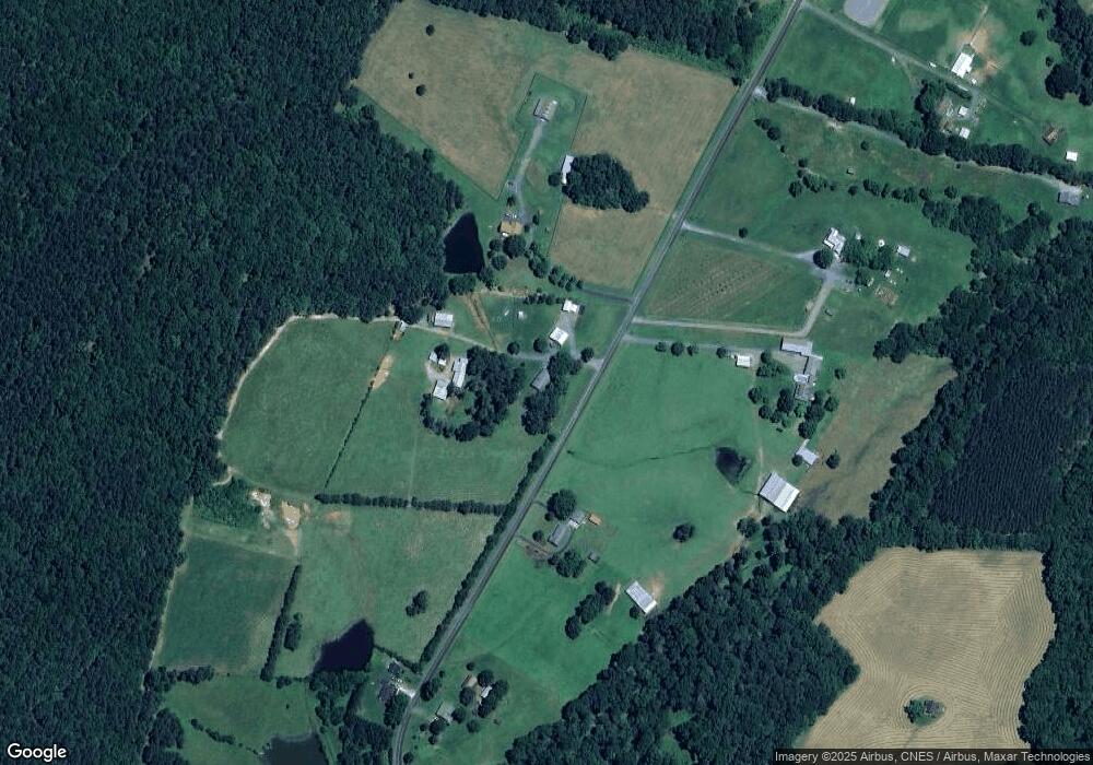
Map
- 00 Bridge Rd
- 24910 Birdhouse Ln Unit 1
- 16659 Five Point Rd
- 16351 Substation Rd
- 24442 Jd Dr
- 24327 Ridgecrest Rd
- VACANT LAND Pole Running Rd
- 000 Pole Running Rd
- 5001 Paige Rd
- 21966 Stony Rd
- Lot 3 Crepts Branch Rd Unit 3
- 00 Millingport Rd Unit 1
- 27074 Crepts Branch Rd
- 00 Ridgecrest Rd
- 4794 Cauble Rd
- 10882 Bowman-Barrier Rd
- 21083 Running Creek Dr
- 21079 Running Creek Dr
- 16182 Austin Rd
- 6720 County Line Rd
- 25717 Rowland Rd
- 25660 Rowland Rd
- 25708 Rowland Rd
- 25738 Rowland Rd
- 25610 Rowland Rd
- 25607 Rowland Rd
- Vac Rowland Rd
- 25798 Rowland Rd
- 25774 Rowland Rd
- 25833 Rowland Rd
- 28031 Rowland Rd
- 15623 Bee Tree Rd
- 13748 Five Point Rd
- 25488 Rowland Rd
- 26570 Red Barn Trail
- 13710 Five Point Rd
- 13694 Five Point Rd
- 26556 Red Barn Trail
- 26548 Red Barn Trail
- 15651 Bee Tree Rd
Ask me questions while you tour the home.