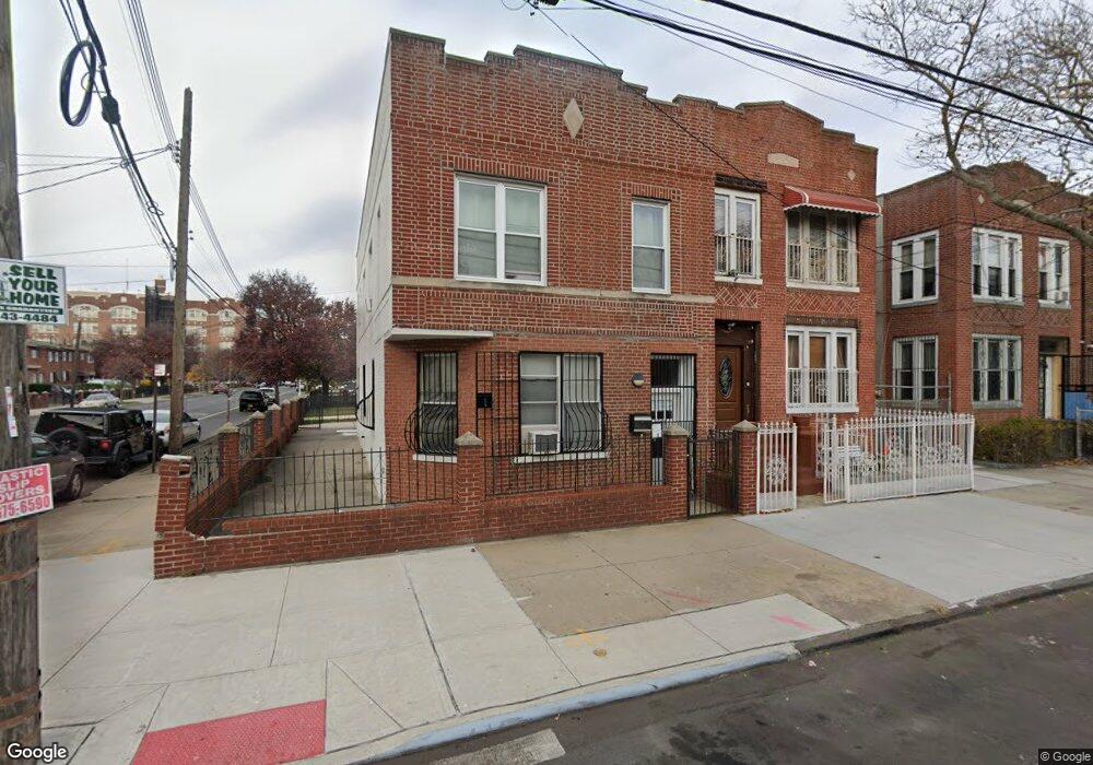
257 Lott Ave Brooklyn, NY 11212
Brownsville NeighborhoodEstimated Value: $683,259 - $949,000
Studio
--
Bath
2,296
Sq Ft
$345/Sq Ft
Est. Value
About This Home
This home is located at 257 Lott Ave, Brooklyn, NY 11212 and is currently estimated at $793,065, approximately $345 per square foot. 257 Lott Ave is a home located in Kings County with nearby schools including P.S. 165 Ida Posner, P.S. 150 - Christopher, and P.S. Is 155 Nicholas Herkimer.
Ownership History
Date
Name
Owned For
Owner Type
Purchase Details
Closed on
Feb 24, 1998
Sold by
Nhs Housing Development Fund Corp Of New
Bought by
Romero Erica J
Current Estimated Value
Home Financials for this Owner
Home Financials are based on the most recent Mortgage that was taken out on this home.
Original Mortgage
$120,000
Outstanding Balance
$21,875
Interest Rate
6.98%
Estimated Equity
$771,190
Create a Home Valuation Report for This Property
The Home Valuation Report is an in-depth analysis detailing your home's value as well as a comparison with similar homes in the area
Home Values in the Area
Average Home Value in this Area
Purchase History
| Date | Buyer | Sale Price | Title Company |
|---|---|---|---|
| Romero Erica J | $150,500 | -- |
Source: Public Records
Mortgage History
| Date | Status | Borrower | Loan Amount |
|---|---|---|---|
| Open | Romero Erica J | $120,000 |
Source: Public Records
Tax History
| Year | Tax Paid | Tax Assessment Tax Assessment Total Assessment is a certain percentage of the fair market value that is determined by local assessors to be the total taxable value of land and additions on the property. | Land | Improvement |
|---|---|---|---|---|
| 2025 | $3,997 | $51,300 | $4,260 | $47,040 |
| 2024 | $3,997 | $57,240 | $4,260 | $52,980 |
| 2023 | $1,794 | $70,200 | $4,260 | $65,940 |
| 2022 | $1,640 | $58,680 | $4,260 | $54,420 |
| 2021 | $1,735 | $46,920 | $4,260 | $42,660 |
| 2019 | $1,563 | $38,760 | $4,260 | $34,500 |
| 2018 | $1,441 | $17,054 | $2,158 | $14,896 |
| 2017 | $1,340 | $16,089 | $2,400 | $13,689 |
| 2016 | $1,159 | $16,089 | $2,155 | $13,934 |
| 2015 | $1,005 | $15,482 | $2,175 | $13,307 |
| 2014 | $1,005 | $14,791 | $2,493 | $12,298 |
Source: Public Records
Map
Nearby Homes
- 797 Mother Gaston Blvd
- 555 Christopher Ave
- 570 Christopher Ave
- 578 Christopher Ave
- 592 Powell St
- 587 Osborn St
- 699 Sackman St
- 639 Watkins St
- 892 Mother Gaston Blvd
- 546 Powell St
- 504 Thatford Ave
- 923 Rockaway Ave
- 625 Sackman St
- 615 Chester St
- 524 Chester St
- 124 Lott Ave
- 1753 Linden Blvd
- 584 Hinsdale St
- 533 Snediker Ave
- 589 Hinsdale St
- 259 Lott Ave
- 263 Lott Ave
- 803 Mother Gaston Blvd
- 265 Lott Ave Unit 267
- 265-267 Lott Ave
- 801 Mother Gaston Blvd
- 269 Lott Ave
- 799 Mother Gaston Blvd
- 818 Mother Gaston Blvd
- 816 Mother Gaston Blvd
- 820 Mother Gaston Blvd
- 814 Mother Gaston Blvd
- 273 Lott Ave
- 812 Mother Gaston Blvd
- 810 Mother Gaston Blvd
- 795 Mother Gaston Blvd
- 275 Lott Ave
- 258 Lott Ave
- 806 Mother Gaston Blvd
- 522 Christopher Ave
Your Personal Tour Guide
Ask me questions while you tour the home.