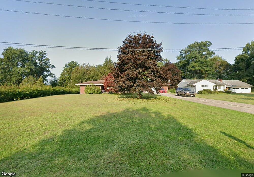
257 Parrish Rd Conneaut, OH 44030
Estimated Value: $181,000 - $278,000
4
Beds
2
Baths
1,672
Sq Ft
$141/Sq Ft
Est. Value
About This Home
This home is located at 257 Parrish Rd, Conneaut, OH 44030 and is currently estimated at $235,730, approximately $140 per square foot. 257 Parrish Rd is a home located in Ashtabula County with nearby schools including Lakeshore Primary Elementary School, Gateway Elementary School, and Conneaut Middle School.
Ownership History
Date
Name
Owned For
Owner Type
Purchase Details
Closed on
Jul 24, 2023
Sold by
Lowe Michele R
Bought by
Deforrest Michele R
Current Estimated Value
Purchase Details
Closed on
Jul 30, 1999
Sold by
Baskin James F
Bought by
Chapin John W
Create a Home Valuation Report for This Property
The Home Valuation Report is an in-depth analysis detailing your home's value as well as a comparison with similar homes in the area
Home Values in the Area
Average Home Value in this Area
Purchase History
We collect this data history from publicly available records. To have your information removed, we recommend requesting removal directly through your county’s website.
| Date | Buyer | Sale Price | Title Company |
|---|---|---|---|
| Deforrest Michele R | -- | None Listed On Document | |
| Chapin John W | $145,000 | -- |
Source: Public Records
Tax History
| Year | Tax Paid | Tax Assessment Tax Assessment Total Assessment is a certain percentage of the fair market value that is determined by local assessors to be the total taxable value of land and additions on the property. | Land | Improvement |
|---|---|---|---|---|
| 2024 | $5,039 | $68,890 | $6,130 | $62,760 |
| 2023 | $3,192 | $68,890 | $6,130 | $62,760 |
| 2022 | $2,694 | $51,170 | $4,690 | $46,480 |
| 2021 | $2,741 | $51,170 | $4,690 | $46,480 |
| 2020 | $2,739 | $51,170 | $4,690 | $46,480 |
| 2019 | $2,481 | $45,510 | $8,090 | $37,420 |
| 2018 | $2,365 | $45,510 | $8,090 | $37,420 |
| 2017 | $2,159 | $45,510 | $8,090 | $37,420 |
| 2016 | $1,938 | $40,640 | $7,210 | $33,430 |
| 2015 | $1,957 | $40,640 | $7,210 | $33,430 |
| 2014 | $1,724 | $40,640 | $7,210 | $33,430 |
| 2013 | $2,030 | $49,250 | $5,920 | $43,330 |
Source: Public Records
Map
Nearby Homes
Your Personal Tour Guide
Ask me questions while you tour the home.