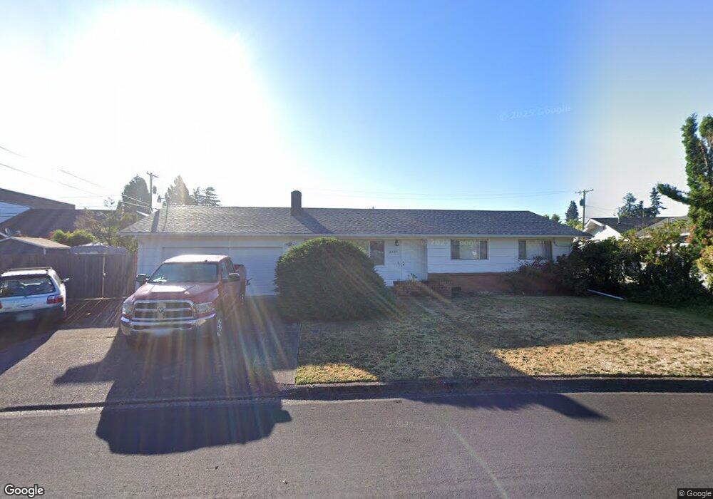
2577 5th St Springfield, OR 97477
North Springfield NeighborhoodEstimated Value: $456,000 - $503,000
About This Home
This home is located at 2577 5th St, Springfield, OR 97477 and is currently estimated at $473,232, approximately $278 per square foot. 2577 5th St is a home located in Lane County with nearby schools including Guy Lee Elementary School, Hamlin Middle School, and Springfield High School.
Ownership History
We collect this data history from publicly available records. To have your information removed, we recommend requesting removal directly through your county’s website.
Purchase Details
Purchase Details
Home Financials for this Owner
Home Financials are based on the most recent Mortgage that was taken out on this home.Home Values in the Area
Average Home Value in this Area
Purchase History
We collect this data history from publicly available records. To have your information removed, we recommend requesting removal directly through your county’s website.
| Date | Buyer | Sale Price | Title Company |
|---|---|---|---|
| -- | None Listed On Document | ||
| $141,000 | Western Pioneer Title Co |
Mortgage History
We collect this data history from publicly available records. To have your information removed, we recommend requesting removal directly through your county’s website.
| Date | Status | Borrower | Loan Amount |
|---|---|---|---|
| Previous Owner | $126,900 |
Tax History
We collect this data history from publicly available records. To have your information removed, we recommend requesting removal directly through your county’s website.
| Year | Tax Paid | Tax Assessment Tax Assessment Total Assessment is a certain percentage of the fair market value that is determined by local assessors to be the total taxable value of land and additions on the property. | Land | Improvement |
|---|---|---|---|---|
| 2025 | $4,087 | $279,019 | -- | -- |
| 2024 | $3,976 | $270,893 | -- | -- |
| 2023 | $3,976 | $263,003 | -- | -- |
| 2022 | $3,780 | $255,343 | $0 | $0 |
| 2021 | $3,698 | $247,906 | $0 | $0 |
| 2020 | $3,591 | $240,686 | $0 | $0 |
| 2019 | $3,465 | $233,676 | $0 | $0 |
| 2018 | $3,333 | $220,262 | $0 | $0 |
| 2017 | $3,234 | $220,262 | $0 | $0 |
| 2016 | $3,161 | $213,847 | $0 | $0 |
| 2015 | $3,085 | $207,618 | $0 | $0 |
| 2014 | $2,954 | $201,571 | $0 | $0 |
Map
- 2615 3rd St
- 778 V St
- 196 Hayden Bridge Way
- 906 McKenzie Crest Dr
- 114 Hayden Bridge Way
- 1101 Delrose Ct
- 76 Woodlane Dr
- 2063 2nd St
- 970 T St
- 2278 Rose Blossom Dr
- 1243 Delrose Dr
- 780 Q St
- 2150 Laura (#57) St Unit 57
- 2150 Laura St Unit 111
- 2150 Laura St Unit 113
- 2150 Laura St Unit 119
- 2150 Laura St Unit 39
- 2150 Laura St Unit 57
- 2150 Laura St Unit 79
- 2150 Laura St Unit 44
Ask me questions while you tour the home.