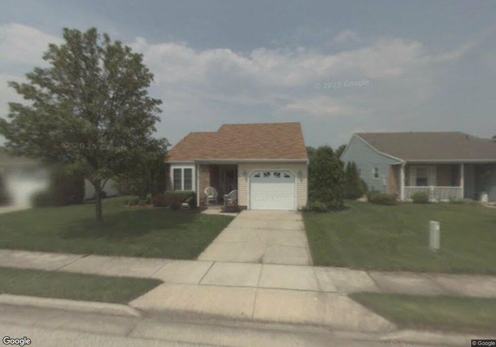
26 Bastian Dr Mount Laurel, NJ 08054
Estimated Value: $407,365 - $460,000
2
Beds
2
Baths
1,324
Sq Ft
$326/Sq Ft
Est. Value
About This Home
This home is located at 26 Bastian Dr, Mount Laurel, NJ 08054 and is currently estimated at $431,091, approximately $325 per square foot. 26 Bastian Dr is a home located in Burlington County with nearby schools including Hillside Elementary School, T.E. Harrington Middle School, and Mount Laurel Hartford School.
Ownership History
Date
Name
Owned For
Owner Type
Purchase Details
Closed on
Aug 27, 2003
Sold by
Vessio Veronica M
Bought by
Peters Rosemary A
Current Estimated Value
Home Financials for this Owner
Home Financials are based on the most recent Mortgage that was taken out on this home.
Original Mortgage
$100,000
Outstanding Balance
$46,326
Interest Rate
6.22%
Mortgage Type
Purchase Money Mortgage
Estimated Equity
$384,765
Purchase Details
Closed on
Sep 24, 2001
Sold by
Reily Paul I and Reily Margaret H
Bought by
Raskey Carmela
Create a Home Valuation Report for This Property
The Home Valuation Report is an in-depth analysis detailing your home's value as well as a comparison with similar homes in the area
Home Values in the Area
Average Home Value in this Area
Purchase History
| Date | Buyer | Sale Price | Title Company |
|---|---|---|---|
| Peters Rosemary A | $191,900 | National Title Agency | |
| Raskey Carmela | $159,500 | Congress Title Corp |
Source: Public Records
Mortgage History
| Date | Status | Borrower | Loan Amount |
|---|---|---|---|
| Open | Peters Rosemary A | $100,000 |
Source: Public Records
Tax History
| Year | Tax Paid | Tax Assessment Tax Assessment Total Assessment is a certain percentage of the fair market value that is determined by local assessors to be the total taxable value of land and additions on the property. | Land | Improvement |
|---|---|---|---|---|
| 2025 | $5,812 | $184,100 | $54,000 | $130,100 |
| 2024 | $5,593 | $184,100 | $54,000 | $130,100 |
| 2023 | $5,593 | $184,100 | $54,000 | $130,100 |
| 2022 | $5,575 | $184,100 | $54,000 | $130,100 |
| 2021 | $4,738 | $184,100 | $54,000 | $130,100 |
| 2020 | $5,363 | $184,100 | $54,000 | $130,100 |
| 2019 | $5,308 | $184,100 | $54,000 | $130,100 |
| 2018 | $5,267 | $184,100 | $54,000 | $130,100 |
| 2017 | $4,881 | $184,100 | $54,000 | $130,100 |
| 2016 | $4,804 | $184,100 | $54,000 | $130,100 |
| 2015 | $4,745 | $184,100 | $54,000 | $130,100 |
| 2014 | $4,695 | $184,100 | $54,000 | $130,100 |
Source: Public Records
Map
Nearby Homes
- 83 Eddystone Way
- 6 E Cortland Ct
- 3 Newtown Ct
- 3 Avandale Ct
- 107 Bastian Dr
- 12 Taconia Ct
- 23 E Oleander Dr
- 2 Emory Ln
- 91 Center Ln Unit 91
- 112 Village Ln Unit 112
- 202B Arrowood Ct
- 17 White Stone Ct
- 903 Ginger Ct
- 1206B Ginger Ct
- 704 Cornwallis Dr
- 2803 Sweetleaf Terrace Unit 2803
- 88B Red Cedar Ct
- 98B Red Cedar Ct
- 1701A Steeplebush Terrace
- 303 Moonseed Place
Your Personal Tour Guide
Ask me questions while you tour the home.