26 Blackberry Dr Rabun Gap, GA 30568
Estimated Value: $490,947 - $667,000
3
Beds
2
Baths
3,416
Sq Ft
$168/Sq Ft
Est. Value
About This Home
This home is located at 26 Blackberry Dr, Rabun Gap, GA 30568 and is currently estimated at $574,987, approximately $168 per square foot. 26 Blackberry Dr is a home located in Rabun County with nearby schools including Rabun County Primary School, Rabun County High School, and Rabun Gap Nacoochee School.
Ownership History
Date
Name
Owned For
Owner Type
Purchase Details
Closed on
Apr 30, 2008
Sold by
Not Provided
Bought by
Turner George Christopher and Turner Mary Katherine
Current Estimated Value
Home Financials for this Owner
Home Financials are based on the most recent Mortgage that was taken out on this home.
Original Mortgage
$292,500
Outstanding Balance
$182,561
Interest Rate
5.86%
Mortgage Type
New Conventional
Estimated Equity
$392,426
Purchase Details
Closed on
Sep 1, 1995
Bought by
Fowle Daniel S and Fowle Susan D
Purchase Details
Closed on
Oct 1, 1988
Create a Home Valuation Report for This Property
The Home Valuation Report is an in-depth analysis detailing your home's value as well as a comparison with similar homes in the area
Home Values in the Area
Average Home Value in this Area
Purchase History
| Date | Buyer | Sale Price | Title Company |
|---|---|---|---|
| Turner George Christopher | -- | -- | |
| Turner George Christopher | $162,500 | -- | |
| Turner George Christopher | -- | -- | |
| Turner George Christopher | $162,500 | -- | |
| Fowle Daniel S | $21,000 | -- | |
| Fowle Daniel S | $21,000 | -- | |
| -- | $25,000 | -- | |
| -- | $25,000 | -- |
Source: Public Records
Mortgage History
| Date | Status | Borrower | Loan Amount |
|---|---|---|---|
| Open | Turner George Christopher | $292,500 | |
| Closed | Turner George Christopher | $292,500 |
Source: Public Records
Tax History
| Year | Tax Paid | Tax Assessment Tax Assessment Total Assessment is a certain percentage of the fair market value that is determined by local assessors to be the total taxable value of land and additions on the property. | Land | Improvement |
|---|---|---|---|---|
| 2025 | $2,490 | $155,144 | $16,800 | $138,344 |
| 2024 | $2,358 | $146,913 | $16,800 | $130,113 |
| 2023 | $2,343 | $128,016 | $16,800 | $111,216 |
| 2022 | $2,227 | $121,697 | $14,400 | $107,297 |
| 2021 | $2,048 | $109,217 | $13,440 | $95,777 |
| 2020 | $2,072 | $106,843 | $13,440 | $93,403 |
| 2019 | $1,754 | $89,780 | $13,440 | $76,340 |
| 2018 | $1,760 | $89,780 | $13,440 | $76,340 |
| 2017 | $1,688 | $89,780 | $13,440 | $76,340 |
| 2016 | $1,692 | $89,780 | $13,440 | $76,340 |
| 2015 | $1,711 | $88,862 | $13,440 | $75,422 |
| 2014 | $1,736 | $89,656 | $13,440 | $76,216 |
Source: Public Records
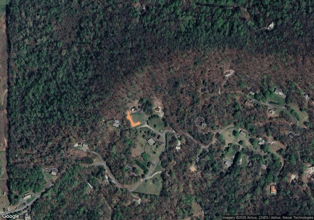
Map
Nearby Homes
- 668 Mountainside Dr
- 407 Blackberry Dr
- 355 Henslee Hollow Ln
- 182 Blueberry Ln
- 416 Winding View
- 0 Chestnut Mountain Dr Unit 10709553
- 333 Favor
- 0 LOT 35 Winter Ct Unit 35
- 0 Winter Ct Unit 10686546
- LOT 113 Mountain Ridge Dr
- LOT 112 Mountain Ridge Dr
- 0 Deep Woods Ln Unit LOT 9 8796010
- LOT 205 Shake Hollow Dr
- LOT 204 Shake Hollow Dr
- LOT 22 Shake Hollow Dr
- 16 Riverview Ln
- 476 Franklin St
- 0 Uplander Unit 10628218
- 0 Uplander Unit M181832
- 0 Uplander Unit 10662256
- 0 Blackberry Dr Unit LT 17A2 2927876
- 0 Blackberry Dr Unit LT 17A2 7035088
- 0 Blackberry Dr Unit 20060401
- 536 Mountainside Dr
- 563 Mountainside Dr
- 7 Blackberry Dr
- 000 Blueberry Ln
- 90 Blackberry Dr
- 534 Mountainside Dr
- 139 Blackberry Dr
- 670 Mountainside Dr
- 206 Po Folks Ln
- 146 Blackberry Dr
- 60 Blueberry Ln
- 299 Henslee Hollow Ln
- 504 Blackberry Dr Unit 8
- 504 Blackberry Dr
- 83 Blueberry Ln
- 100 Blueberry Ln
- 417 Mountainside Dr
Your Personal Tour Guide
Ask me questions while you tour the home.