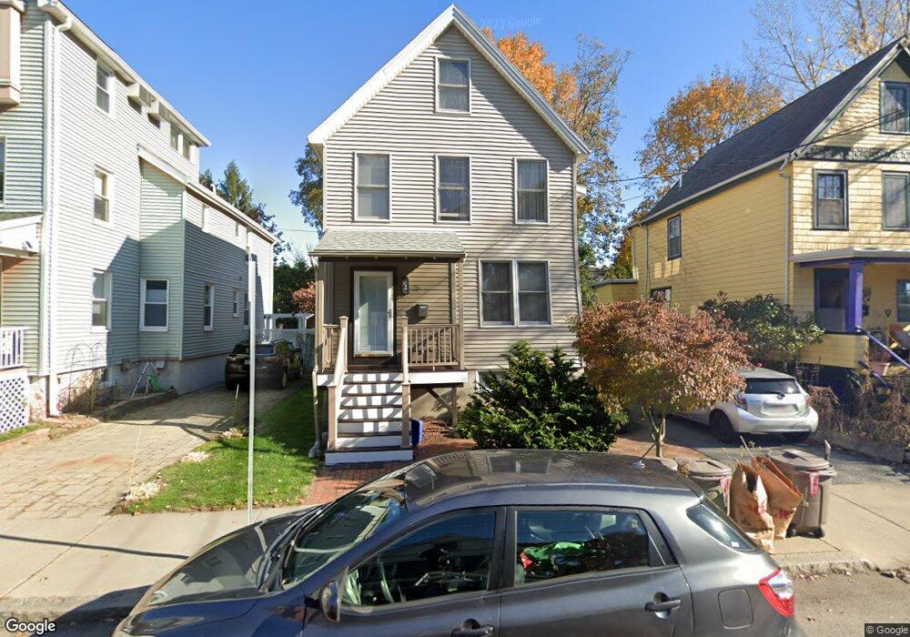
26 Brookford St Cambridge, MA 02140
North Cambridge NeighborhoodEstimated Value: $1,264,000 - $1,579,000
2
Beds
2
Baths
1,306
Sq Ft
$1,072/Sq Ft
Est. Value
About This Home
This home is located at 26 Brookford St, Cambridge, MA 02140 and is currently estimated at $1,399,919, approximately $1,071 per square foot. 26 Brookford St is a home located in Middlesex County with nearby schools including Benjamin Banneker Charter Public School, International School of Boston, and Lesley Ellis School.
Ownership History
Date
Name
Owned For
Owner Type
Purchase Details
Closed on
Nov 19, 2010
Sold by
Sloane Tatyana P
Bought by
Sloane Ft and Sloane Timothy
Current Estimated Value
Purchase Details
Closed on
Jan 5, 1987
Sold by
Forrest Joseph W
Bought by
Sloane David A
Home Financials for this Owner
Home Financials are based on the most recent Mortgage that was taken out on this home.
Original Mortgage
$138,000
Interest Rate
9.59%
Mortgage Type
Purchase Money Mortgage
Create a Home Valuation Report for This Property
The Home Valuation Report is an in-depth analysis detailing your home's value as well as a comparison with similar homes in the area
Home Values in the Area
Average Home Value in this Area
Purchase History
| Date | Buyer | Sale Price | Title Company |
|---|---|---|---|
| Sloane Ft | -- | -- | |
| Sloane Tatyana P | -- | -- | |
| Sloane David A | $155,000 | -- |
Source: Public Records
Mortgage History
| Date | Status | Borrower | Loan Amount |
|---|---|---|---|
| Previous Owner | Sloane David A | $128,000 | |
| Previous Owner | Sloane David A | $138,000 |
Source: Public Records
Tax History
| Year | Tax Paid | Tax Assessment Tax Assessment Total Assessment is a certain percentage of the fair market value that is determined by local assessors to be the total taxable value of land and additions on the property. | Land | Improvement |
|---|---|---|---|---|
| 2025 | $7,501 | $1,181,200 | $539,100 | $642,100 |
| 2024 | $6,963 | $1,176,100 | $561,500 | $614,600 |
| 2023 | $6,469 | $1,104,000 | $572,700 | $531,300 |
| 2022 | $5,938 | $1,003,100 | $554,400 | $448,700 |
| 2021 | $5,612 | $959,300 | $556,300 | $403,000 |
| 2020 | $5,298 | $921,400 | $539,900 | $381,500 |
| 2019 | $4,931 | $830,100 | $482,000 | $348,100 |
| 2018 | $4,762 | $737,900 | $405,900 | $332,000 |
| 2017 | $4,485 | $691,000 | $380,500 | $310,500 |
| 2016 | $4,285 | $613,000 | $329,700 | $283,300 |
| 2015 | $4,245 | $542,800 | $289,900 | $252,900 |
| 2014 | $4,234 | $505,200 | $253,700 | $251,500 |
Source: Public Records
Map
Nearby Homes
- 30 Brookford St
- 38 Brookford St Unit 2
- 22 Cottage Park Ave Unit 1
- 97 Elmwood St Unit 313
- 97 Elmwood St Unit 110
- 97 Elmwood St Unit 310
- 126 Harvey St Unit 2
- 22 Madison Ave
- 3 Foch St
- 15 Foch St
- 8 Seven Pines Ave
- 38 Lafayette St Unit 38
- 5 Glendale Ave Unit 5
- 54 Jackson St Unit 2
- 2353 Massachusetts Ave Unit 44
- 2353 Massachusetts Ave Unit 93
- 35 Fairmont St Unit 1
- 30 Montgomery St
- 58 Elmwood St Unit 60
- 58 Elmwood St Unit 58
- 22 Brookford St
- 22 Brookford St Unit 1
- 34 Brookford St
- 18 Brookford St
- 16 Brookford St
- 13 Cottage Park Ave
- 13 Cottage Park Ave Unit 2
- 23 Brookford St
- 31 Brookford St
- 31 Brookford St Unit 2
- 9 Cottage Park Ave
- 9 Cottage Park Ave Unit 2
- 9 Cottage Park Ave Unit 1
- 2528 Massachusetts Ave
- 2528 Massachusetts Ave Unit store
- 27 Brookford St
- 19 Brookford St Unit room A
- 19 Brookford St Unit 1
- 19 Brookford St
- 19 Brookford St
Your Personal Tour Guide
Ask me questions while you tour the home.