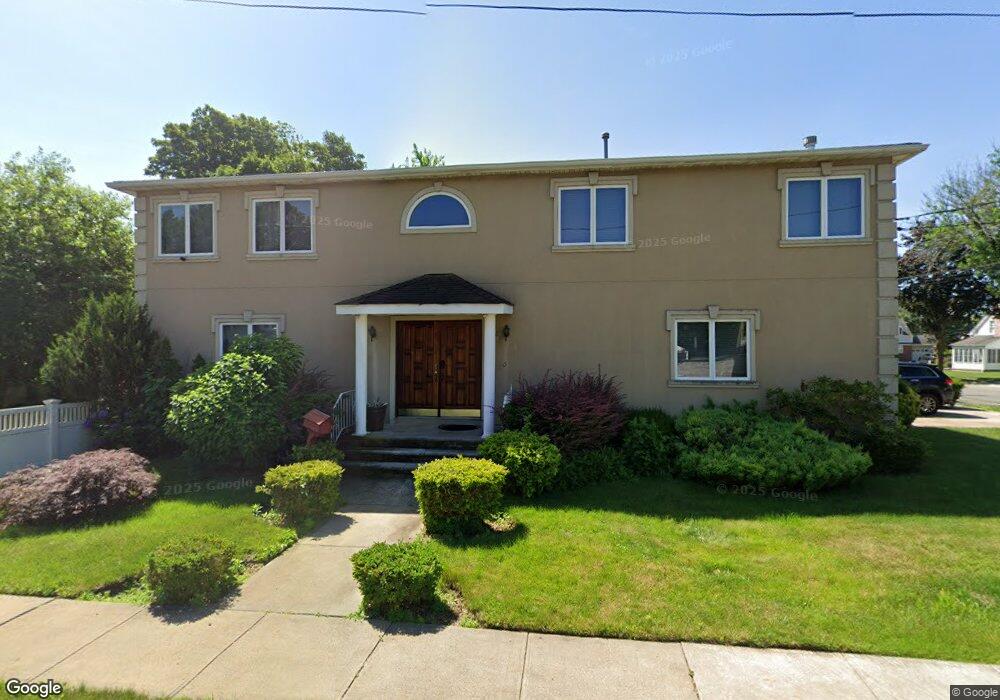
26 Cherry Ln Hempstead, NY 11550
Estimated Value: $776,476 - $820,000
Studio
4
Baths
2,704
Sq Ft
$295/Sq Ft
Est. Value
About This Home
This home is located at 26 Cherry Ln, Hempstead, NY 11550 and is currently estimated at $798,238, approximately $295 per square foot. 26 Cherry Ln is a home located in Nassau County with nearby schools including California Avenue Elementary School, Turtle Hook Middle School, and Uniondale High School.
Ownership History
Date
Name
Owned For
Owner Type
Purchase Details
Closed on
Jul 29, 2010
Sold by
Wilkins Bevely A
Bought by
Joasil Patrick
Current Estimated Value
Home Financials for this Owner
Home Financials are based on the most recent Mortgage that was taken out on this home.
Original Mortgage
$320,000
Outstanding Balance
$212,511
Interest Rate
4.63%
Mortgage Type
Purchase Money Mortgage
Estimated Equity
$585,727
Purchase Details
Closed on
Feb 1, 1999
Sold by
Vogt Kalvin
Bought by
Wlkins Wilhelmenia and Wlkins Beverly A
Home Financials for this Owner
Home Financials are based on the most recent Mortgage that was taken out on this home.
Original Mortgage
$213,750
Interest Rate
6.75%
Purchase Details
Closed on
Aug 6, 1997
Sold by
Lynn Turceon
Bought by
Vogt Kalvin
Create a Home Valuation Report for This Property
The Home Valuation Report is an in-depth analysis detailing your home's value as well as a comparison with similar homes in the area
Home Values in the Area
Average Home Value in this Area
Purchase History
| Date | Buyer | Sale Price | Title Company |
|---|---|---|---|
| Joasil Patrick | $400,000 | -- | |
| Wlkins Wilhelmenia | $225,000 | -- | |
| Wilkins Wilhelmenia | $225,000 | First American Title Ins Co | |
| Vogt Kalvin | $40,000 | -- |
Source: Public Records
Mortgage History
| Date | Status | Borrower | Loan Amount |
|---|---|---|---|
| Open | Joasil Patrick | $320,000 | |
| Previous Owner | Wilkins Wilhelmenia | $213,750 |
Source: Public Records
Tax History
| Year | Tax Paid | Tax Assessment Tax Assessment Total Assessment is a certain percentage of the fair market value that is determined by local assessors to be the total taxable value of land and additions on the property. | Land | Improvement |
|---|---|---|---|---|
| 2025 | $7,567 | $478 | $123 | $355 |
| 2024 | $1,191 | $478 | $123 | $355 |
| 2023 | $5,715 | $478 | $123 | $355 |
| 2022 | $5,715 | $478 | $123 | $355 |
| 2021 | $5,332 | $534 | $137 | $397 |
| 2020 | $3,357 | $661 | $412 | $249 |
| 2019 | $6,099 | $709 | $415 | $294 |
| 2018 | $6,278 | $756 | $0 | $0 |
| 2017 | $5,404 | $803 | $355 | $448 |
| 2016 | $6,809 | $850 | $376 | $474 |
| 2015 | $1,675 | $1,000 | $442 | $558 |
| 2014 | $1,675 | $1,000 | $442 | $558 |
| 2013 | $1,550 | $1,000 | $442 | $558 |
Source: Public Records
Map
Nearby Homes
- 17 Hope St
- 22 Fairview Blvd
- 119 Broadfield Rd
- 59 Kernochan Ave
- 64 Fairview Blvd
- 122 Hamilton Rd
- 63 Devon Rd
- 49 Fairview Blvd
- 811 Front St
- 95 Rhodes Ave
- 27 Elizabeth Ct
- 41 Perry St
- 676 Front St Unit F
- 126 Fairview Blvd
- 16 Hendrickson Ave
- 136 Fairview Blvd
- 678 Front St Unit E
- 155 Rhodes Ave
- 296 Harvard St
- 104 Phoenix St
Your Personal Tour Guide
Ask me questions while you tour the home.