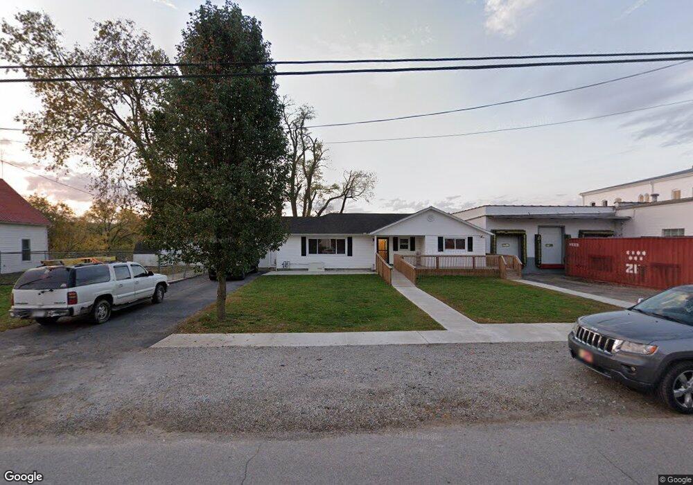
26 E 7th St Manchester, OH 45144
Estimated Value: $84,000 - $93,000
3
Beds
2
Baths
1,384
Sq Ft
$64/Sq Ft
Est. Value
About This Home
This home is located at 26 E 7th St, Manchester, OH 45144 and is currently estimated at $88,500, approximately $63 per square foot. 26 E 7th St is a home located in Adams County with nearby schools including Manchester Elementary School and Manchester High School.
Ownership History
Date
Name
Owned For
Owner Type
Purchase Details
Closed on
Jun 9, 2021
Sold by
King Diana Dee
Bought by
Scott Timothy D and Scott Tammy J
Current Estimated Value
Purchase Details
Closed on
Oct 21, 1994
Bought by
King Diana Dee
Create a Home Valuation Report for This Property
The Home Valuation Report is an in-depth analysis detailing your home's value as well as a comparison with similar homes in the area
Purchase History
| Date | Buyer | Sale Price | Title Company |
|---|---|---|---|
| Scott Timothy D | $50,000 | None Available | |
| King Diana Dee | $57,200 | -- |
Source: Public Records
Tax History
| Year | Tax Paid | Tax Assessment Tax Assessment Total Assessment is a certain percentage of the fair market value that is determined by local assessors to be the total taxable value of land and additions on the property. | Land | Improvement |
|---|---|---|---|---|
| 2025 | $1,262 | $27,930 | $4,200 | $23,730 |
| 2024 | $1,262 | $27,930 | $4,200 | $23,730 |
| 2023 | $1,268 | $27,930 | $4,200 | $23,730 |
| 2022 | $1,229 | $23,910 | $3,220 | $20,690 |
| 2021 | $734 | $25,340 | $3,220 | $22,120 |
| 2020 | $785 | $25,340 | $3,220 | $22,120 |
| 2019 | $719 | $25,340 | $3,220 | $22,120 |
| 2018 | $867 | $25,340 | $3,220 | $22,120 |
| 2017 | $784 | $25,340 | $3,220 | $22,120 |
| 2016 | $780 | $25,340 | $3,220 | $22,120 |
| 2015 | $675 | $25,660 | $3,540 | $22,120 |
| 2014 | $672 | $25,660 | $3,540 | $22,120 |
Source: Public Records
Map
Nearby Homes
- 312 E 8th St
- 400 E 7th St
- 60 ac U S Route 52
- ac U S Route 52
- 502 E 6th St
- 301 W 2nd St
- 0 Easy St
- 840 Easy St
- 776 Linda Vista Dr
- 1334 Roush Hill Rd
- 1458 State Route 136
- 631 Cabin Creek Rd
- 1922 Ohio 136
- 379 Wilma Ln
- 0 Ginger Ridge Rd Unit 1872852
- 2614 Ginger Ridge Rd
- 0 Gray Road Lot Unit Wp001 23732449
- 0 Gray Road Lot Unit Wp001 23743114
- 0 Gray Road Lot Unit Wp001
- 464 Amason Ln
Your Personal Tour Guide
Ask me questions while you tour the home.