26 Maple Dr Brooks, ME 04921
Estimated Value: $327,000 - $413,000
2
Beds
2
Baths
1,288
Sq Ft
$287/Sq Ft
Est. Value
About This Home
This home is located at 26 Maple Dr, Brooks, ME 04921 and is currently estimated at $370,115, approximately $287 per square foot. 26 Maple Dr is a home located in Waldo County with nearby schools including Mt. View Middle School and Mt. View High School.
Ownership History
Date
Name
Owned For
Owner Type
Purchase Details
Closed on
Jun 30, 2015
Sold by
Rose Patricia
Bought by
Wilson Michael and Wilson Jane
Current Estimated Value
Home Financials for this Owner
Home Financials are based on the most recent Mortgage that was taken out on this home.
Original Mortgage
$112,500
Outstanding Balance
$86,420
Interest Rate
3.84%
Mortgage Type
Commercial
Estimated Equity
$283,695
Create a Home Valuation Report for This Property
The Home Valuation Report is an in-depth analysis detailing your home's value as well as a comparison with similar homes in the area
Purchase History
| Date | Buyer | Sale Price | Title Company |
|---|---|---|---|
| Wilson Michael | -- | -- |
Source: Public Records
Mortgage History
| Date | Status | Borrower | Loan Amount |
|---|---|---|---|
| Open | Wilson Michael | $112,500 |
Source: Public Records
Tax History
| Year | Tax Paid | Tax Assessment Tax Assessment Total Assessment is a certain percentage of the fair market value that is determined by local assessors to be the total taxable value of land and additions on the property. | Land | Improvement |
|---|---|---|---|---|
| 2024 | $4,604 | $255,800 | $60,900 | $194,900 |
| 2023 | $3,937 | $207,200 | $44,300 | $162,900 |
| 2022 | $3,522 | $207,200 | $44,300 | $162,900 |
| 2021 | $3,232 | $190,100 | $40,200 | $149,900 |
| 2020 | $3,384 | $180,000 | $36,600 | $143,400 |
| 2019 | $3,123 | $163,500 | $33,200 | $130,300 |
| 2017 | $3,107 | $163,500 | $33,200 | $130,300 |
| 2016 | $2,902 | $163,500 | $33,200 | $130,300 |
| 2015 | $2,562 | $148,500 | $18,200 | $130,300 |
| 2014 | $2,450 | $148,500 | $18,200 | $130,300 |
| 2012 | $2,376 | $148,500 | $18,200 | $130,300 |
Source: Public Records
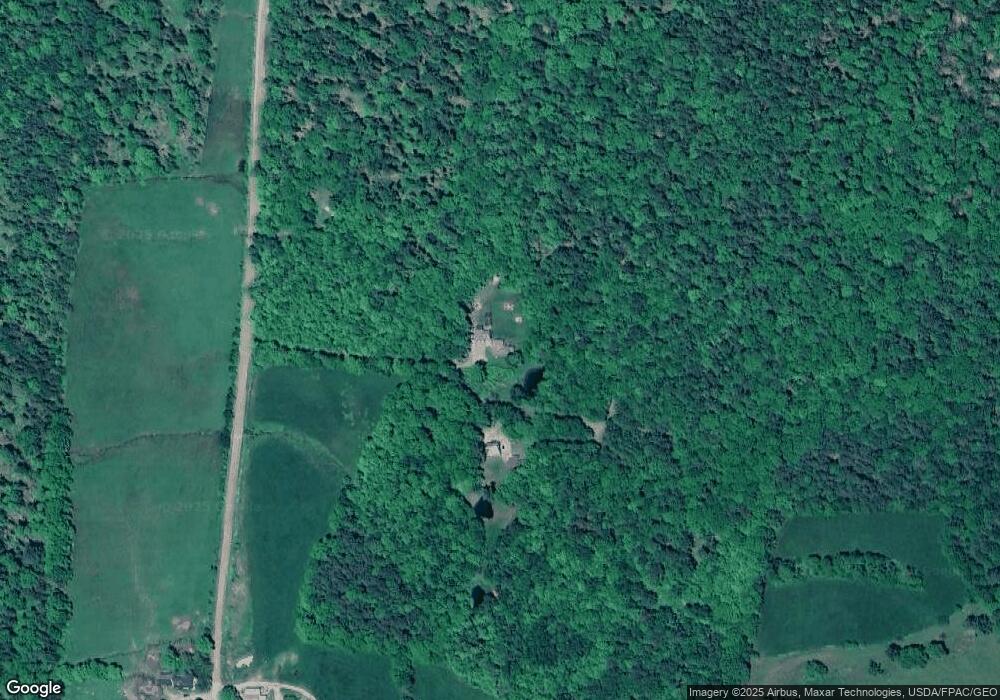
Map
Nearby Homes
- 36 Wescott Stream Rd
- 928 Waldo Station Rd
- 243 Lang Hill Hwy
- 71 Reynolds Rd
- 87 Monroe Hwy
- 33 Veterans Hwy
- 119 Reynolds Rd
- 26 Purple Heart Hwy
- 408 Oak Hill Rd
- 452 Moosehead Trail Hwy
- 1057 Back Brooks Rd
- 1142 Swan Lake Ave
- 741 Swan Lake Ave
- M5L28-5 Moosehead Trail Hwy
- 0 Moosehead Trail Unit LotWP001
- 00 Harriman Rd
- 1 Goose River Estates
- 12 Goose River Estates
- 1564 Swan Lake Ave
- 2 Goose River Estates
- 29 Maple Dr
- 21 Maple Dr
- 1600 Littlefield Rd
- 0 Maple Dr
- 1647 Littlefield Rd
- 00 Littlefield Rd
- 1537 Littlefield Rd
- 1515 Littlefield Rd
- 1505 Littlefield Rd
- 1739 Littlefield Rd
- 1463 Littlefield Rd
- 117 S Brooks Rd
- 1470 Littlefield Rd
- 1450 Littlefield Rd
- 67 S Brooks Rd
- 1776 Littlefield Rd
- 72 Mill Ln
- 1432 Littlefield Rd
- 17 Moody Dr
- 19 Moody Dr
Your Personal Tour Guide
Ask me questions while you tour the home.