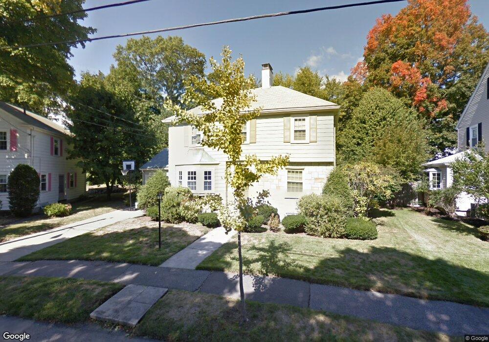
26 Marilyn Rd Milton, MA 02186
Columbine Cliffs NeighborhoodEstimated Value: $999,000 - $1,272,000
3
Beds
2
Baths
1,537
Sq Ft
$717/Sq Ft
Est. Value
About This Home
This home is located at 26 Marilyn Rd, Milton, MA 02186 and is currently estimated at $1,102,794, approximately $717 per square foot. 26 Marilyn Rd is a home located in Norfolk County with nearby schools including Milton High School, St. Mary of the Hills School, and Milton Academy.
Ownership History
Date
Name
Owned For
Owner Type
Purchase Details
Closed on
Apr 18, 1996
Sold by
Daly Daniel J and Daly Alice M
Bought by
Vega Michael B and Vega Barbara L
Current Estimated Value
Home Financials for this Owner
Home Financials are based on the most recent Mortgage that was taken out on this home.
Original Mortgage
$197,000
Outstanding Balance
$9,264
Interest Rate
7.34%
Mortgage Type
Purchase Money Mortgage
Estimated Equity
$1,093,530
Create a Home Valuation Report for This Property
The Home Valuation Report is an in-depth analysis detailing your home's value as well as a comparison with similar homes in the area
Home Values in the Area
Average Home Value in this Area
Purchase History
We collect this data history from publicly available records. To have your information removed, we recommend requesting removal directly through your county’s website.
| Date | Buyer | Sale Price | Title Company |
|---|---|---|---|
| Vega Michael B | $207,500 | -- |
Source: Public Records
Mortgage History
We collect this data history from publicly available records. To have your information removed, we recommend requesting removal directly through your county’s website.
| Date | Status | Borrower | Loan Amount |
|---|---|---|---|
| Open | Vega Michael B | $197,000 |
Source: Public Records
Tax History
| Year | Tax Paid | Tax Assessment Tax Assessment Total Assessment is a certain percentage of the fair market value that is determined by local assessors to be the total taxable value of land and additions on the property. | Land | Improvement |
|---|---|---|---|---|
| 2025 | $10,921 | $984,800 | $560,600 | $424,200 |
| 2024 | $10,464 | $958,200 | $534,000 | $424,200 |
| 2023 | $10,230 | $897,400 | $508,600 | $388,800 |
| 2022 | $10,113 | $811,000 | $508,600 | $302,400 |
| 2021 | $9,630 | $733,400 | $445,400 | $288,000 |
| 2020 | $9,494 | $723,600 | $441,200 | $282,400 |
| 2019 | $9,240 | $701,100 | $428,300 | $272,800 |
| 2018 | $8,373 | $606,300 | $338,100 | $268,200 |
| 2017 | $7,835 | $577,800 | $322,000 | $255,800 |
| 2016 | $7,182 | $532,000 | $281,700 | $250,300 |
| 2015 | $6,779 | $486,300 | $241,500 | $244,800 |
Source: Public Records
Map
Nearby Homes
- 60 Marilyn Rd
- 10 Magnolia Rd
- 30 Magnolia Rd
- 13 Cantwell Rd
- 168 Brook Rd
- 34 Avalon Rd
- 40 Elm St
- 244 Eliot St Unit 2
- 9 Crown St
- 625 Canton Ave
- 15 Crown St
- 106 Central Ave
- 7 Parkway Crescent
- 67 Maple St
- 70 Brush Hill Rd Unit 72
- 147 Canton Ave
- 112 Brush Hill Rd
- 213 School St
- 38 Monponset St
- 640 River St
Your Personal Tour Guide
Ask me questions while you tour the home.