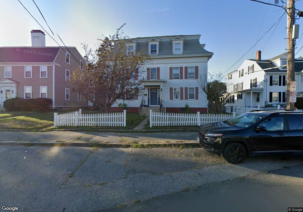
26 Middle St Gloucester, MA 01930
Central Gloucester NeighborhoodEstimated Value: $922,199 - $1,070,000
9
Beds
3
Baths
4,640
Sq Ft
$214/Sq Ft
Est. Value
About This Home
This home is located at 26 Middle St, Gloucester, MA 01930 and is currently estimated at $993,800, approximately $214 per square foot. 26 Middle St is a home located in Essex County with nearby schools including Beeman Memorial, Ralph B O'maley Middle School, and Gloucester High School.
Ownership History
Date
Name
Owned For
Owner Type
Purchase Details
Closed on
Nov 30, 2010
Sold by
Palazola Gaspar J and Kreseskie Frances
Bought by
Tierney Nikki M
Current Estimated Value
Home Financials for this Owner
Home Financials are based on the most recent Mortgage that was taken out on this home.
Original Mortgage
$355,216
Outstanding Balance
$234,127
Interest Rate
4.25%
Mortgage Type
Purchase Money Mortgage
Estimated Equity
$759,673
Create a Home Valuation Report for This Property
The Home Valuation Report is an in-depth analysis detailing your home's value as well as a comparison with similar homes in the area
Home Values in the Area
Average Home Value in this Area
Purchase History
| Date | Buyer | Sale Price | Title Company |
|---|---|---|---|
| Tierney Nikki M | $360,000 | -- |
Source: Public Records
Mortgage History
| Date | Status | Borrower | Loan Amount |
|---|---|---|---|
| Open | Tierney Nikki M | $355,216 |
Source: Public Records
Tax History
| Year | Tax Paid | Tax Assessment Tax Assessment Total Assessment is a certain percentage of the fair market value that is determined by local assessors to be the total taxable value of land and additions on the property. | Land | Improvement |
|---|---|---|---|---|
| 2025 | $8,813 | $906,700 | $164,700 | $742,000 |
| 2024 | $8,677 | $891,800 | $156,800 | $735,000 |
| 2023 | $9,008 | $850,600 | $140,000 | $710,600 |
| 2022 | $8,546 | $728,600 | $121,800 | $606,800 |
| 2021 | $8,261 | $664,100 | $110,700 | $553,400 |
| 2020 | $7,793 | $632,000 | $110,700 | $521,300 |
| 2019 | $7,161 | $564,300 | $110,700 | $453,600 |
| 2018 | $6,605 | $510,800 | $110,700 | $400,100 |
| 2017 | $6,218 | $471,400 | $99,700 | $371,700 |
| 2016 | $5,824 | $427,900 | $99,700 | $328,200 |
| 2015 | $5,699 | $417,500 | $99,700 | $317,800 |
Source: Public Records
Map
Nearby Homes
- 33 Middle St
- 35 Middle St Unit 4
- 20 Beacon St
- 20 Beacon St Unit 2
- 20 Beacon St Unit 1
- 120 Washington St
- 191 Main St Unit 3
- 191 Main St Unit 2A
- 13 Leslie o Johnson Rd
- 33 Maplewood Ave Unit 310
- 15 Harvard St
- 113 Pleasant St
- 50 Warner St
- 9 Cleveland Place
- 14R Spring St Unit 3
- 40 Sargent St
- 60 Rocky Neck Ave Unit 202
- 6 Monroe Ct
- 73 Rocky Neck Ave Unit 2
- 23 Mount Vernon St
Your Personal Tour Guide
Ask me questions while you tour the home.