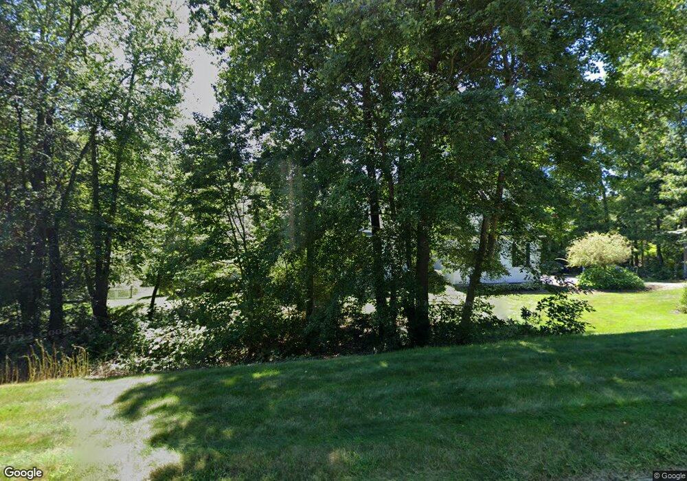
26 Vincent Rd Mendon, MA 01756
Estimated Value: $783,000 - $1,001,000
4
Beds
3
Baths
3,430
Sq Ft
$261/Sq Ft
Est. Value
About This Home
This home is located at 26 Vincent Rd, Mendon, MA 01756 and is currently estimated at $893,717, approximately $260 per square foot. 26 Vincent Rd is a home located in Worcester County with nearby schools including Nipmuc Regional High School, Bethany Christian Academy, and Mendon Mennonite School.
Ownership History
Date
Name
Owned For
Owner Type
Purchase Details
Closed on
Aug 10, 1999
Sold by
Obrien Kenneth M
Bought by
Young Brian T and Murray-Young Mary
Current Estimated Value
Purchase Details
Closed on
Feb 26, 1999
Sold by
Blueberry Develop T and Gollinger John F
Bought by
Obrien Kenneth M
Create a Home Valuation Report for This Property
The Home Valuation Report is an in-depth analysis detailing your home's value as well as a comparison with similar homes in the area
Home Values in the Area
Average Home Value in this Area
Purchase History
We collect this data history from publicly available records. To have your information removed, we recommend requesting removal directly through your county’s website.
| Date | Buyer | Sale Price | Title Company |
|---|---|---|---|
| Young Brian T | $110,000 | -- | |
| Obrien Kenneth M | $84,000 | -- |
Source: Public Records
Mortgage History
We collect this data history from publicly available records. To have your information removed, we recommend requesting removal directly through your county’s website.
| Date | Status | Borrower | Loan Amount |
|---|---|---|---|
| Open | Obrien Kenneth M | $366,000 | |
| Closed | Obrien Kenneth M | $100,000 |
Source: Public Records
Tax History
| Year | Tax Paid | Tax Assessment Tax Assessment Total Assessment is a certain percentage of the fair market value that is determined by local assessors to be the total taxable value of land and additions on the property. | Land | Improvement |
|---|---|---|---|---|
| 2025 | $12,068 | $901,300 | $200,700 | $700,600 |
| 2024 | $11,394 | $831,100 | $193,000 | $638,100 |
| 2023 | $11,017 | $754,600 | $172,200 | $582,400 |
| 2022 | $10,517 | $682,500 | $172,000 | $510,500 |
| 2021 | $10,537 | $627,600 | $166,800 | $460,800 |
| 2020 | $10,117 | $604,000 | $160,100 | $443,900 |
| 2019 | $9,498 | $567,400 | $149,000 | $418,400 |
| 2018 | $9,238 | $544,700 | $149,000 | $395,700 |
| 2017 | $9,427 | $531,100 | $149,000 | $382,100 |
| 2016 | $9,099 | $527,500 | $150,900 | $376,600 |
| 2015 | $8,098 | $505,800 | $150,900 | $354,900 |
| 2014 | $7,883 | $492,100 | $152,900 | $339,200 |
Source: Public Records
Map
Nearby Homes
Your Personal Tour Guide
Ask me questions while you tour the home.