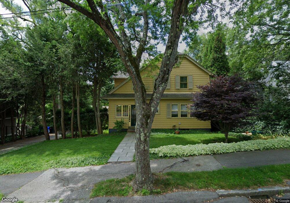
26 Walnut Hill Rd Chestnut Hill, MA 02467
South Brookline NeighborhoodEstimated Value: $1,468,000 - $1,704,000
3
Beds
3
Baths
1,746
Sq Ft
$919/Sq Ft
Est. Value
About This Home
This home is located at 26 Walnut Hill Rd, Chestnut Hill, MA 02467 and is currently estimated at $1,605,144, approximately $919 per square foot. 26 Walnut Hill Rd is a home located in Norfolk County with nearby schools including Baker School, Brookline High School, and Dexter School.
Ownership History
Date
Name
Owned For
Owner Type
Purchase Details
Closed on
Mar 27, 2008
Sold by
Hunter David and Hunter Joanna
Bought by
Mckendry Joseph and Mckendry Susan
Current Estimated Value
Home Financials for this Owner
Home Financials are based on the most recent Mortgage that was taken out on this home.
Original Mortgage
$350,000
Outstanding Balance
$212,224
Interest Rate
5.76%
Mortgage Type
Purchase Money Mortgage
Estimated Equity
$1,392,920
Purchase Details
Closed on
Jun 17, 2005
Sold by
Cohn Daniel and Cohn Joanne
Bought by
Hunter David and Hunter Joanna
Home Financials for this Owner
Home Financials are based on the most recent Mortgage that was taken out on this home.
Original Mortgage
$460,000
Interest Rate
5.78%
Mortgage Type
Purchase Money Mortgage
Create a Home Valuation Report for This Property
The Home Valuation Report is an in-depth analysis detailing your home's value as well as a comparison with similar homes in the area
Home Values in the Area
Average Home Value in this Area
Purchase History
We collect this data history from publicly available records. To have your information removed, we recommend requesting removal directly through your county’s website.
| Date | Buyer | Sale Price | Title Company |
|---|---|---|---|
| Mckendry Joseph | $740,000 | -- | |
| Mckendry Joseph | $740,000 | -- | |
| Hunter David | $754,000 | -- | |
| Hunter David | $754,000 | -- |
Source: Public Records
Mortgage History
We collect this data history from publicly available records. To have your information removed, we recommend requesting removal directly through your county’s website.
| Date | Status | Borrower | Loan Amount |
|---|---|---|---|
| Open | Mckendry Joseph | $350,000 | |
| Closed | Hunter David | $350,000 | |
| Previous Owner | Hunter David | $460,000 |
Source: Public Records
Tax History
| Year | Tax Paid | Tax Assessment Tax Assessment Total Assessment is a certain percentage of the fair market value that is determined by local assessors to be the total taxable value of land and additions on the property. | Land | Improvement |
|---|---|---|---|---|
| 2025 | $14,722 | $1,491,600 | $682,800 | $808,800 |
| 2024 | $14,035 | $1,436,500 | $656,600 | $779,900 |
| 2023 | $12,934 | $1,297,300 | $532,400 | $764,900 |
| 2022 | $12,590 | $1,235,500 | $507,000 | $728,500 |
| 2021 | $11,642 | $1,188,000 | $487,500 | $700,500 |
| 2020 | $10,718 | $1,134,200 | $443,200 | $691,000 |
| 2019 | $10,121 | $1,080,200 | $422,100 | $658,100 |
| 2018 | $10,146 | $1,072,500 | $422,100 | $650,400 |
| 2017 | $9,996 | $1,011,700 | $398,200 | $613,500 |
| 2016 | $9,853 | $945,600 | $372,100 | $573,500 |
| 2015 | $9,438 | $883,700 | $347,800 | $535,900 |
| 2014 | $9,594 | $842,300 | $316,200 | $526,100 |
Source: Public Records
Map
Nearby Homes
- 76 Goodnough Rd
- 32 Alberta Rd
- 152 Beverly Rd
- 71 Grove St
- 303 Russett Rd
- 367 Newton St
- 291 Russett Rd
- 87 Payson Rd
- 73 Beverly Rd
- 25 Clearwater Rd
- 17 Fairgreen Place
- 50-56 Broadlawn Park Unit 221
- 57 Broadlawn Park Unit 14B
- 24 Westgate Rd Unit 5
- 11 Crehore Rd
- 206 Lagrange St Unit 206
- 202 Allandale Rd Unit B
- 191 Newton St
- 390 Weld St Unit 2
- 66 Bryon Rd Unit 5
- 16 Goodnough Rd
- 15 - 0 Goodnough Rd
- 22 Goodnough Rd
- 8 Goodnough Rd
- 15 Goodnough Rd
- 19 Goodnough Rd
- 39 Walnut Hill Rd
- 45 Walnut Hill Rd
- 9 Goodnough Rd
- 28 Goodnough Rd
- 25 Goodnough Rd
- 3 Goodnough Rd
- 5 Shaw Rd
- 5 Shaw Rd Unit 5
- 11 Shaw Rd
- 09 Goodnough Rd
- 38 Walnut Hill Rd
- 32 Walnut Hill Rd
- 29 Goodnough Rd
- 40 Walnut Hill Rd
Your Personal Tour Guide
Ask me questions while you tour the home.