260 Longbranch Rd Eagle Point, OR 97524
Estimated Value: $439,077 - $549,000
2
Beds
2
Baths
1,873
Sq Ft
$255/Sq Ft
Est. Value
About This Home
This home is located at 260 Longbranch Rd, Eagle Point, OR 97524 and is currently estimated at $477,026, approximately $254 per square foot. 260 Longbranch Rd is a home located in Jackson County with nearby schools including Shady Cove School, Eagle Point Middle School, and White Mountain Middle School.
Ownership History
Date
Name
Owned For
Owner Type
Purchase Details
Closed on
Jan 11, 2017
Sold by
U S Bank National Association
Bought by
Moser Rene and Derry William
Current Estimated Value
Home Financials for this Owner
Home Financials are based on the most recent Mortgage that was taken out on this home.
Original Mortgage
$202,500
Outstanding Balance
$165,699
Interest Rate
4.13%
Mortgage Type
New Conventional
Estimated Equity
$311,327
Purchase Details
Closed on
Feb 16, 2016
Sold by
Gilbreath Emma and Gilbreath Davee
Bought by
Us Bank National Association
Purchase Details
Closed on
Dec 13, 2004
Sold by
Darnell Carl S
Bought by
Gilbreath Davee and Gilbreath Emma
Home Financials for this Owner
Home Financials are based on the most recent Mortgage that was taken out on this home.
Original Mortgage
$232,000
Interest Rate
6.35%
Mortgage Type
Unknown
Create a Home Valuation Report for This Property
The Home Valuation Report is an in-depth analysis detailing your home's value as well as a comparison with similar homes in the area
Purchase History
| Date | Buyer | Sale Price | Title Company |
|---|---|---|---|
| Moser Rene | $225,000 | Nextitle | |
| Us Bank National Association | $235,000 | None Available | |
| Gilbreath Davee | $290,000 | Amerititle |
Source: Public Records
Mortgage History
| Date | Status | Borrower | Loan Amount |
|---|---|---|---|
| Open | Moser Rene | $202,500 | |
| Previous Owner | Gilbreath Davee | $232,000 | |
| Closed | Gilbreath Davee | $58,000 |
Source: Public Records
Tax History
| Year | Tax Paid | Tax Assessment Tax Assessment Total Assessment is a certain percentage of the fair market value that is determined by local assessors to be the total taxable value of land and additions on the property. | Land | Improvement |
|---|---|---|---|---|
| 2026 | $3,128 | $274,460 | -- | -- |
| 2025 | $3,048 | $266,470 | $160,070 | $106,400 |
| 2024 | $3,048 | $258,710 | $117,120 | $141,590 |
| 2023 | $2,943 | $251,180 | $113,710 | $137,470 |
| 2022 | $2,866 | $251,180 | $113,710 | $137,470 |
| 2021 | $2,783 | $243,870 | $110,400 | $133,470 |
| 2020 | $3,008 | $236,770 | $107,190 | $129,580 |
| 2019 | $2,971 | $223,190 | $101,040 | $122,150 |
| 2018 | $2,904 | $216,690 | $98,100 | $118,590 |
| 2017 | $2,647 | $216,690 | $98,100 | $118,590 |
| 2016 | $2,560 | $204,260 | $92,470 | $111,790 |
| 2015 | $2,472 | $204,260 | $92,470 | $111,790 |
| 2014 | $2,401 | $192,550 | $87,160 | $105,390 |
Source: Public Records
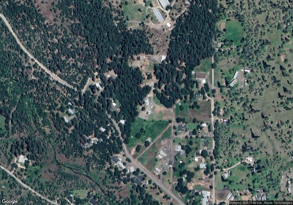
Map
Nearby Homes
- 218 Long Branch Rd
- 5845 Rhodes Ln
- 363 Kitty Dr
- 536 Rogue Air Dr
- 502 Buckhorn Ln
- 332 Rene Dr
- 461 Sawyer Rd
- 330 Penny Ln
- 78 Maple Dr
- 302 Penny Ln
- 343 Rene Dr
- 120 Linda Ln
- 0 Cabetowne Way Unit 220200666
- 176 Cindy Way
- 192 Cindy Way
- 7422 Rogue River Dr
- 20455 Highway 62
- 0 Cedar St
- 20055 Highway 62 Unit 15
- 20055 Highway 62 Unit 1
- 260 Long Branch Rd
- 550 Mason Way
- 550 Mason Rd
- 250 Long Branch Rd
- 250 Longbranch Rd
- 320 Longbranch Rd
- 555 Mason Way
- 160 Mason Way
- 950 Long Branch Rd
- 301 Daryl Ln
- 303 Long Branch Rd
- 303 Longbranch Rd
- 110 Mason Rd
- 960 Long Branch Rd
- 950 Longbranch Rd
- 218 Long Branch Rd Unit D
- 275 Long Branch Rd
- 220 Daryl Ln
- 401 Long Branch Rd
- 140 Daryl Ln
Your Personal Tour Guide
Ask me questions while you tour the home.