2600 Harmony Cir Brookfield, WI 53045
Estimated Value: $476,000 - $584,000
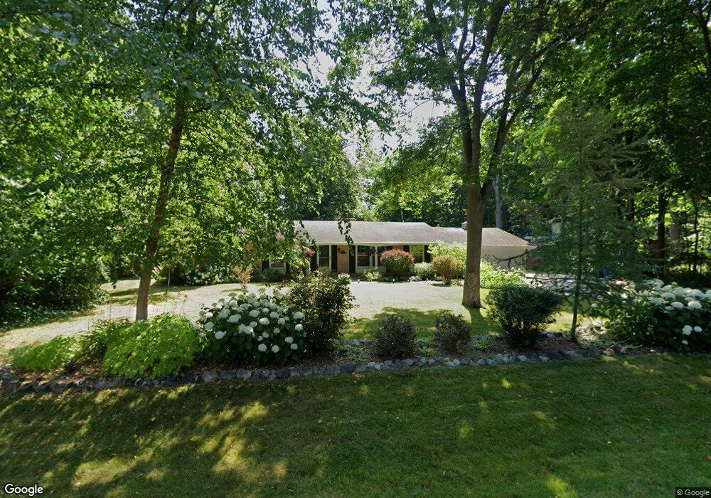
About This Home
This home is located at 2600 Harmony Cir, Brookfield, WI 53045 and is currently estimated at $523,487. 2600 Harmony Cir is a home located in Waukesha County with nearby schools including Brookfield Elementary School, Wisconsin Hills Middle School, and Brookfield Central High School.
Ownership History
We collect this data history from publicly available records. To have your information removed, we recommend requesting removal directly through your county’s website.
Purchase Details
Purchase Details
Purchase Details
Home Financials for this Owner
Home Financials are based on the most recent Mortgage that was taken out on this home.Purchase Details
Home Values in the Area
Average Home Value in this Area
Purchase History
We collect this data history from publicly available records. To have your information removed, we recommend requesting removal directly through your county’s website.
| Date | Buyer | Sale Price | Title Company |
|---|---|---|---|
| $303,200 | Prism Title | ||
| -- | None Available | ||
| $238,000 | None Available | ||
| -- | -- |
Mortgage History
We collect this data history from publicly available records. To have your information removed, we recommend requesting removal directly through your county’s website.
| Date | Status | Borrower | Loan Amount |
|---|---|---|---|
| Closed | $190,400 |
Tax History
We collect this data history from publicly available records. To have your information removed, we recommend requesting removal directly through your county’s website.
| Year | Tax Paid | Tax Assessment Tax Assessment Total Assessment is a certain percentage of the fair market value that is determined by local assessors to be the total taxable value of land and additions on the property. | Land | Improvement |
|---|---|---|---|---|
| 2025 | $4,260 | $423,600 | $125,100 | $298,500 |
| 2024 | $3,871 | $364,100 | $92,600 | $271,500 |
| 2023 | $3,746 | $364,100 | $92,600 | $271,500 |
| 2022 | $4,037 | $364,100 | $92,600 | $271,500 |
| 2021 | $4,123 | $302,900 | $77,200 | $225,700 |
| 2020 | $4,338 | $302,900 | $77,200 | $225,700 |
| 2019 | $4,268 | $302,900 | $77,200 | $225,700 |
| 2018 | $4,080 | $277,800 | $73,500 | $204,300 |
| 2017 | $4,002 | $277,800 | $73,500 | $204,300 |
| 2016 | $3,575 | $247,200 | $73,500 | $173,700 |
| 2015 | $3,573 | $247,200 | $73,500 | $173,700 |
| 2014 | $3,689 | $247,200 | $73,500 | $173,700 |
| 2013 | $3,689 | $232,000 | $69,300 | $162,700 |
Map
- 21660 Mayrose Blvd
- 21700 Ann Rita Dr
- 21565 Ann Rita Dr
- 21300 Astolat Dr
- 21065 Bradford Ln
- 2355 Guinevere Dr
- 20750 Lincolnshire Ct
- 2820 Norman Dr
- 2840 Norman Dr
- 21975 W North Ave
- W221N3075 Greenwood Rd
- 2270 Vincent Dr
- W224N2618 Ridgewood Ln
- N24W22526 Beechwood Ln
- Lt118 Berwick Ct
- Lt120 Berwick Ct
- Lt116 Berwick Ct
- W226N3045 Duplainville Rd
- 21180 Mary Lynn Dr
- N18W22670 Watertown Rd Unit 303
- 2620 Harmony Cir
- 2605 Almesbury Ave
- 21630 Gaywood Dr
- 2625 Almesbury Ave
- 2605 Harmony Cir
- 2640 Harmony Cir
- 21665 Mayrose Blvd
- 2565 Almesbury Ave
- 21625 Gaywood Dr
- 2645 Almesbury Ave
- 21705 Mayrose Blvd
- 21670 Gaywood Dr
- 2545 Almesbury Ave
- 2620 Almesbury Ave
- 21665 Gaywood Dr
- 21425 Talbots Ln
- 2640 Almesbury Ave
- 2665 Almesbury Ave
- 2580 Gaywood Ct
- 2525 Almesbury Ave
Ask me questions while you tour the home.