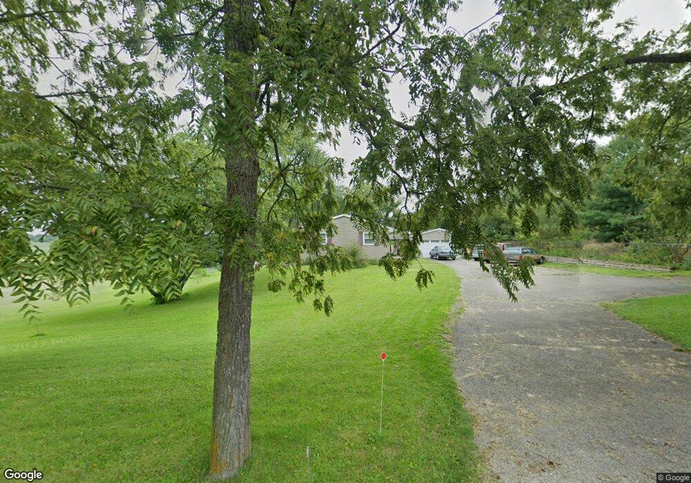
2600 Ridge Rd Springfield, OH 45502
Estimated Value: $245,000 - $344,000
3
Beds
2
Baths
1,520
Sq Ft
$195/Sq Ft
Est. Value
About This Home
This home is located at 2600 Ridge Rd, Springfield, OH 45502 and is currently estimated at $296,621, approximately $195 per square foot. 2600 Ridge Rd is a home located in Clark County with nearby schools including Possum Elementary School, Shawnee Middle School/High School, and Twin Oaks Sda Elementary School.
Ownership History
Date
Name
Owned For
Owner Type
Purchase Details
Closed on
Dec 5, 2016
Sold by
Mtglq Investors Lp
Bought by
York Richard W and York Barbara Carol
Current Estimated Value
Purchase Details
Closed on
Sep 14, 2016
Sold by
Seelig Timothy N and Seelig Stacey M
Bought by
Mtglq Investors Lp
Purchase Details
Closed on
Apr 2, 2002
Sold by
Seelig Robert A and Seelig Dorothy J
Bought by
Seelig Timothy N and Seelig Stacey M
Purchase Details
Closed on
Feb 20, 1986
Create a Home Valuation Report for This Property
The Home Valuation Report is an in-depth analysis detailing your home's value as well as a comparison with similar homes in the area
Purchase History
We collect this data history from publicly available records. To have your information removed, we recommend requesting removal directly through your county’s website.
| Date | Buyer | Sale Price | Title Company |
|---|---|---|---|
| York Richard W | $92,500 | Servicelink Llc | |
| Mtglq Investors Lp | $94,000 | None Available | |
| Seelig Timothy N | -- | -- | |
| -- | $22,500 | -- |
Source: Public Records
Tax History
| Year | Tax Paid | Tax Assessment Tax Assessment Total Assessment is a certain percentage of the fair market value that is determined by local assessors to be the total taxable value of land and additions on the property. | Land | Improvement |
|---|---|---|---|---|
| 2025 | $2,862 | $81,330 | $16,980 | $64,350 |
| 2024 | $2,818 | $66,800 | $12,290 | $54,510 |
| 2023 | $2,818 | $66,800 | $12,290 | $54,510 |
| 2022 | $2,816 | $66,800 | $12,290 | $54,510 |
| 2021 | $2,402 | $53,070 | $9,530 | $43,540 |
| 2020 | $2,422 | $53,070 | $9,530 | $43,540 |
| 2019 | $2,460 | $53,070 | $9,530 | $43,540 |
| 2018 | $2,390 | $51,220 | $8,660 | $42,560 |
| 2017 | $2,753 | $47,741 | $8,663 | $39,078 |
| 2016 | $2,541 | $47,741 | $8,663 | $39,078 |
| 2015 | $2,560 | $46,498 | $8,663 | $37,835 |
| 2014 | $2,567 | $46,498 | $8,663 | $37,835 |
| 2013 | $2,239 | $46,498 | $8,663 | $37,835 |
Source: Public Records
Map
Nearby Homes
- 2164 Ridge Rd
- 5143 E Pitchin Rd
- 5426 Fletcher Chapel Rd
- 4380 N River Rd
- 1405 Saybrook Ln
- 4400 Limerick Rd
- 2224 Cheviot Hills Dr
- 2105 Cheviot Hills Dr
- 4766 Limerick Rd
- 5100 N River Rd
- 410 S Landon Ln
- 407 S Landon Ln
- 405 S Landon Ln
- 4301 Altman Ave
- 402 W Spielberg Cir
- 4105 Chakeres Ave
- 4017 Chakeres Ave
- 4027 Chakeres Ave
- 4016 Chakeres Ave
- 631 Kramer Rd
Your Personal Tour Guide
Ask me questions while you tour the home.