2601 Data Vault Rd Swansea, MA 02777
Northeast Swansea NeighborhoodEstimated Value: $721,000 - $829,000
About This Home
This home is located at 2601 Data Vault Rd, Swansea, MA 02777 and is currently estimated at $761,738, approximately $386 per square foot. 2601 Data Vault Rd is a home located in Bristol County with nearby schools including Joseph Case High School, SCEC Life Academy, and Swansea Wood School.
Ownership History
We collect this data history from publicly available records. To have your information removed, we recommend requesting removal directly through your county’s website.
Purchase Details
Home Financials for this Owner
Home Financials are based on the most recent Mortgage that was taken out on this home.Purchase Details
Home Values in the Area
Average Home Value in this Area
Purchase History
We collect this data history from publicly available records. To have your information removed, we recommend requesting removal directly through your county’s website.
| Date | Buyer | Sale Price | Title Company |
|---|---|---|---|
| $362,500 | -- | ||
| -- | -- |
Mortgage History
We collect this data history from publicly available records. To have your information removed, we recommend requesting removal directly through your county’s website.
| Date | Status | Borrower | Loan Amount |
|---|---|---|---|
| Open | $280,000 | ||
| Previous Owner | $168,500 |
Tax History
We collect this data history from publicly available records. To have your information removed, we recommend requesting removal directly through your county’s website.
| Year | Tax Paid | Tax Assessment Tax Assessment Total Assessment is a certain percentage of the fair market value that is determined by local assessors to be the total taxable value of land and additions on the property. | Land | Improvement |
|---|---|---|---|---|
| 2025 | $7,963 | $668,000 | $254,000 | $414,000 |
| 2024 | $7,925 | $661,000 | $254,000 | $407,000 |
| 2023 | $7,267 | $553,500 | $206,500 | $347,000 |
| 2022 | $7,196 | $500,100 | $194,800 | $305,300 |
| 2021 | $6,804 | $435,300 | $194,800 | $240,500 |
| 2020 | $6,573 | $421,900 | $194,800 | $227,100 |
| 2019 | $6,277 | $404,700 | $182,200 | $222,500 |
| 2018 | $6,158 | $403,000 | $180,500 | $222,500 |
| 2017 | $5,475 | $412,300 | $180,500 | $231,800 |
| 2016 | $5,627 | $416,200 | $166,200 | $250,000 |
| 2015 | $5,289 | $402,800 | $166,200 | $236,600 |
| 2014 | $5,112 | $398,100 | $166,200 | $231,900 |
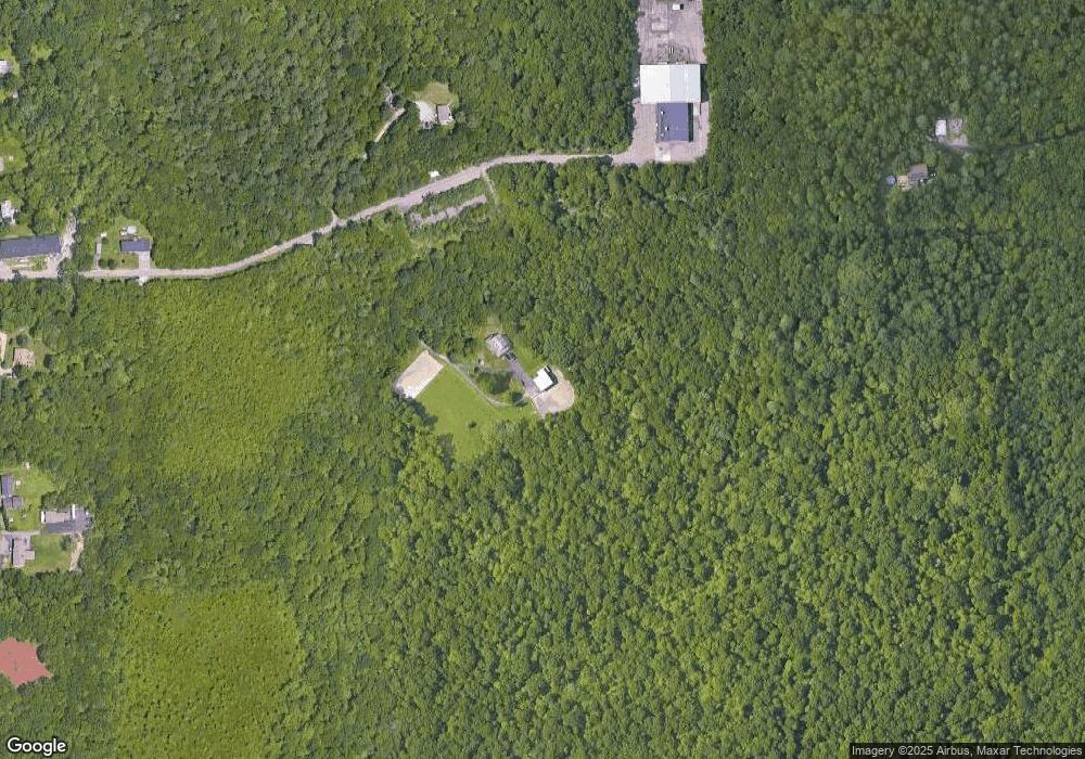
Map
- 3210 Millers Ln
- 1241 Sharps Lot Rd
- 2800 Anderson Dr
- 3085 Hunters Hill Dr
- 3080 Club House Dr
- 193 Tess Abigail Ln
- 3057 Clubhouse Dr Unit Model
- 297 Elm St
- R65 Clubhouse Dr Unit 65
- 74R Club House Dr Unit 74R
- R42 Club House Dr Unit R42
- R64 Clubhouse Dr Unit 64
- 76R Club House Dr Unit 76R
- R66 Club House Dr Unit R66
- 202 Baker Rd
- 5 Nottingham Cir
- 1206 Old North St
- 259 Lynch Ave
- 224 Denham Ave
- 1067 Bark St
- 0 Data Vault Rd Unit 1 71053898
- 1340 Data Vault Rd
- 1300 Data Vault Rd
- 0 Hilton Ln
- 00 Hilton Ln
- 00 Hilton Ln
- 3425 Sharps Lot Rd
- 1319 Sharps Lot Rd
- 1329 Sharps Lot Rd
- 3423 Sharps Lot Rd
- 3423 Sharps Lot Rd Unit 1
- 3397 Sharps Lot Rd
- 1370 Sharps Lot Rd
- 1374 Sharps Lot Rd
- 11 Murray Place
- 2 Murray Place
- 1338 Sharps Lot Rd
- 3349 Sharps Lot Rd
- 1378 Sharps Lot Rd
- 1320 Sharps Lot Rd
Ask me questions while you tour the home.