2601 Data Vault Rd Swansea, MA 02777
Northeast Swansea NeighborhoodEstimated Value: $715,000 - $835,000
3
Beds
2
Baths
1,971
Sq Ft
$385/Sq Ft
Est. Value
About This Home
This home is located at 2601 Data Vault Rd, Swansea, MA 02777 and is currently estimated at $758,417, approximately $384 per square foot. 2601 Data Vault Rd is a home located in Bristol County with nearby schools including Joseph Case High School, SCEC Life Academy, and Swansea Wood School.
Ownership History
Date
Name
Owned For
Owner Type
Purchase Details
Closed on
Dec 22, 2008
Sold by
Abrams Sandra C and Quintal Sandra C
Bought by
Correia Katherine and Correia Michael
Current Estimated Value
Home Financials for this Owner
Home Financials are based on the most recent Mortgage that was taken out on this home.
Original Mortgage
$280,000
Outstanding Balance
$186,271
Interest Rate
6.27%
Mortgage Type
Purchase Money Mortgage
Estimated Equity
$572,146
Purchase Details
Closed on
May 20, 2003
Sold by
Abrams Richard
Bought by
Abrams Sandra and Quintal Sandra
Create a Home Valuation Report for This Property
The Home Valuation Report is an in-depth analysis detailing your home's value as well as a comparison with similar homes in the area
Home Values in the Area
Average Home Value in this Area
Purchase History
| Date | Buyer | Sale Price | Title Company |
|---|---|---|---|
| Correia Katherine | $362,500 | -- | |
| Abrams Sandra | -- | -- |
Source: Public Records
Mortgage History
| Date | Status | Borrower | Loan Amount |
|---|---|---|---|
| Open | Correia Katherine | $280,000 | |
| Previous Owner | Abrams Sandra | $168,500 |
Source: Public Records
Tax History
| Year | Tax Paid | Tax Assessment Tax Assessment Total Assessment is a certain percentage of the fair market value that is determined by local assessors to be the total taxable value of land and additions on the property. | Land | Improvement |
|---|---|---|---|---|
| 2025 | $7,963 | $668,000 | $254,000 | $414,000 |
| 2024 | $7,925 | $661,000 | $254,000 | $407,000 |
| 2023 | $7,267 | $553,500 | $206,500 | $347,000 |
| 2022 | $7,196 | $500,100 | $194,800 | $305,300 |
| 2021 | $6,804 | $435,300 | $194,800 | $240,500 |
| 2020 | $6,573 | $421,900 | $194,800 | $227,100 |
| 2019 | $6,277 | $404,700 | $182,200 | $222,500 |
| 2018 | $6,158 | $403,000 | $180,500 | $222,500 |
| 2017 | $5,475 | $412,300 | $180,500 | $231,800 |
| 2016 | $5,627 | $416,200 | $166,200 | $250,000 |
| 2015 | $5,289 | $402,800 | $166,200 | $236,600 |
| 2014 | $5,112 | $398,100 | $166,200 | $231,900 |
Source: Public Records
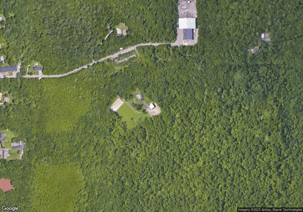
Map
Nearby Homes
- 1194 Sharps Lot Rd
- 3057 Clubhouse Dr Unit Model
- R65 Clubhouse Dr Unit 65
- 74R Club House Dr Unit 74R
- 73H Club House Dr Unit Lot 73H
- RR36 Club House Dr Unit Lot RR36
- RR34 Club House Dr Unit RR34
- R42 Club House Dr Unit R42
- R64 Clubhouse Dr Unit 64
- 76R Club House Dr Unit 76R
- R66 Club House Dr Unit R66
- 65 Marvel St
- 202 Baker Rd
- 5 Nottingham Cir
- 989 Elm St
- 258 Folsom Ave
- 1067 Bark St
- 18 Duke St
- 2625 Lewis St
- 3200 County St Unit 11
- 0 Data Vault Rd Unit 1 71053898
- 1340 Data Vault Rd
- 1300 Data Vault Rd
- 3210 Millers Ln
- 0 Hilton Ln
- 00 Hilton Ln
- 00 Hilton Ln
- 3425 Sharps Lot Rd
- 1319 Sharps Lot Rd
- 1329 Sharps Lot Rd
- 3423 Sharps Lot Rd Unit 1
- 3397 Sharps Lot Rd
- 1370 Sharps Lot Rd
- 1374 Sharps Lot Rd
- 11 Murray Place
- 2 Murray Place
- 1338 Sharps Lot Rd
- 3349 Sharps Lot Rd
- 1378 Sharps Lot Rd
- 1320 Sharps Lot Rd
Your Personal Tour Guide
Ask me questions while you tour the home.