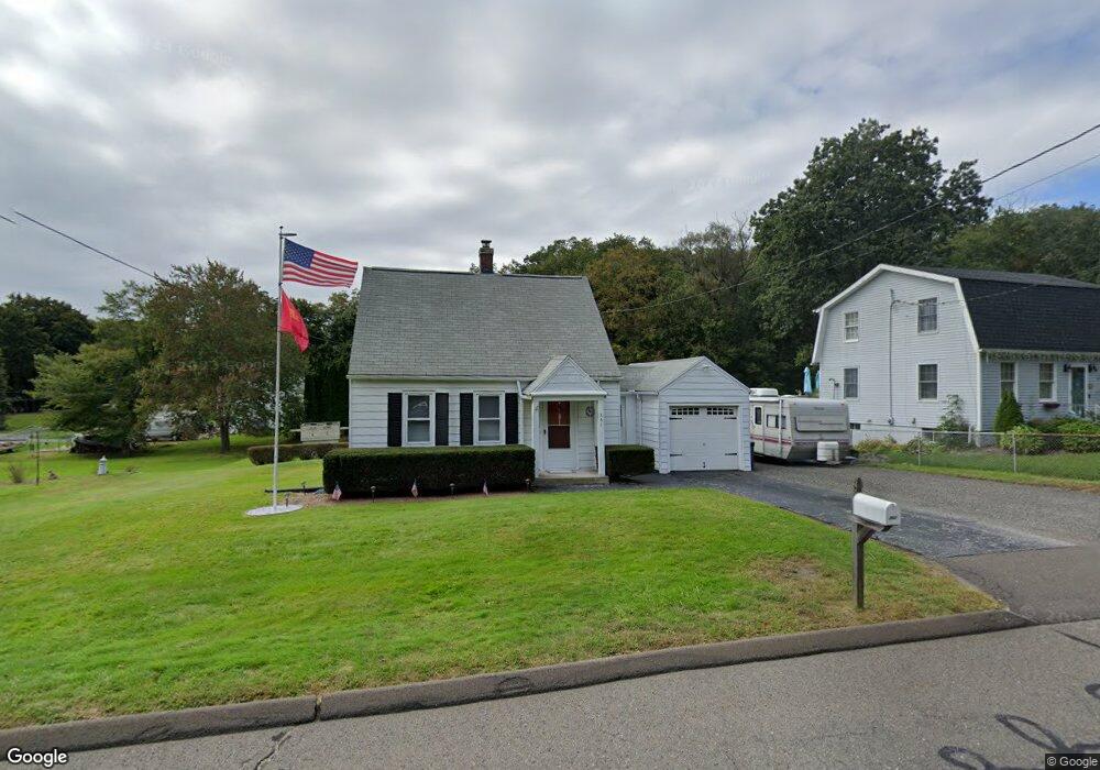
261 Porter Ave Middlebury, CT 06762
Estimated Value: $325,305 - $371,000
2
Beds
2
Baths
950
Sq Ft
$372/Sq Ft
Est. Value
About This Home
This home is located at 261 Porter Ave, Middlebury, CT 06762 and is currently estimated at $353,326, approximately $371 per square foot. 261 Porter Ave is a home located in New Haven County with nearby schools including Middlebury Elementary School, Memorial Middle School, and Pomperaug Regional High School.
Ownership History
Date
Name
Owned For
Owner Type
Purchase Details
Closed on
Apr 14, 2021
Sold by
Dawes Jennie
Bought by
Dawes Kevin and Cipriano James V
Current Estimated Value
Purchase Details
Closed on
Jul 29, 2002
Sold by
Szpak Mary
Bought by
Dawes Keoin and Foy Jennie
Home Financials for this Owner
Home Financials are based on the most recent Mortgage that was taken out on this home.
Original Mortgage
$153,750
Interest Rate
6.73%
Create a Home Valuation Report for This Property
The Home Valuation Report is an in-depth analysis detailing your home's value as well as a comparison with similar homes in the area
Home Values in the Area
Average Home Value in this Area
Purchase History
| Date | Buyer | Sale Price | Title Company |
|---|---|---|---|
| Dawes Kevin | -- | None Available | |
| Dawes Kevin | -- | None Available | |
| Dawes Keoin | $155,000 | -- | |
| Dawes Keoin | $155,000 | -- |
Source: Public Records
Mortgage History
| Date | Status | Borrower | Loan Amount |
|---|---|---|---|
| Previous Owner | Dawes Keoin | $70,000 | |
| Previous Owner | Dawes Keoin | $153,750 |
Source: Public Records
Tax History
| Year | Tax Paid | Tax Assessment Tax Assessment Total Assessment is a certain percentage of the fair market value that is determined by local assessors to be the total taxable value of land and additions on the property. | Land | Improvement |
|---|---|---|---|---|
| 2025 | $4,676 | $143,800 | $62,200 | $81,600 |
| 2024 | $4,688 | $143,800 | $62,200 | $81,600 |
| 2023 | $4,639 | $143,800 | $62,200 | $81,600 |
| 2022 | $4,495 | $143,800 | $62,200 | $81,600 |
| 2021 | $4,180 | $120,000 | $71,100 | $48,900 |
| 2020 | $4,212 | $120,000 | $71,100 | $48,900 |
| 2019 | $4,008 | $120,000 | $71,100 | $48,900 |
| 2018 | $3,901 | $120,000 | $71,100 | $48,900 |
| 2017 | $3,779 | $120,000 | $71,100 | $48,900 |
| 2016 | $4,087 | $131,800 | $83,600 | $48,200 |
| 2015 | $3,970 | $131,800 | $83,600 | $48,200 |
| 2014 | $3,867 | $131,800 | $83,600 | $48,200 |
Source: Public Records
Map
Nearby Homes
- 314 Porter Ave
- 3 Pine Ridge Unit 23
- 35 Nutmeg Rd Unit D1
- 0 Ferndale Ave
- 18 Freedom Rd
- 10 Old Waterbury Rd
- 79 Joshua Town Rd
- Lot 3 Southwest Rd
- 174 Southwest Rd
- 152 Glenwood Ave
- 38 E Ridge Dr
- 0 Mason Ave
- 61 Sandy Hill Rd
- 90 Larchmont Ave
- 72 Carriage Dr
- 110 Wooster Ave
- 117 Crest Rd
- 223 Carriage Dr
- 57 Mistywood Ln
- 31 Parkwood Ave
- 253 Porter Ave
- 271 Porter Ave
- 249 Porter Ave
- 273 Porter Ave
- 243 Porter Ave
- 281 Porter Ave
- 272 Porter Ave
- 289 Porter Ave
- 260 Porter Ave
- 235 Porter Ave
- 279 Porter Ave
- 250 Porter Ave
- 275 Porter Ave
- 284 Porter Ave
- 277 Porter Ave
- 293 Porter Ave
- 271 Steinmann Ave
- 236 Porter Ave
- 294 Porter Ave
- 225 Porter Ave
Your Personal Tour Guide
Ask me questions while you tour the home.