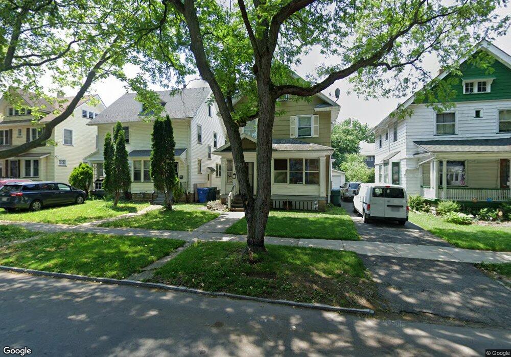
261 Post Ave Rochester, NY 14619
19th Ward NeighborhoodEstimated Value: $150,000 - $189,000
About This Home
This home is located at 261 Post Ave, Rochester, NY 14619 and is currently estimated at $164,832, approximately $90 per square foot. 261 Post Ave is a home located in Monroe County with nearby schools including John Walton Spencer School No. 16, George Mather Forbes School No. 4, and School 19 Dr Charles T Lunsford.
Ownership History
We collect this data history from publicly available records. To have your information removed, we recommend requesting removal directly through your county’s website.
Purchase Details
Purchase Details
Purchase Details
Purchase Details
Home Values in the Area
Average Home Value in this Area
Purchase History
We collect this data history from publicly available records. To have your information removed, we recommend requesting removal directly through your county’s website.
| Date | Buyer | Sale Price | Title Company |
|---|---|---|---|
| $35,000 | John F Daurizio | ||
| $26,000 | -- | ||
| $52,140 | -- | ||
| $48,000 | Edward Lynd |
Tax History
We collect this data history from publicly available records. To have your information removed, we recommend requesting removal directly through your county’s website.
| Year | Tax Paid | Tax Assessment Tax Assessment Total Assessment is a certain percentage of the fair market value that is determined by local assessors to be the total taxable value of land and additions on the property. | Land | Improvement |
|---|---|---|---|---|
| 2025 | $1,385 | $126,400 | $9,600 | $116,800 |
| 2024 | $1,385 | $126,400 | $9,600 | $116,800 |
| 2023 | $1,058 | $69,400 | $7,400 | $62,000 |
| 2022 | $1,034 | $69,400 | $7,400 | $62,000 |
| 2021 | $1,040 | $69,400 | $7,400 | $62,000 |
| 2020 | $1,060 | $69,400 | $7,400 | $62,000 |
| 2019 | $1,179 | $67,000 | $7,400 | $59,600 |
| 2018 | $2,017 | $67,000 | $7,400 | $59,600 |
| 2017 | $0 | $67,000 | $7,400 | $59,600 |
| 2016 | $1,179 | $67,000 | $7,400 | $59,600 |
| 2015 | $1,897 | $64,900 | $7,400 | $57,500 |
| 2014 | $1,897 | $64,900 | $7,400 | $57,500 |
Map
- 515 Arnett Blvd
- 100-102 Ravenwood Ave
- 431 Post Ave
- 381 Arnett Blvd Unit 2
- 80 Post Ave
- 167 Salina St
- 75 Sherwood Ave Unit 2
- 58 Post Ave
- 51 Sherwood Ave Unit 55
- 123 Trafalgar St
- 316 Ravenwood Ave
- 145 Devonshire Ct
- 179 Warwick Ave
- 174 Gardiner Ave
- 692 Chili Ave
- 62 Normandy Ave
- 243 Garfield St
- 129 Hobart St Unit 131
- 69 Enterprise St
- 397 Sawyer St
Ask me questions while you tour the home.