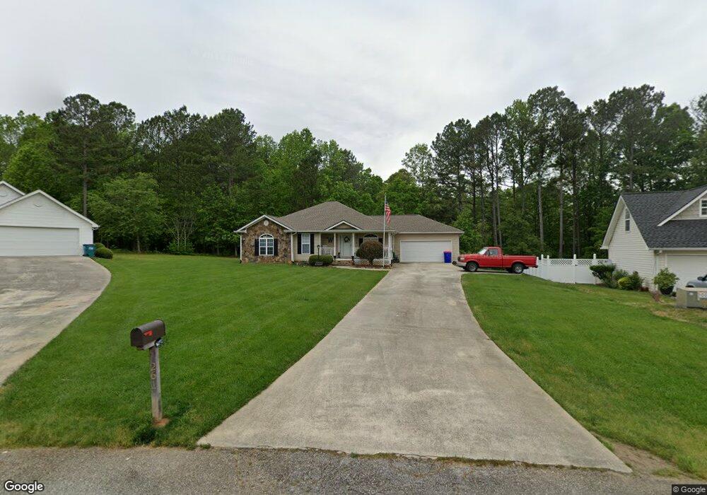
261 Stonebrook Dr Demorest, GA 30535
Estimated Value: $325,000 - $361,000
3
Beds
2
Baths
1,838
Sq Ft
$187/Sq Ft
Est. Value
About This Home
This home is located at 261 Stonebrook Dr, Demorest, GA 30535 and is currently estimated at $343,820, approximately $187 per square foot. 261 Stonebrook Dr is a home located in Habersham County with nearby schools including Demorest Elementary School, Wilbanks Middle School, and Habersham Success Academy.
Ownership History
Date
Name
Owned For
Owner Type
Purchase Details
Closed on
Mar 28, 2019
Sold by
Mcelreath Wanda
Bought by
Werry Ben
Current Estimated Value
Home Financials for this Owner
Home Financials are based on the most recent Mortgage that was taken out on this home.
Original Mortgage
$178,703
Outstanding Balance
$157,112
Interest Rate
4.3%
Mortgage Type
VA
Estimated Equity
$186,708
Purchase Details
Closed on
Apr 30, 2014
Sold by
Mcelreath Kenneth
Bought by
Mcelreath Wanda
Purchase Details
Closed on
May 1, 2006
Sold by
Not Provided
Bought by
Mcelreath Wanda and Mcelreath Kenneth
Purchase Details
Closed on
Dec 6, 2005
Sold by
Countrywide Home Loans Inc
Bought by
Federal National Mortgage Association
Create a Home Valuation Report for This Property
The Home Valuation Report is an in-depth analysis detailing your home's value as well as a comparison with similar homes in the area
Home Values in the Area
Average Home Value in this Area
Purchase History
| Date | Buyer | Sale Price | Title Company |
|---|---|---|---|
| Werry Ben | $182,000 | -- | |
| Mcelreath Wanda | -- | -- | |
| Mcelreath Wanda | -- | -- | |
| Mcelreath Wanda | -- | -- | |
| Federal National Mortgage Association | -- | -- | |
| Countrywide Home Loans Inc | -- | -- |
Source: Public Records
Mortgage History
| Date | Status | Borrower | Loan Amount |
|---|---|---|---|
| Open | Werry Ben | $178,703 |
Source: Public Records
Tax History
| Year | Tax Paid | Tax Assessment Tax Assessment Total Assessment is a certain percentage of the fair market value that is determined by local assessors to be the total taxable value of land and additions on the property. | Land | Improvement |
|---|---|---|---|---|
| 2025 | $3,313 | $137,156 | $10,000 | $127,156 |
| 2024 | $3,551 | $136,820 | $10,000 | $126,820 |
| 2023 | $2,869 | $114,744 | $10,000 | $104,744 |
| 2022 | $2,601 | $99,764 | $10,000 | $89,764 |
| 2021 | $2,110 | $81,284 | $10,000 | $71,284 |
| 2020 | $1,865 | $69,348 | $8,000 | $61,348 |
| 2019 | $1,505 | $69,348 | $8,000 | $61,348 |
| 2018 | $1,579 | $68,824 | $8,000 | $60,824 |
| 2017 | $1,429 | $59,392 | $4,000 | $55,392 |
| 2016 | $1,381 | $148,480 | $4,000 | $55,392 |
| 2015 | $1,479 | $148,480 | $4,000 | $55,392 |
| 2014 | $560 | $144,270 | $4,000 | $53,708 |
| 2013 | -- | $57,708 | $4,000 | $53,708 |
Source: Public Records
Map
Nearby Homes
- 180 Springbrook Dr
- 114 Springbrook Dr
- 152 Eastside Dr
- 451 Spiral Hills Dr
- 545 Wauka Dr
- 646 Bald Ridge Cir
- 642 Bald Ridge Cir
- 660 Bald Ridge Cir
- 668 Bald Ridge Cir
- 834 Hancock Rd
- 140 Kim Loop
- 3750 Old Cleveland Rd
- 150 Tennessee St
- 314 Holley St
- 274 & 278 N Hazel Ave
- 4444 State Highway 365
- 2778 J Warren Rd
- 241 Huntington Manor Ct
- 623 Maine St
- 716 Westcrest Ln
- 267 Stonebrook Dr
- 257 Stonebrook Dr
- 0 Cap Fry Rd Unit Tract 3 8315880
- 0 Cap Fry Rd Unit 7375824
- 0 Cap Fry Rd Unit Tract 3 8743392
- 118 Rockwind Way
- 268 Stonebrook Dr
- 529 Cap Fry Rd
- 500 Cap Fry Dr
- 241 Stonebrook Dr
- 110 Rockwind Way
- 276 Stonebrook Dr
- 117 Stonebrook Dr
- 117 Stonebrook Dr Unit 29
- 152 Rockwind Way
- 152 Rockwind Way Unit 12
- 129 Stonebrook Dr Unit 28
- 129 Stonebrook Dr
- 230 Stonebrook Dr
- 223 Stonebrook Dr
Your Personal Tour Guide
Ask me questions while you tour the home.