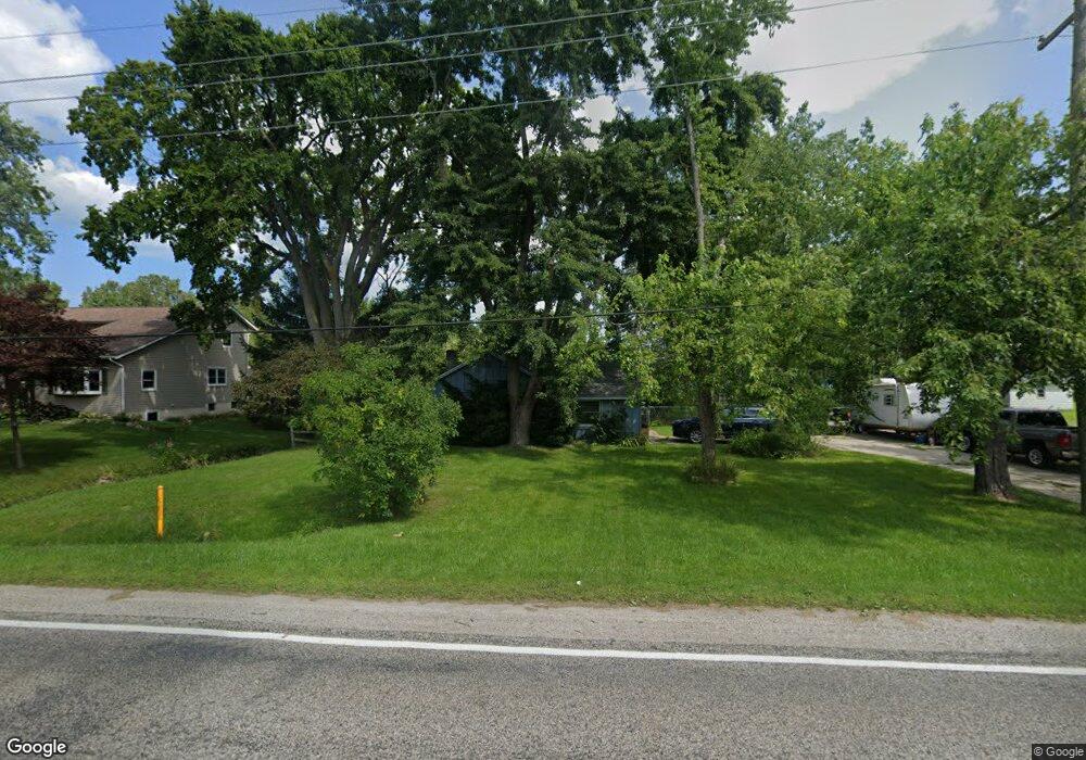
2614 Range Rd Port Huron, MI 48060
Estimated Value: $152,000 - $255,000
3
Beds
1
Bath
1,684
Sq Ft
$113/Sq Ft
Est. Value
About This Home
This home is located at 2614 Range Rd, Port Huron, MI 48060 and is currently estimated at $190,867, approximately $113 per square foot. 2614 Range Rd is a home located in St. Clair County with nearby schools including Indian Woods Elementary School, Central Middle School, and Port Huron High School.
Create a Home Valuation Report for This Property
The Home Valuation Report is an in-depth analysis detailing your home's value as well as a comparison with similar homes in the area
Home Values in the Area
Average Home Value in this Area
Tax History
| Year | Tax Paid | Tax Assessment Tax Assessment Total Assessment is a certain percentage of the fair market value that is determined by local assessors to be the total taxable value of land and additions on the property. | Land | Improvement |
|---|---|---|---|---|
| 2025 | $916 | $78,800 | $0 | $0 |
| 2024 | $888 | $79,100 | $0 | $0 |
| 2023 | $820 | $70,500 | $0 | $0 |
| 2022 | $1,515 | $65,800 | $0 | $0 |
| 2020 | $1,387 | $54,200 | $54,200 | $0 |
| 2019 | $1,361 | $49,900 | $0 | $0 |
| 2018 | $1,329 | $49,900 | $0 | $0 |
| 2017 | $1,300 | $48,300 | $0 | $0 |
| 2016 | $673 | $48,300 | $0 | $0 |
| 2015 | -- | $39,700 | $39,700 | $0 |
| 2014 | -- | $38,400 | $38,400 | $0 |
| 2013 | -- | $37,300 | $0 | $0 |
Source: Public Records
Map
Nearby Homes
- 0 Lapeer Rd Unit 50137357
- 4761 Lapeer Rd
- 2970 Range Rd
- 4602 Howard Rd
- 4525 W Water St
- 0 Wall Rd Unit 50185999
- 0000 Range Rd
- 2571 Herber Dr
- 00 Howard Rd
- 3115 Spruce Dr
- 0 Allen Rd Unit 20250008612
- 2189 Michigan Rd
- 2165 Michigan Rd
- 4234 Atkins Rd
- 3925 W Water St
- 4118 Griswold Rd
- 3318 Richards Dr
- 0000 W Water St
- 3075 Westcott Dr
- 3307 Fanone Dr
Your Personal Tour Guide
Ask me questions while you tour the home.