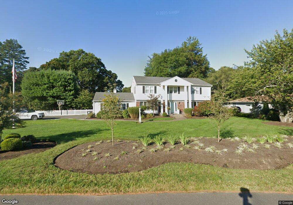
2628 Ramshorn Dr Manasquan, NJ 08736
Estimated Value: $1,117,000 - $1,280,000
4
Beds
3
Baths
2,884
Sq Ft
$416/Sq Ft
Est. Value
About This Home
This home is located at 2628 Ramshorn Dr, Manasquan, NJ 08736 and is currently estimated at $1,198,982, approximately $415 per square foot. 2628 Ramshorn Dr is a home located in Monmouth County with nearby schools including Wall High School, St Dominic School, and The Brookside School.
Ownership History
Date
Name
Owned For
Owner Type
Purchase Details
Closed on
Sep 3, 2004
Sold by
Sanders Matthew
Bought by
Alessio Peter and Alesso Courtney
Current Estimated Value
Home Financials for this Owner
Home Financials are based on the most recent Mortgage that was taken out on this home.
Original Mortgage
$400,000
Outstanding Balance
$200,018
Interest Rate
6.02%
Mortgage Type
Purchase Money Mortgage
Estimated Equity
$998,964
Create a Home Valuation Report for This Property
The Home Valuation Report is an in-depth analysis detailing your home's value as well as a comparison with similar homes in the area
Home Values in the Area
Average Home Value in this Area
Purchase History
| Date | Buyer | Sale Price | Title Company |
|---|---|---|---|
| Alessio Peter | $755,000 | -- |
Source: Public Records
Mortgage History
| Date | Status | Borrower | Loan Amount |
|---|---|---|---|
| Open | Alessio Peter | $400,000 |
Source: Public Records
Tax History
| Year | Tax Paid | Tax Assessment Tax Assessment Total Assessment is a certain percentage of the fair market value that is determined by local assessors to be the total taxable value of land and additions on the property. | Land | Improvement |
|---|---|---|---|---|
| 2025 | $11,662 | $552,700 | $281,800 | $270,900 |
| 2024 | $11,334 | $552,700 | $281,800 | $270,900 |
| 2023 | $11,334 | $553,700 | $281,800 | $271,900 |
| 2022 | $11,057 | $553,700 | $281,800 | $271,900 |
| 2021 | $11,057 | $553,700 | $281,800 | $271,900 |
| 2020 | $10,925 | $553,700 | $281,800 | $271,900 |
| 2019 | $10,792 | $553,700 | $281,800 | $271,900 |
| 2018 | $10,697 | $553,700 | $281,800 | $271,900 |
| 2017 | $10,487 | $553,700 | $281,800 | $271,900 |
| 2016 | $11,641 | $553,700 | $281,800 | $271,900 |
| 2015 | $11,024 | $373,700 | $153,000 | $220,700 |
| 2014 | $10,489 | $363,700 | $161,800 | $201,900 |
Source: Public Records
Map
Nearby Homes
- 2639 River Rd
- 1105 Shore Dr
- 151 Riverside Dr N
- 654 Valley Rd
- 1503 Sawyer Ave
- 1000 Shore Dr
- 931 Birch Dr
- 21 N Tamarack Dr
- 1015 Forrest Rd
- 937 Birch Dr
- 924 Birch Dr
- 2530 Ramshorn Dr
- 3724 River Rd
- 617 Oceanview Rd
- 2526 Morningstar Rd
- 1544 Harvest Ln
- 917 Riverview Dr
- 31 Mulberry Ct Unit C
- 143 Beverly Blvd
- 178 Calvin Ct
Your Personal Tour Guide
Ask me questions while you tour the home.