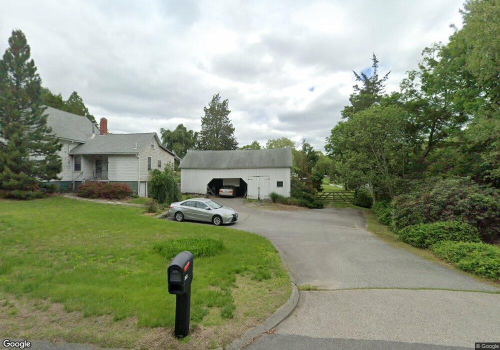
263 Route 165 Preston, CT 06365
Estimated Value: $396,657 - $495,000
3
Beds
2
Baths
1,636
Sq Ft
$274/Sq Ft
Est. Value
About This Home
This home is located at 263 Route 165, Preston, CT 06365 and is currently estimated at $448,552, approximately $274 per square foot. 263 Route 165 is a home located in New London County with nearby schools including St. Joseph School and St. Patrick Cathedral School.
Ownership History
Date
Name
Owned For
Owner Type
Purchase Details
Closed on
Nov 7, 2007
Sold by
Sebastian William N
Bought by
Bennett Alan F and Bennett Judy A
Current Estimated Value
Home Financials for this Owner
Home Financials are based on the most recent Mortgage that was taken out on this home.
Original Mortgage
$165,000
Interest Rate
6.47%
Mortgage Type
Purchase Money Mortgage
Create a Home Valuation Report for This Property
The Home Valuation Report is an in-depth analysis detailing your home's value as well as a comparison with similar homes in the area
Home Values in the Area
Average Home Value in this Area
Purchase History
| Date | Buyer | Sale Price | Title Company |
|---|---|---|---|
| Bennett Alan F | $315,000 | -- |
Source: Public Records
Mortgage History
| Date | Status | Borrower | Loan Amount |
|---|---|---|---|
| Closed | Bennett Alan F | $113,000 | |
| Closed | Bennett Alan F | $165,000 |
Source: Public Records
Tax History
| Year | Tax Paid | Tax Assessment Tax Assessment Total Assessment is a certain percentage of the fair market value that is determined by local assessors to be the total taxable value of land and additions on the property. | Land | Improvement |
|---|---|---|---|---|
| 2025 | $4,364 | $173,810 | $63,770 | $110,040 |
| 2024 | $4,062 | $173,810 | $63,770 | $110,040 |
| 2023 | $3,989 | $173,810 | $63,770 | $110,040 |
| 2022 | $3,634 | $130,360 | $58,660 | $71,700 |
| 2021 | $3,512 | $130,360 | $58,660 | $71,700 |
| 2020 | $3,319 | $123,390 | $51,690 | $71,700 |
| 2019 | $3,261 | $123,390 | $51,690 | $71,700 |
| 2018 | $3,212 | $123,390 | $51,690 | $71,700 |
| 2017 | $3,182 | $132,590 | $53,090 | $79,500 |
| 2016 | $3,149 | $132,590 | $53,090 | $79,500 |
| 2015 | $2,969 | $129,100 | $49,600 | $79,500 |
| 2014 | $2,987 | $129,100 | $49,600 | $79,500 |
Source: Public Records
Map
Nearby Homes
- 244 Route 164 Unit 1
- 57 NW Corner Rd
- 5 Wilderness Acres
- 317 Old Jewett City Rd
- 375 Old Jewett City Rd
- 1 Long Society Rd
- 42 Pierce Rd
- 55A Anna Farm Rd W
- 15 Mains Way
- 11 Wheeler Farm Rd
- 128 Smith Ave
- 9 Mains Way
- 168 Corning Rd
- 681 N Main St
- 381 Route 2
- 303 Central Ave
- 6 Lake of Isles Rd
- 4 Lake of Isles Rd
- 105 Stonington Rd
- 210 Bundy Hill Rd Unit LOT 44
Your Personal Tour Guide
Ask me questions while you tour the home.