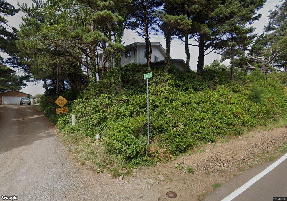
2635 Radar Rd Tillamook, OR 97141
Estimated Value: $735,000 - $814,000
3
Beds
2
Baths
1,778
Sq Ft
$440/Sq Ft
Est. Value
About This Home
This home is located at 2635 Radar Rd, Tillamook, OR 97141 and is currently estimated at $781,839, approximately $439 per square foot. 2635 Radar Rd is a home located in Tillamook County with nearby schools including Tillamook High School.
Ownership History
Date
Name
Owned For
Owner Type
Purchase Details
Closed on
Jun 27, 2023
Sold by
Gluzinski Joseph Mark
Bought by
Atkinson Bradley and Atkinson Rachel
Current Estimated Value
Home Financials for this Owner
Home Financials are based on the most recent Mortgage that was taken out on this home.
Original Mortgage
$596,250
Outstanding Balance
$575,786
Interest Rate
6.39%
Mortgage Type
New Conventional
Estimated Equity
$206,053
Create a Home Valuation Report for This Property
The Home Valuation Report is an in-depth analysis detailing your home's value as well as a comparison with similar homes in the area
Purchase History
We collect this data history from publicly available records. To have your information removed, we recommend requesting removal directly through your county’s website.
| Date | Buyer | Sale Price | Title Company |
|---|---|---|---|
| Atkinson Bradley | $795,000 | Ticor Title |
Source: Public Records
Mortgage History
We collect this data history from publicly available records. To have your information removed, we recommend requesting removal directly through your county’s website.
| Date | Status | Borrower | Loan Amount |
|---|---|---|---|
| Open | Atkinson Bradley | $596,250 |
Source: Public Records
Tax History
| Year | Tax Paid | Tax Assessment Tax Assessment Total Assessment is a certain percentage of the fair market value that is determined by local assessors to be the total taxable value of land and additions on the property. | Land | Improvement |
|---|---|---|---|---|
| 2025 | $4,259 | $382,910 | $190,760 | $192,150 |
| 2024 | $4,039 | $371,760 | $185,200 | $186,560 |
| 2023 | $4,008 | $360,940 | $179,810 | $181,130 |
| 2022 | $3,869 | $350,430 | $174,570 | $175,860 |
| 2021 | $3,754 | $340,230 | $169,490 | $170,740 |
| 2020 | $3,600 | $330,330 | $164,550 | $165,780 |
| 2019 | $3,559 | $320,710 | $159,760 | $160,950 |
| 2018 | $3,376 | $311,370 | $155,110 | $156,260 |
| 2017 | $3,281 | $302,310 | $150,590 | $151,720 |
| 2016 | $3,196 | $293,510 | $146,200 | $147,310 |
| 2015 | $3,105 | $284,970 | $141,940 | $143,030 |
| 2014 | $3,133 | $276,670 | $137,810 | $138,860 |
| 2013 | -- | $268,620 | $133,800 | $134,820 |
Source: Public Records
Map
Nearby Homes
- 2370 Cape Meares Loop
- 2430 Cape Meares Loop
- 0 Norwester Rd Unit 800 647374654
- Tax Lot 11801 Chinook Ave
- 1816 Maxwell Mountain Rd
- 0 Chinook Ave Unit TL11801 24464111
- 0 Ocean St Unit 688526158
- 0 Ocean St Unit 536235930
- 1582 Sunset Ave
- 0 Castle Dr Unit TL16500 748763023
- 17 Castle Dr
- TL 16500 Castle Dr
- 0 Pinewood Ln Unit 561093735
- 6 Pinewood W
- 900 Bearberry Ln
- 6095 Huckleberry Ln
- 0 Ridgewood Rd Unit 301 217160585
- 0 Ridgewood Rd Unit TL 303 295073756
- TL 303 Ridgewood Rd
- 301 Ridgewood Rd
Your Personal Tour Guide
Ask me questions while you tour the home.