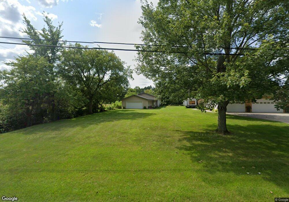
2635 Range Rd Kimball, MI 48074
Estimated Value: $111,532 - $258,000
Studio
--
Bath
--
Sq Ft
0.92
Acres Lot
About This Home
This home is located at 2635 Range Rd, Kimball, MI 48074 and is currently estimated at $170,133. 2635 Range Rd is a home located in St. Clair County with nearby schools including Indian Woods Elementary School, Central Middle School, and Port Huron High School.
Create a Home Valuation Report for This Property
The Home Valuation Report is an in-depth analysis detailing your home's value as well as a comparison with similar homes in the area
Home Values in the Area
Average Home Value in this Area
Tax History
| Year | Tax Paid | Tax Assessment Tax Assessment Total Assessment is a certain percentage of the fair market value that is determined by local assessors to be the total taxable value of land and additions on the property. | Land | Improvement |
|---|---|---|---|---|
| 2025 | $374 | $41,800 | $0 | $0 |
| 2024 | $363 | $42,300 | $0 | $0 |
| 2023 | $332 | $41,400 | $0 | $0 |
| 2022 | $572 | $37,900 | $0 | $0 |
| 2020 | $516 | $30,700 | $30,700 | $0 |
| 2019 | $756 | $26,700 | $0 | $0 |
| 2018 | $721 | $27,400 | $0 | $0 |
| 2017 | $542 | $28,900 | $0 | $0 |
| 2016 | $303 | $28,900 | $0 | $0 |
| 2015 | -- | $27,800 | $27,800 | $0 |
| 2014 | -- | $22,000 | $22,000 | $0 |
| 2013 | -- | $30,400 | $0 | $0 |
Source: Public Records
Map
Nearby Homes
- 0 Lapeer Rd Unit 50137357
- 2970 Range Rd
- 4602 Howard Rd
- 4911 Castlewood Dr
- 4837 Camelot Dr
- 0 Wall Rd Unit 50185999
- 00 Howard Rd
- 0000 Range Rd
- 2571 Herber Dr
- 3115 Spruce Dr
- 0 Allen Rd Unit 20250008612
- 4234 Atkins Rd
- 3925 W Water St
- 0000 W Water St
- 4118 Griswold Rd
- 0000 Atkins Atkins Rd
- 3075 Westcott Dr
- 1918 Harvey Rd
- 5614 Atkins Rd
- 0 Atkins Rd Unit LotWP001
Your Personal Tour Guide
Ask me questions while you tour the home.