264 Barker Ln McCall, ID 83638
Estimated Value: $2,487,000 - $2,590,326
5
Beds
7
Baths
7,443
Sq Ft
$341/Sq Ft
Est. Value
About This Home
This home is located at 264 Barker Ln, McCall, ID 83638 and is currently estimated at $2,538,663, approximately $341 per square foot. 264 Barker Ln is a home located in Valley County with nearby schools including Donnelly Elementary School and McCall-Donnelly High School.
Ownership History
Date
Name
Owned For
Owner Type
Purchase Details
Closed on
Feb 16, 2021
Sold by
Falsafi-Fotovatjah Family Trust and Fotovatjah Mehran
Bought by
Trapp Amy and Trapp Andrew
Current Estimated Value
Purchase Details
Closed on
Sep 18, 2012
Sold by
Waterstone Bank Ssb
Bought by
Phillips Brent and Phillips Pamela
Home Financials for this Owner
Home Financials are based on the most recent Mortgage that was taken out on this home.
Original Mortgage
$584,000
Interest Rate
2.87%
Mortgage Type
Adjustable Rate Mortgage/ARM
Purchase Details
Closed on
Aug 27, 2008
Sold by
Value Beau S and Value Carrie L
Bought by
Waterstone Bank Ssb and Wauwatosa Savings Bank
Create a Home Valuation Report for This Property
The Home Valuation Report is an in-depth analysis detailing your home's value as well as a comparison with similar homes in the area
Purchase History
| Date | Buyer | Sale Price | Title Company |
|---|---|---|---|
| Trapp Amy | -- | Alliance Title | |
| Phillips Brent | -- | Amerititle | |
| Waterstone Bank Ssb | -- | -- |
Source: Public Records
Mortgage History
| Date | Status | Borrower | Loan Amount |
|---|---|---|---|
| Previous Owner | Phillips Brent | $584,000 |
Source: Public Records
Tax History
| Year | Tax Paid | Tax Assessment Tax Assessment Total Assessment is a certain percentage of the fair market value that is determined by local assessors to be the total taxable value of land and additions on the property. | Land | Improvement |
|---|---|---|---|---|
| 2025 | $5,727 | $2,329,078 | $246,320 | $2,082,758 |
| 2023 | $5,727 | $2,587,662 | $317,673 | $2,269,989 |
| 2022 | $6,600 | $2,544,637 | $305,447 | $2,239,190 |
| 2021 | $8,310 | $2,072,623 | $184,898 | $1,887,725 |
| 2020 | $7,611 | $1,609,197 | $128,607 | $1,480,590 |
| 2019 | $7,303 | $1,442,966 | $127,798 | $1,315,168 |
| 2018 | $6,495 | $1,490,355 | $71,581 | $1,418,774 |
| 2017 | $7,019 | $1,157,659 | $76,487 | $1,081,172 |
| 2016 | $7,142 | $1,158,661 | $72,345 | $1,086,316 |
| 2015 | $6,114 | $942,832 | $0 | $0 |
| 2013 | -- | $785,034 | $0 | $0 |
Source: Public Records
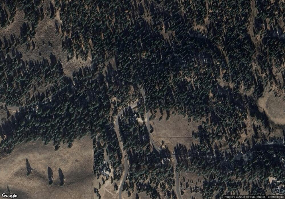
Map
Nearby Homes
- TBD Barker Loop
- TBD Gold Fork Rd (374 Acres)
- 408 Gold Fork Rd (250 Acres)
- Lot 11 Gold Fork Rd Unit 11
- TBD Gold Fork Rd
- 467 Gold Fork Rd
- Lot 24 Hideout Rd
- Lot 1 Hideout Rd
- Lot 3 Hideout Rd
- Lot 4 Hideout Rd
- Lot 5 Hideout Rd
- Lot 2 Hideout Rd
- Lot 12 Hideout Rd
- Lot 18 Hideout Rd
- Lot 6 Hideout Rd
- 12231 Finlandia Rd
- 0 Hwy 55 and Loomis Unit 98919647
- Lot 4 Block 1 Gold Fork Rd
- 16 & 18 Loomis Ln
- 30 Creekside Ct
- 265 Barker Ln
- 13034 Dr Leland
- 257 Barker Ln
- 13034 Leland Dr
- 255 Barker Ln
- 261 Braker Ln
- 261 Barker Ln
- 257/261 Barker Ln
- 13020 Leland Dr Unit 13
- 13020 Leland Dr
- 261 Barker Ln Unit 13
- 261 Barker Ln
- 13025 Leland Dr
- 13025 Leland Dr Unit 3
- 13025 Leland Dr
- TBD1 Barker Ln
- 269 Barker Ln
- 275 Barker Ln
- 13025 Leland Dr Unit 3
- 271 Barker Loop Unit 17
Your Personal Tour Guide
Ask me questions while you tour the home.