Estimated Value: $224,000 - $243,000
About This Home
This home is located at 265 Enterprise Path, Hiram, GA 30141 and is currently estimated at $231,165, approximately $164 per square foot. 265 Enterprise Path is a home located in Paulding County with nearby schools including Hiram Elementary School, P. B. Ritch Middle School, and Hiram High School.
Ownership History
We collect this data history from publicly available records. To have your information removed, we recommend requesting removal directly through your county’s website.
Purchase Details
Purchase Details
Home Financials for this Owner
Home Financials are based on the most recent Mortgage that was taken out on this home.Purchase Details
Purchase Details
Home Values in the Area
Average Home Value in this Area
Purchase History
We collect this data history from publicly available records. To have your information removed, we recommend requesting removal directly through your county’s website.
| Date | Buyer | Sale Price | Title Company |
|---|---|---|---|
| $95,000 | -- | ||
| $114,000 | -- | ||
| $106,400 | -- | ||
| $3,000 | -- |
Mortgage History
We collect this data history from publicly available records. To have your information removed, we recommend requesting removal directly through your county’s website.
| Date | Status | Borrower | Loan Amount |
|---|---|---|---|
| Previous Owner | $114,000 |
Tax History
We collect this data history from publicly available records. To have your information removed, we recommend requesting removal directly through your county’s website.
| Year | Tax Paid | Tax Assessment Tax Assessment Total Assessment is a certain percentage of the fair market value that is determined by local assessors to be the total taxable value of land and additions on the property. | Land | Improvement |
|---|---|---|---|---|
| 2025 | $2,586 | $103,960 | $12,000 | $91,960 |
| 2024 | $2,254 | $90,596 | $12,000 | $78,596 |
| 2023 | $991 | $92,808 | $12,000 | $80,808 |
| 2022 | $2,043 | $78,380 | $12,000 | $66,380 |
| 2021 | $1,674 | $57,612 | $6,000 | $51,612 |
| 2020 | $1,634 | $55,020 | $6,000 | $49,020 |
| 2019 | $1,567 | $52,024 | $6,000 | $46,024 |
| 2018 | $1,186 | $39,364 | $4,000 | $35,364 |
| 2017 | $1,020 | $33,400 | $4,000 | $29,400 |
| 2016 | $963 | $31,860 | $4,000 | $27,860 |
| 2015 | $934 | $32,192 | $4,000 | $28,192 |
| 2014 | $609 | $21,148 | $4,000 | $17,148 |
| 2013 | -- | $16,800 | $4,000 | $12,800 |
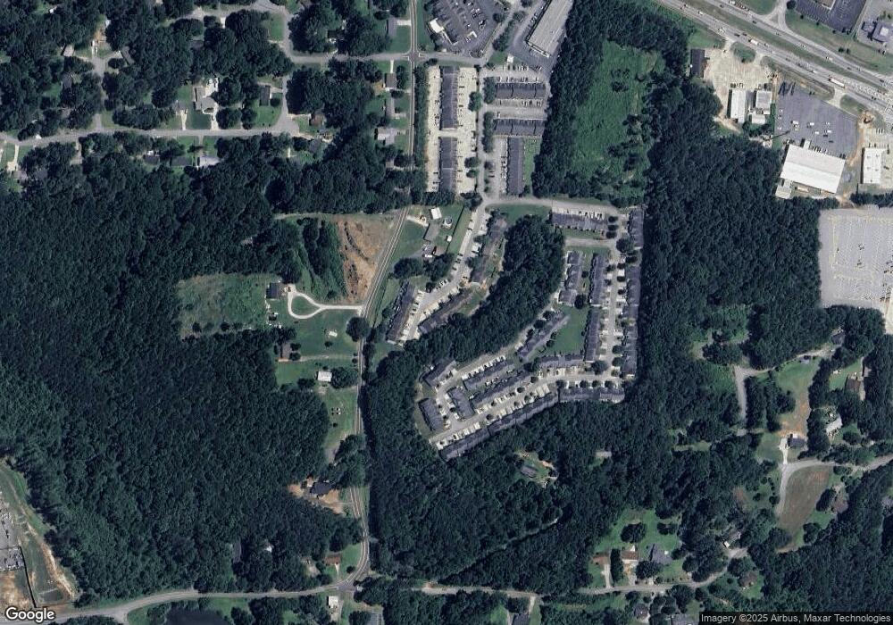
Map
- 313 Venture Path
- 137 Venture Path
- 636 Hardy Way
- 89 Hiram Park Ct
- 54 Denver Ave
- 21 Stanford Ct
- 000 Us Highway 278
- 231 Hardy Way
- 241 Hardy Way
- 329 Hiram Douglasville Hwy
- 263 Hiram Douglasville Hwy
- 227 Highland Falls Dr
- 491 Hiram Douglasville Hwy
- 585 Hiram Douglasville Hwy
- 108 Greystone Way
- 244 Rosedale Dr
- 921 Pace Rd
- 295 Hiram Acworth Hwy
- 0 Old Mill Rd Unit 10687112
- 0 Highway 278 NE Unit 10338401
- 129 Prospect Path Unit 129
- 129 Prospect Path
- 135 Prospect Path Unit 135
- 135 Prospect Path Unit 1803
- 135 Prospect Path
- 135 Prospect Path
- 127 Prospect Path
- 137 Prospect Path
- 137 Prospect Path Unit 2011
- 137 Prospect Path Unit 137
- 143 Prospect Path
- 264 Venture Path
- 260 Venture Path
- 270 Venture Path
- 258 Venture Path Unit 2009
- 272 Venture Path Unit 272
- 272 Venture Path
- 145 Prospect Path Unit 1806
- 113 Prospect Path
- 276 Venture Path Unit 2004
Ask me questions while you tour the home.