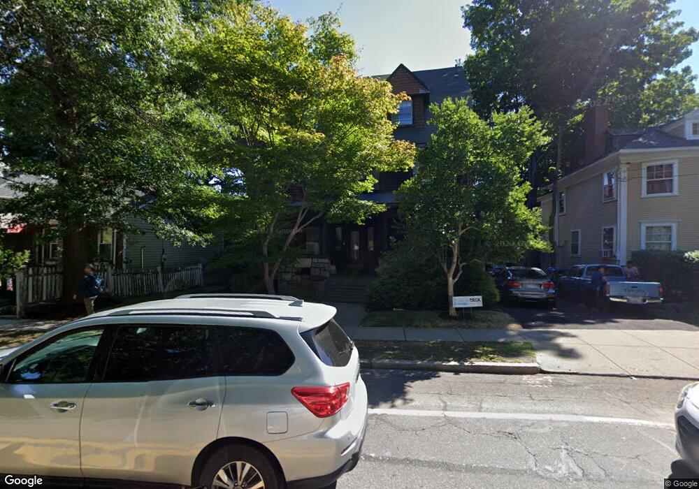
265 Saint Paul St Brookline, MA 02446
Coolidge Corner NeighborhoodEstimated Value: $2,935,816 - $5,433,000
About This Home
This home is located at 265 Saint Paul St, Brookline, MA 02446 and is currently estimated at $3,726,954, approximately $813 per square foot. 265 Saint Paul St is a home located in Norfolk County with nearby schools including Amos A. Lawrence School, Brookline High School, and Match Charter Public School.
Ownership History
We collect this data history from publicly available records. To have your information removed, we recommend requesting removal directly through your county’s website.
Purchase Details
Home Financials for this Owner
Home Financials are based on the most recent Mortgage that was taken out on this home.Purchase Details
Purchase Details
Home Values in the Area
Average Home Value in this Area
Purchase History
We collect this data history from publicly available records. To have your information removed, we recommend requesting removal directly through your county’s website.
| Date | Buyer | Sale Price | Title Company |
|---|---|---|---|
| $2,495,000 | None Available | ||
| -- | -- | ||
| $136,000 | -- |
Mortgage History
We collect this data history from publicly available records. To have your information removed, we recommend requesting removal directly through your county’s website.
| Date | Status | Borrower | Loan Amount |
|---|---|---|---|
| Open | $1,996,000 | ||
| Previous Owner | $100,000 | ||
| Previous Owner | $100,000 | ||
| Previous Owner | $200,000 | ||
| Previous Owner | $100,000 |
Tax History
We collect this data history from publicly available records. To have your information removed, we recommend requesting removal directly through your county’s website.
| Year | Tax Paid | Tax Assessment Tax Assessment Total Assessment is a certain percentage of the fair market value that is determined by local assessors to be the total taxable value of land and additions on the property. | Land | Improvement |
|---|---|---|---|---|
| 2025 | $28,559 | $2,893,500 | $1,309,600 | $1,583,900 |
| 2024 | $27,165 | $2,780,400 | $1,259,200 | $1,521,200 |
| 2023 | $22,817 | $2,288,600 | $1,159,200 | $1,129,400 |
| 2022 | $22,210 | $2,179,600 | $1,104,000 | $1,075,600 |
| 2021 | $20,539 | $2,095,800 | $1,061,500 | $1,034,300 |
| 2020 | $18,744 | $1,983,500 | $965,100 | $1,018,400 |
| 2019 | $17,700 | $1,889,000 | $919,100 | $969,900 |
| 2018 | $16,252 | $1,718,000 | $765,900 | $952,100 |
| 2017 | $16,013 | $1,620,700 | $722,500 | $898,200 |
| 2016 | $15,783 | $1,514,700 | $675,300 | $839,400 |
| 2015 | $15,119 | $1,415,600 | $631,100 | $784,500 |
| 2014 | $14,372 | $1,261,800 | $525,900 | $735,900 |
Map
- 7 Parkman St Unit 1
- 216 Saint Paul St Unit 502
- 12 Parkman St
- 134 Pleasant St Unit 1
- 77 Parkman St Unit 4
- 201 Freeman St Unit A7
- 80 Browne St Unit 2
- 1 Egmont Ave
- 99 Crowninshield Rd Unit 99
- 178 Ivy St
- 180 Ivy St
- 7 Stetson St
- 39 Worthington Rd
- 71 Green St Unit 1
- 157 Babcock St Unit 2
- 95 Babcock St
- 1253 Beacon St Unit C3
- 1265 Beacon St Unit 702
- 92 Sewall Ave Unit 2C
- 98 Carlton St
- 72 Powell St
- 78 Powell St
- 66 Powell St
- 265 Saint Paul St
- 265 Saint Paul St Unit 265
- 265 Saint Paul St Unit 1
- 265 Saint Paul St Unit U
- 255 Saint Paul St Unit 10
- 255 Saint Paul St Unit 255
- 255 Saint Paul St Unit 2
- 62 Powell St
- 62 Powell St Unit 3
- 67 Powell St
- 67 Powell St Unit 1
- 67 Powell St Unit 2
- 60 Powell St Unit 62
- 60 Powell St Unit 62
- 60 Powell St Unit 62
- 60 Powell St Unit 1
- 60 Powell St Unit 2
Ask me questions while you tour the home.