Estimated Value: $529,000 - $554,477
5
Beds
2
Baths
3,608
Sq Ft
$150/Sq Ft
Est. Value
About This Home
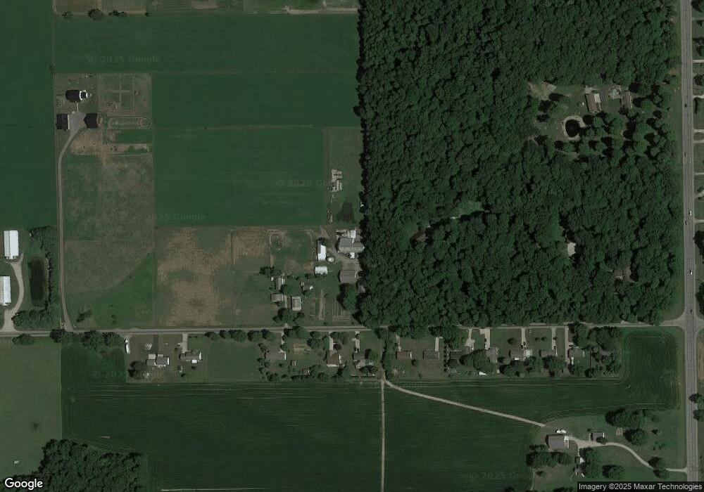
This home is located at 265 W 400 N, Howe, IN 46746 and is currently estimated at $541,739, approximately $150 per square foot. 265 W 400 N is a home located in LaGrange County with nearby schools including Lakeland Jr/Sr High School, Southeast Clay School, and Creekside Amish School.
Ownership History
Date
Name
Owned For
Owner Type
Purchase Details
Closed on
Mar 5, 2015
Sold by
Paul P Whetstone
Bought by
Cristy N Miller
Current Estimated Value
Purchase Details
Closed on
Feb 5, 2014
Sold by
Paul P Whetstone
Bought by
Whetstone Harley P and Whetstone Martha O
Create a Home Valuation Report for This Property
The Home Valuation Report is an in-depth analysis detailing your home's value as well as a comparison with similar homes in the area
Purchase History
| Date | Buyer | Sale Price | Title Company |
|---|---|---|---|
| Cristy N Miller | $85,000 | Lakeland Title Company | |
| Whetstone Harley P | $400,000 | Lakeland Title Company |
Source: Public Records
Tax History
| Year | Tax Paid | Tax Assessment Tax Assessment Total Assessment is a certain percentage of the fair market value that is determined by local assessors to be the total taxable value of land and additions on the property. | Land | Improvement |
|---|---|---|---|---|
| 2025 | $1,905 | $434,600 | $47,600 | $387,000 |
| 2024 | $1,905 | $422,500 | $48,800 | $373,700 |
| 2023 | $1,881 | $397,300 | $41,800 | $355,500 |
| 2022 | $1,823 | $344,300 | $34,300 | $310,000 |
| 2021 | $1,448 | $300,400 | $31,500 | $268,900 |
| 2020 | $1,670 | $310,900 | $30,900 | $280,000 |
| 2019 | $1,601 | $297,200 | $32,900 | $264,300 |
| 2018 | $1,589 | $275,300 | $31,300 | $244,000 |
| 2017 | $181 | $15,000 | $15,000 | $0 |
| 2016 | $173 | $15,900 | $15,900 | $0 |
| 2014 | $173 | $16,600 | $16,600 | $0 |
| 2013 | $173 | $309,200 | $120,100 | $189,100 |
Source: Public Records
Map
Nearby Homes
Your Personal Tour Guide
Ask me questions while you tour the home.