26570 Range Ln Richland, MO 65556
Estimated Value: $299,000 - $421,662
Studio
1
Bath
1,408
Sq Ft
$254/Sq Ft
Est. Value
About This Home
This home is located at 26570 Range Ln, Richland, MO 65556 and is currently estimated at $357,887, approximately $254 per square foot. 26570 Range Ln is a home with nearby schools including Laquey R-V Elementary School, Laquey R-V Middle School, and Laquey R-V High School.
Create a Home Valuation Report for This Property
The Home Valuation Report is an in-depth analysis detailing your home's value as well as a comparison with similar homes in the area
Tax History
We collect this data history from publicly available records. To have your information removed, we recommend requesting removal directly through your county’s website.
| Year | Tax Paid | Tax Assessment Tax Assessment Total Assessment is a certain percentage of the fair market value that is determined by local assessors to be the total taxable value of land and additions on the property. | Land | Improvement |
|---|---|---|---|---|
| 2025 | $1,200 | $32,719 | $2,357 | $30,362 |
| 2024 | $9 | $24,582 | $2,357 | $22,225 |
| 2023 | $912 | $24,582 | $2,357 | $22,225 |
| 2022 | $904 | $24,582 | $2,357 | $22,225 |
| 2021 | $904 | $24,582 | $2,357 | $22,225 |
| 2020 | $875 | $27,952 | $0 | $0 |
| 2019 | $875 | $23,690 | $0 | $0 |
| 2018 | $878 | $23,725 | $0 | $0 |
| 2017 | $878 | $27,988 | $0 | $0 |
| 2016 | $877 | $23,720 | $0 | $0 |
| 2015 | $876 | $23,720 | $0 | $0 |
| 2014 | $875 | $23,720 | $0 | $0 |
Source: Public Records
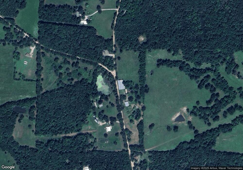
Map
Nearby Homes
- 000 Snipe Rd
- 0 Track 3d Utica Dr
- 28665 Highway Ab
- 0 Track 3a Utica Dr
- TBD Ranch Ln
- TBD Range Ln Tract 8
- TBD Range Ln Tract 7
- TBD Range Ln Tract 5
- 23400 Range Ln
- 26225 Rambling Ln
- 26266 Rambling Ln
- 26502 Sherwood Ln
- 26525 Highway Ab
- 26485 Stone Rd
- 123 Rascal Dr
- 25725 Starlite Dr
- 25634 Highway P
- 26985 Sweden
- 25840 Rim Dr
- 25475 Richard Dr
Your Personal Tour Guide
Ask me questions while you tour the home.