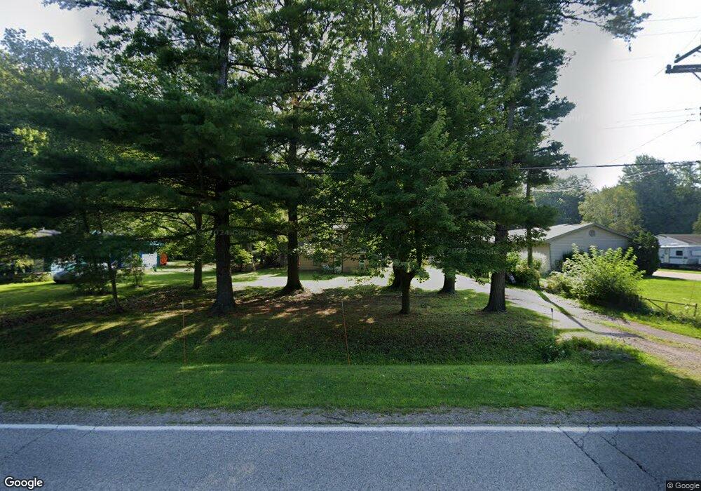
2664 Beach Rd Port Huron, MI 48060
Estimated Value: $147,000 - $171,000
About This Home
This home is located at 2664 Beach Rd, Port Huron, MI 48060 and is currently estimated at $160,607, approximately $158 per square foot. 2664 Beach Rd is a home located in St. Clair County with nearby schools including Michigamme Elementary School, Central Middle School, and Port Huron High School.
Ownership History
We collect this data history from publicly available records. To have your information removed, we recommend requesting removal directly through your county’s website.
Purchase Details
Home Financials for this Owner
Home Financials are based on the most recent Mortgage that was taken out on this home.Purchase Details
Home Financials for this Owner
Home Financials are based on the most recent Mortgage that was taken out on this home.Home Values in the Area
Average Home Value in this Area
Purchase History
We collect this data history from publicly available records. To have your information removed, we recommend requesting removal directly through your county’s website.
| Date | Buyer | Sale Price | Title Company |
|---|---|---|---|
| -- | None Listed On Document | ||
| -- | None Listed On Document | ||
| $92,900 | None Available |
Mortgage History
We collect this data history from publicly available records. To have your information removed, we recommend requesting removal directly through your county’s website.
| Date | Status | Borrower | Loan Amount |
|---|---|---|---|
| Open | $115,000 | ||
| Closed | $115,000 | ||
| Previous Owner | $74,320 |
Tax History
We collect this data history from publicly available records. To have your information removed, we recommend requesting removal directly through your county’s website.
| Year | Tax Paid | Tax Assessment Tax Assessment Total Assessment is a certain percentage of the fair market value that is determined by local assessors to be the total taxable value of land and additions on the property. | Land | Improvement |
|---|---|---|---|---|
| 2025 | $727 | $62,700 | $0 | $0 |
| 2024 | $705 | $63,700 | $0 | $0 |
| 2023 | $651 | $56,900 | $0 | $0 |
| 2022 | $2,361 | $53,500 | $0 | $0 |
| 2020 | $2,224 | $43,200 | $43,200 | $0 |
| 2019 | $2,103 | $41,300 | $0 | $0 |
| 2018 | $2,061 | $41,300 | $0 | $0 |
| 2017 | $1,994 | $38,700 | $0 | $0 |
| 2016 | $534 | $38,700 | $0 | $0 |
| 2015 | -- | $32,500 | $32,500 | $0 |
| 2014 | -- | $30,700 | $30,700 | $0 |
| 2013 | -- | $29,600 | $0 | $0 |
Map
- 2941 Beach Rd
- 2971 Beach Rd
- 3925 W Water St
- 0000 W Water St
- 3075 Westcott Dr
- 4055 Elaine Ave
- 2919 Eastland Dr
- 2189 Michigan Rd
- 2165 Michigan Rd
- 2970 Range Rd
- 0 Wall Rd Unit 50185999
- 0 Wall Rd Unit 50213922
- 3115 Spruce Dr
- 4382 Wall Rd
- 4305 Juniper Ln
- 3834 Knapp Ave
- 3183 Blackheath Ct
- 4118 Griswold Rd
- 3408 N Burwick Dr
- 3107 Aberdeen Ct
Ask me questions while you tour the home.