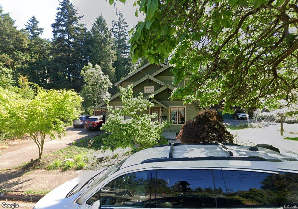
2665 Emerald St Eugene, OR 97403
Amazon NeighborhoodEstimated Value: $643,872 - $700,000
3
Beds
3
Baths
2,258
Sq Ft
$298/Sq Ft
Est. Value
About This Home
This home is located at 2665 Emerald St, Eugene, OR 97403 and is currently estimated at $673,468, approximately $298 per square foot. 2665 Emerald St is a home located in Lane County with nearby schools including Camas Ridge Community Elementary School, Roosevelt Middle School, and South Eugene High School.
Ownership History
Date
Name
Owned For
Owner Type
Purchase Details
Closed on
May 30, 2023
Sold by
Frazer Kirsten M
Bought by
Frazer Skoog Joint Revocable Trust
Current Estimated Value
Purchase Details
Closed on
Nov 20, 2020
Sold by
Frazer Kirsten M and Skoog Kristi L
Bought by
Frazer Kirsten M and Skoog Kristi L
Home Financials for this Owner
Home Financials are based on the most recent Mortgage that was taken out on this home.
Original Mortgage
$183,000
Interest Rate
2.8%
Mortgage Type
New Conventional
Purchase Details
Closed on
Mar 28, 2003
Sold by
Prichard Sue Ann
Bought by
Frazer Kirsten M and Skoog Kristi L
Purchase Details
Closed on
Mar 18, 1998
Sold by
Frazer Kirsten M and Skoog Kristi L
Bought by
Frazer Kirsten M and Skoog Kristi L
Create a Home Valuation Report for This Property
The Home Valuation Report is an in-depth analysis detailing your home's value as well as a comparison with similar homes in the area
Home Values in the Area
Average Home Value in this Area
Purchase History
| Date | Buyer | Sale Price | Title Company |
|---|---|---|---|
| Frazer Skoog Joint Revocable Trust | -- | None Listed On Document | |
| Frazer Kirsten M | -- | Evergreen Land Title | |
| Frazer Kirsten M | $10,000 | -- | |
| Frazer Kirsten M | -- | Oregon Title Insurance Co |
Source: Public Records
Mortgage History
| Date | Status | Borrower | Loan Amount |
|---|---|---|---|
| Previous Owner | Frazer Kirsten M | $183,000 |
Source: Public Records
Tax History
| Year | Tax Paid | Tax Assessment Tax Assessment Total Assessment is a certain percentage of the fair market value that is determined by local assessors to be the total taxable value of land and additions on the property. | Land | Improvement |
|---|---|---|---|---|
| 2025 | $6,194 | $317,887 | -- | -- |
| 2024 | $6,117 | $308,629 | -- | -- |
| 2023 | $6,117 | $299,640 | $0 | $0 |
| 2022 | $5,730 | $290,913 | $0 | $0 |
| 2021 | $5,382 | $282,440 | $0 | $0 |
| 2020 | $5,401 | $274,214 | $0 | $0 |
| 2019 | $5,216 | $266,228 | $0 | $0 |
| 2018 | $4,910 | $250,946 | $0 | $0 |
| 2017 | $4,690 | $250,946 | $0 | $0 |
| 2016 | $4,483 | $243,637 | $0 | $0 |
| 2015 | $4,296 | $236,541 | $0 | $0 |
| 2014 | $4,244 | $229,651 | $0 | $0 |
Source: Public Records
Map
Nearby Homes
- 0 Agate St
- 2630 Onyx St
- 1350 E 25th Ave
- 1820 E 28th Ave
- 2580 Chula Vista Blvd
- 2642 Central Blvd
- 2683 Alder St
- 2571 Alder St
- 940 E 23rd Ave
- 2630 Cresta de Ruta St
- 0 Capital Dr
- 2825 2819 Capital Dr Unit 18, 19
- 2694 Cupola Dr Unit 21
- 2815 Hilyard St
- 2662 Cupola Dr Unit 31
- 2969 Capital Dr
- 2985 Capital Dr Unit 3
- 2993 Capital Dr Unit 1
- 2620 Cupola Dr Unit 27
- 2082 Golfview Ct
- 2655 Emerald St
- 2671 Emerald St
- 2645 Emerald St
- 2640 Emerald St
- 2650 Emerald St
- 2660 Emerald St
- 2675 Emerald St
- 2630 Emerald St
- 2665 Onyx St
- 2675 Onyx St
- 2620 Emerald St
- 2670 Emerald St
- 2760 Agate St
- 1460 E 27th Ave
- 2677 Onyx St
- 1430 E 27th Ave
- 2610 Emerald St
- 2625 Emerald St
- 2635 Onyx St
- 2676 Emerald St
Your Personal Tour Guide
Ask me questions while you tour the home.