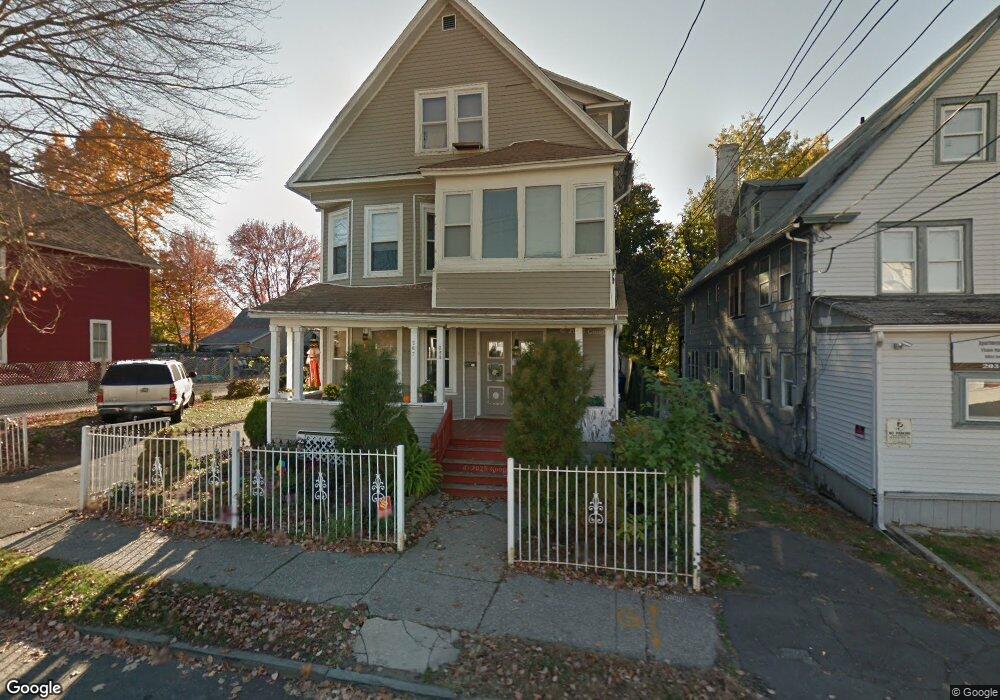
267 Scofield Ave Bridgeport, CT 06605
Black Rock NeighborhoodEstimated Value: $561,616 - $778,000
2
Beds
1
Bath
1,100
Sq Ft
$591/Sq Ft
Est. Value
About This Home
This home is located at 267 Scofield Ave, Bridgeport, CT 06605 and is currently estimated at $649,654, approximately $590 per square foot. 267 Scofield Ave is a home located in Fairfield County with nearby schools including Black Rock School, Bassick High School, and Park City Prep Charter School.
Ownership History
Date
Name
Owned For
Owner Type
Purchase Details
Closed on
Feb 7, 2005
Sold by
Nancoo Christopher and Nancoo Gwyenneth
Bought by
Milcos Gregory and Collis Steven
Current Estimated Value
Home Financials for this Owner
Home Financials are based on the most recent Mortgage that was taken out on this home.
Original Mortgage
$277,500
Outstanding Balance
$141,234
Interest Rate
5.77%
Estimated Equity
$508,420
Create a Home Valuation Report for This Property
The Home Valuation Report is an in-depth analysis detailing your home's value as well as a comparison with similar homes in the area
Home Values in the Area
Average Home Value in this Area
Purchase History
We collect this data history from publicly available records. To have your information removed, we recommend requesting removal directly through your county’s website.
| Date | Buyer | Sale Price | Title Company |
|---|---|---|---|
| Milcos Gregory | $370,000 | -- | |
| Milcos Gregory | $370,000 | -- |
Source: Public Records
Mortgage History
We collect this data history from publicly available records. To have your information removed, we recommend requesting removal directly through your county’s website.
| Date | Status | Borrower | Loan Amount |
|---|---|---|---|
| Open | Milcos Gregory | $277,500 | |
| Closed | Milcos Gregory | $277,500 |
Source: Public Records
Tax History
| Year | Tax Paid | Tax Assessment Tax Assessment Total Assessment is a certain percentage of the fair market value that is determined by local assessors to be the total taxable value of land and additions on the property. | Land | Improvement |
|---|---|---|---|---|
| 2025 | $11,397 | $262,310 | $113,320 | $148,990 |
| 2024 | $11,397 | $262,310 | $113,320 | $148,990 |
| 2023 | $11,397 | $262,310 | $113,320 | $148,990 |
| 2022 | $11,397 | $262,310 | $113,320 | $148,990 |
| 2021 | $11,397 | $262,310 | $113,320 | $148,990 |
| 2020 | $10,810 | $200,230 | $73,560 | $126,670 |
| 2019 | $10,810 | $200,230 | $73,560 | $126,670 |
| 2018 | $10,887 | $200,230 | $73,560 | $126,670 |
| 2017 | $10,887 | $200,230 | $73,560 | $126,670 |
| 2016 | $10,887 | $200,230 | $73,560 | $126,670 |
| 2015 | $9,790 | $232,000 | $61,820 | $170,180 |
| 2014 | $9,790 | $232,000 | $61,820 | $170,180 |
Source: Public Records
Map
Nearby Homes
- 22-26 Waldorf Ave
- 148 Alfred St
- 219 Orland St Unit 221
- 855 Brewster St Unit 857
- 78 Haddon St Unit 1
- 27 Nash Ln Unit 5
- 165 Bennett St
- 118 Berwick Ave
- 37 Bartram Ave
- 8-10 Jetland Place
- 37 Biro St
- 50 Stone Ridge Way Unit 2A
- 3250 Fairfield Ave Unit 206
- 65 Benton St
- 80 Bywater Ln
- 97 Fayerweather Terrace
- 18 Dawn St
- 175 School St
- 350 Grovers Ave Unit 10A
- 245 Sunnyridge Ave Unit 1
- 206 Scofield Ave
- 208 Scofield Ave
- 84 Crowther Ave Unit 88
- 84 Crowther Ave Unit 2
- 92 Crowther Ave
- 92 Crowther Ave Unit 1
- 176 Canfield Ave
- 196 Canfield Ave
- 214 Canfield Ave
- 76 Crowther Ave Unit 78
- 76 Crowther Ave Unit Stunning Renovated S
- 193 Canfield Ave Unit 2nd fl
- 188 Scofield Ave
- 205 Scofield Ave
- 213 Scofield Ave
- 97 Crowther Ave
- 216 Scofield Ave
- 209 Scofield Ave
- 77 Crowther Ave
- 87 Crowther Ave
Your Personal Tour Guide
Ask me questions while you tour the home.