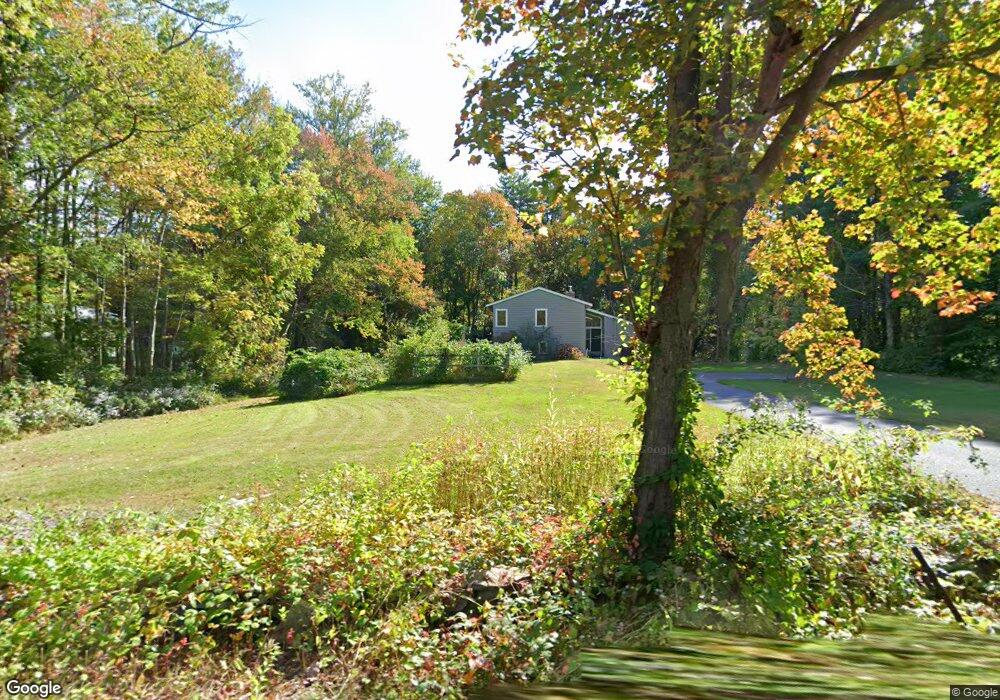
267 Stow Rd Harvard, MA 01451
Estimated Value: $482,000 - $724,000
1
Bed
3
Baths
1,004
Sq Ft
$629/Sq Ft
Est. Value
About This Home
This home is located at 267 Stow Rd, Harvard, MA 01451 and is currently estimated at $631,404, approximately $628 per square foot. 267 Stow Rd is a home located in Worcester County with nearby schools including Hildreth Elementary School and The Bromfield School.
Ownership History
Date
Name
Owned For
Owner Type
Purchase Details
Closed on
Mar 2, 1998
Sold by
Nist Kenneth L and Nist Pauline A
Bought by
Carrona Robert C and Carrona Sally K
Current Estimated Value
Home Financials for this Owner
Home Financials are based on the most recent Mortgage that was taken out on this home.
Original Mortgage
$140,000
Interest Rate
6.85%
Mortgage Type
Purchase Money Mortgage
Create a Home Valuation Report for This Property
The Home Valuation Report is an in-depth analysis detailing your home's value as well as a comparison with similar homes in the area
Home Values in the Area
Average Home Value in this Area
Purchase History
We collect this data history from publicly available records. To have your information removed, we recommend requesting removal directly through your county’s website.
| Date | Buyer | Sale Price | Title Company |
|---|---|---|---|
| Carrona Robert C | $192,500 | -- |
Source: Public Records
Mortgage History
We collect this data history from publicly available records. To have your information removed, we recommend requesting removal directly through your county’s website.
| Date | Status | Borrower | Loan Amount |
|---|---|---|---|
| Open | Carrona Robert C | $25,000 | |
| Open | Carrona Robert C | $145,000 | |
| Closed | Carrona Robert C | $138,500 | |
| Closed | Carrona Robert C | $140,000 |
Source: Public Records
Tax History
| Year | Tax Paid | Tax Assessment Tax Assessment Total Assessment is a certain percentage of the fair market value that is determined by local assessors to be the total taxable value of land and additions on the property. | Land | Improvement |
|---|---|---|---|---|
| 2025 | $6,794 | $434,100 | $231,600 | $202,500 |
| 2024 | $6,663 | $447,200 | $231,600 | $215,600 |
| 2023 | $6,694 | $403,000 | $222,100 | $180,900 |
| 2022 | $7,067 | $394,600 | $238,800 | $155,800 |
| 2021 | $7,317 | $389,600 | $238,800 | $150,800 |
| 2020 | $16,713 | $368,600 | $238,800 | $129,800 |
| 2019 | $6,313 | $362,400 | $238,800 | $123,600 |
| 2018 | $6,215 | $362,400 | $238,800 | $123,600 |
| 2017 | $5,591 | $308,900 | $198,800 | $110,100 |
| 2016 | $5,473 | $303,200 | $198,800 | $104,400 |
| 2015 | $5,520 | $310,300 | $194,800 | $115,500 |
| 2014 | $5,303 | $310,300 | $194,800 | $115,500 |
Source: Public Records
Map
Nearby Homes
- 3 Pine Hill Way
- 18 B Pine Hill Way Unit BB
- 20 Hynes Ln
- 493 Taylor Rd
- 555 Old Harvard Rd
- 592 Sugar Rd
- 99 Corn Rd
- 308 Harvard Rd
- 90 Corn Rd
- 26 Corn Rd
- 184 Old Bolton Rd
- 88 Drumlin Hill Rd
- 1125 Burroughs Rd
- 106 Bolton Rd
- 57 Houghton Farm Ln
- 61 Ridgewood Dr
- 61 Ridgewood Dr Unit 61
- 40 Ridgewood Dr Unit 40
- 120 Maple St
- 208 Swanson Rd Unit 526
Your Personal Tour Guide
Ask me questions while you tour the home.