2676 Durango Dr Homedale, ID 83628
Estimated Value: $658,000 - $848,000
3
Beds
2
Baths
2,169
Sq Ft
$335/Sq Ft
Est. Value
About This Home
This home is located at 2676 Durango Dr, Homedale, ID 83628 and is currently estimated at $725,614, approximately $334 per square foot. 2676 Durango Dr is a home located in Owyhee County with nearby schools including Homedale Elementary School, Homedale Middle School, and Homedale High School.
Ownership History
Date
Name
Owned For
Owner Type
Purchase Details
Closed on
Mar 24, 2017
Sold by
Larzelier Mary J
Bought by
Larzelier Mary J
Current Estimated Value
Home Financials for this Owner
Home Financials are based on the most recent Mortgage that was taken out on this home.
Original Mortgage
$177,000
Interest Rate
4.15%
Mortgage Type
New Conventional
Purchase Details
Closed on
Nov 25, 2009
Sold by
Larzelier Mary J
Bought by
Larzelier Mary J
Home Financials for this Owner
Home Financials are based on the most recent Mortgage that was taken out on this home.
Original Mortgage
$182,000
Interest Rate
5.01%
Mortgage Type
New Conventional
Create a Home Valuation Report for This Property
The Home Valuation Report is an in-depth analysis detailing your home's value as well as a comparison with similar homes in the area
Purchase History
| Date | Buyer | Sale Price | Title Company |
|---|---|---|---|
| Larzelier Mary J | -- | None Available | |
| Larzelier Mary J | -- | -- |
Source: Public Records
Mortgage History
| Date | Status | Borrower | Loan Amount |
|---|---|---|---|
| Closed | Larzelier Mary J | $177,000 | |
| Closed | Larzelier Mary J | $182,000 |
Source: Public Records
Tax History
| Year | Tax Paid | Tax Assessment Tax Assessment Total Assessment is a certain percentage of the fair market value that is determined by local assessors to be the total taxable value of land and additions on the property. | Land | Improvement |
|---|---|---|---|---|
| 2025 | -- | $556,309 | $73,469 | $482,840 |
| 2024 | -- | $549,818 | $66,978 | $482,840 |
| 2023 | -- | $560,148 | $66,978 | $493,170 |
| 2022 | $2,895 | $554,898 | $66,978 | $487,920 |
| 2021 | $1,881 | $356,745 | $50,555 | $306,190 |
| 2020 | $1,460 | $281,470 | $26,140 | $255,330 |
| 2019 | $1,414 | $246,813 | $26,241 | $220,572 |
| 2018 | $1,310 | $228,702 | $22,722 | $205,980 |
| 2017 | $1,280 | $228,644 | $22,664 | $205,980 |
| 2016 | $1,307 | $225,734 | $22,658 | $203,076 |
| 2014 | $1,112 | $159,032 | $20,855 | $138,177 |
| 2011 | -- | $187,124 | $19,044 | $168,080 |
Source: Public Records
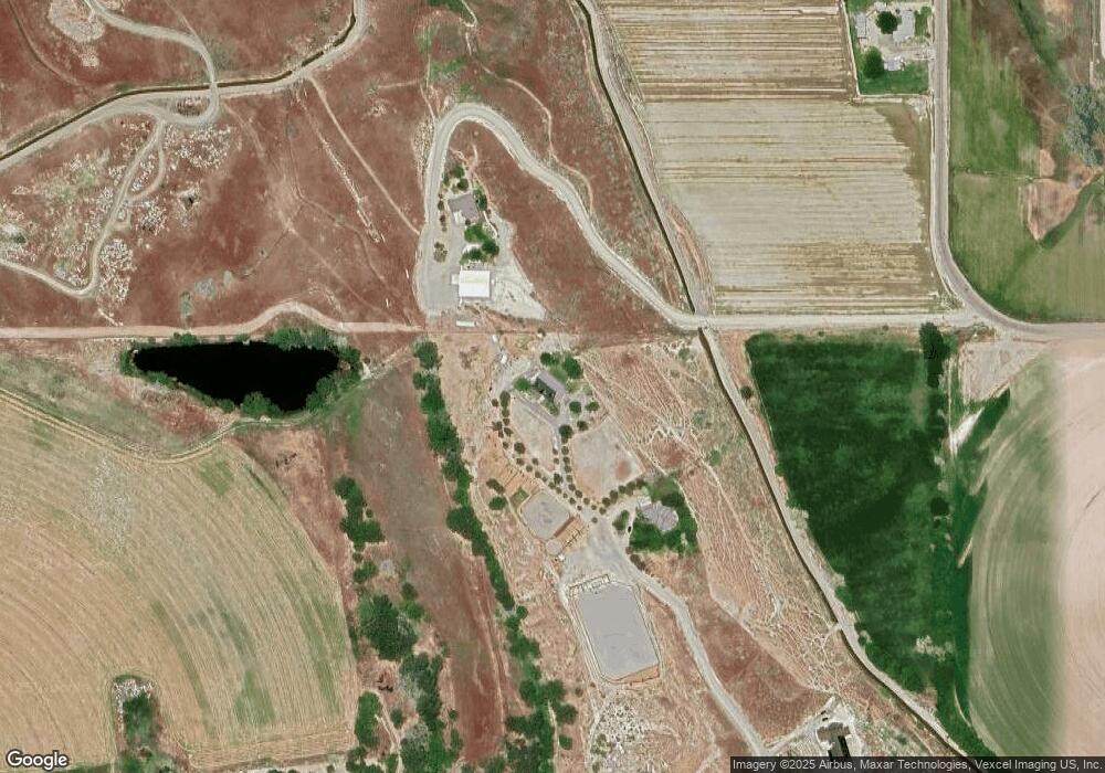
Map
Nearby Homes
- 2675 Kings Way Dr
- 28024 Rivers Edge St
- 503 W California Ave
- 2380 Lower Pond Ln
- 328 Packer Ln
- 2427 N Side Rd
- 2417 Patch Ditch Rd
- 615 W Idaho Ave
- 219 N 4th St W
- 510 Baggins Ln
- Tbd Baggins (Lot5)
- Tbd Baggins (Lot4)
- 215 W Arizona Ave
- TBD Ustick Rd Parcel 3
- 328 W Owyhee Ave
- 310 W Owyhee Ave
- 226 W Owyhee Ave
- 102 Thunder Mountain Ct
- 00 Heltons Island
- 27607 Petolla Rd
- 2722 Durango Dr
- 3877 River Rd
- 2824 Durango Dr
- 3811 River Rd
- 3781 River Rd
- 3781 River Rd
- 3709 River Rd
- 3964 River Rd
- 2800 Murrays Ln
- 2560 Kings Way Dr
- 3754 River Rd
- 3686 River Rd
- 2898 Murrays Ln
- 2675 Kingsway Dr
- 2428 State Highway 19
- 2480 State Highway 19
- 2691 Kingsway Dr
- 2887 Murrays Ln
- 2897 Murrays Ln
- 3682 River Rd
Your Personal Tour Guide
Ask me questions while you tour the home.