268 Cloudland Dr Ellijay, GA 30536
Estimated Value: $696,406 - $956,000
5
Beds
4
Baths
3,494
Sq Ft
$242/Sq Ft
Est. Value
About This Home
This home is located at 268 Cloudland Dr, Ellijay, GA 30536 and is currently estimated at $843,802, approximately $241 per square foot. 268 Cloudland Dr is a home located in Gilmer County with nearby schools including Ellijay Elementary School, Clear Creek Elementary School, and Gilmer Middle School.
Ownership History
Date
Name
Owned For
Owner Type
Purchase Details
Closed on
Jan 29, 2010
Sold by
Tomicki David
Bought by
Hunt Frank R and Hunt Elizabeth A
Current Estimated Value
Home Financials for this Owner
Home Financials are based on the most recent Mortgage that was taken out on this home.
Original Mortgage
$271,500
Outstanding Balance
$178,723
Interest Rate
5.16%
Mortgage Type
New Conventional
Estimated Equity
$665,079
Purchase Details
Closed on
Oct 13, 2004
Sold by
Lancaster Janet B and Lancaster Harry N
Bought by
Rich Steven and Tomicki David
Purchase Details
Closed on
Sep 30, 2002
Sold by
The Highlands At Clear Creek Llc
Bought by
Lancaster Janet B and Lancaster Harry N
Create a Home Valuation Report for This Property
The Home Valuation Report is an in-depth analysis detailing your home's value as well as a comparison with similar homes in the area
Home Values in the Area
Average Home Value in this Area
Purchase History
| Date | Buyer | Sale Price | Title Company |
|---|---|---|---|
| Hunt Frank R | $370,000 | -- | |
| Rich Steven | $80,000 | -- | |
| Lancaster Janet B | $67,400 | -- |
Source: Public Records
Mortgage History
| Date | Status | Borrower | Loan Amount |
|---|---|---|---|
| Open | Hunt Frank R | $271,500 |
Source: Public Records
Tax History
| Year | Tax Paid | Tax Assessment Tax Assessment Total Assessment is a certain percentage of the fair market value that is determined by local assessors to be the total taxable value of land and additions on the property. | Land | Improvement |
|---|---|---|---|---|
| 2025 | $898 | $264,092 | $15,600 | $248,492 |
| 2024 | $863 | $261,312 | $14,520 | $246,792 |
| 2023 | $887 | $260,112 | $13,320 | $246,792 |
| 2022 | $917 | $219,952 | $9,600 | $210,352 |
| 2021 | $1,018 | $176,452 | $9,600 | $166,852 |
| 2020 | $1,133 | $159,308 | $8,400 | $150,908 |
| 2019 | $1,184 | $161,040 | $10,200 | $150,840 |
| 2016 | $3,255 | $131,560 | $15,480 | $116,080 |
Source: Public Records
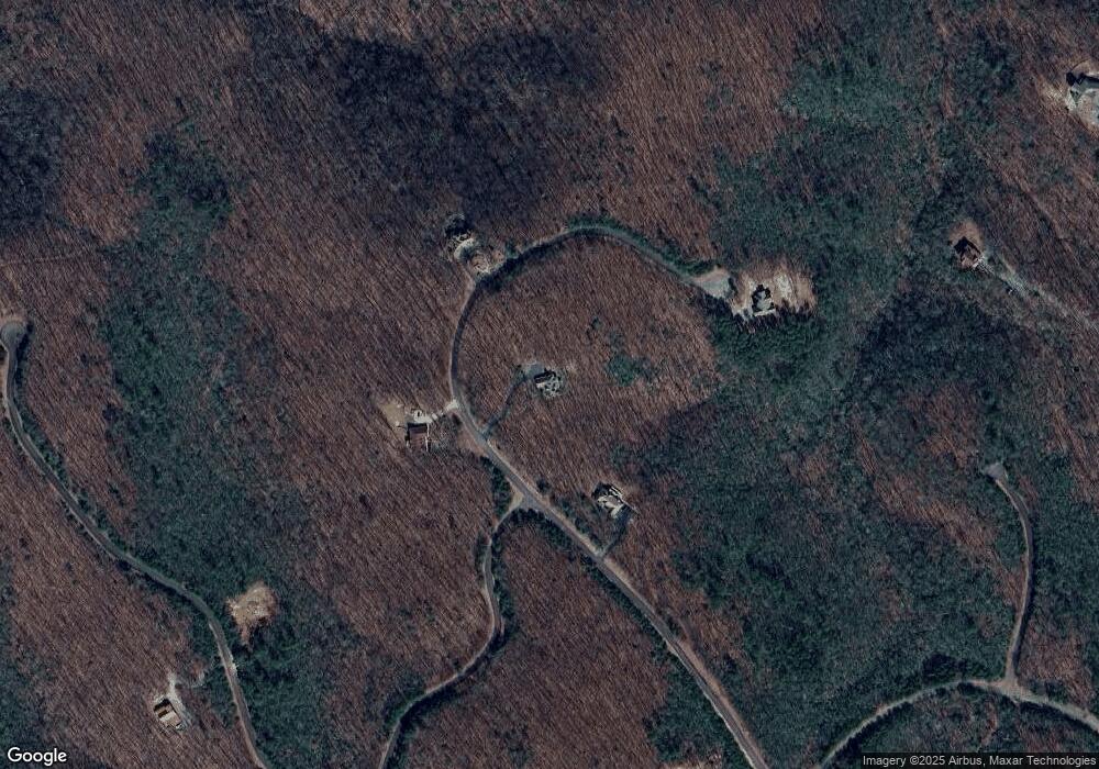
Map
Nearby Homes
- 122 Cloudland Dr
- LOT 82 Baltusrol Run
- 0 Northland Trail Unit 10472985
- 123 Edinborough Ct
- 0 Edinborough Ct Unit 7605469
- 189 Saint Andrews Way
- 59 St Andrews Way
- 220 St Andrews Way
- 70 St Andrews Way
- 503 Saint Andrews Way
- 63 Saint Andrews Way
- 137 Saint Andrews Way
- 64 Saint Andrews Way
- 66 Saint Andrews Way
- 65 Saint Andrews Way
- 57 Saint Andrews Way
- 281 Cloudland Dr
- 0 Cloudland Dr Unit 8446872
- 0 Cloudland Dr Unit 6067232
- 0 Cloudland Dr Unit 78 8322417
- 0 Cloudland Dr Unit 107 3220979
- 0 Cloudland Dr Unit 9045252
- 0 Cloudland Dr Unit 6939624
- 0 Cloudland Dr Unit Lot 10 8787410
- 172 Cloudland Dr
- 107 Cloudland Dr
- 113 Cloudland Dr
- 107 Cloudland Dr Unit Lot 107
- 113/14 Cloudland Dr
- 114 Cloudland Dr
- 106 Cloudland Dr
- LT106 Cloudland Dr
- 112 Cloudland Dr
- 110 Cloudland Dr
- 113/114 Cloudland Dr
- 113/114 Cloudland Dr Unit 113/114
Your Personal Tour Guide
Ask me questions while you tour the home.