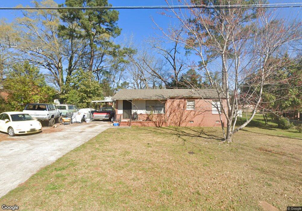
2682 Pauladale Dr Macon, GA 31211
Estimated Value: $71,504 - $109,000
3
Beds
1
Bath
1,040
Sq Ft
$90/Sq Ft
Est. Value
About This Home
This home is located at 2682 Pauladale Dr, Macon, GA 31211 and is currently estimated at $93,376, approximately $89 per square foot. 2682 Pauladale Dr is a home located in Bibb County with nearby schools including Martin Luther King Jr. Elementary School, Appling Middle School, and Northeast High School.
Ownership History
Date
Name
Owned For
Owner Type
Purchase Details
Closed on
Feb 2, 2011
Sold by
Lowe Moon Forest Products Inc
Bought by
Lamar Ricardo
Current Estimated Value
Home Financials for this Owner
Home Financials are based on the most recent Mortgage that was taken out on this home.
Original Mortgage
$60,000
Interest Rate
4.76%
Mortgage Type
New Conventional
Purchase Details
Closed on
Jan 7, 2009
Sold by
Lester Joseph
Bought by
Lowe Moon Forest Products Inc
Purchase Details
Closed on
Mar 13, 2006
Bought by
Lester Joseph
Purchase Details
Closed on
Dec 29, 1997
Create a Home Valuation Report for This Property
The Home Valuation Report is an in-depth analysis detailing your home's value as well as a comparison with similar homes in the area
Purchase History
| Date | Buyer | Sale Price | Title Company |
|---|---|---|---|
| Lamar Ricardo | $60,000 | None Available | |
| Lowe Moon Forest Products Inc | $67,700 | None Available | |
| Lester Joseph | $8,100 | -- | |
| -- | $45,000 | -- |
Source: Public Records
Mortgage History
| Date | Status | Borrower | Loan Amount |
|---|---|---|---|
| Closed | Lamar Ricardo | $60,000 |
Source: Public Records
Tax History
| Year | Tax Paid | Tax Assessment Tax Assessment Total Assessment is a certain percentage of the fair market value that is determined by local assessors to be the total taxable value of land and additions on the property. | Land | Improvement |
|---|---|---|---|---|
| 2025 | $579 | $30,542 | $3,360 | $27,182 |
| 2024 | $509 | $27,044 | $2,100 | $24,944 |
| 2023 | $503 | $23,965 | $1,260 | $22,705 |
| 2022 | $341 | $16,857 | $2,624 | $14,233 |
| 2021 | $216 | $12,685 | $1,674 | $11,011 |
| 2020 | $172 | $11,434 | $1,674 | $9,760 |
| 2019 | $448 | $11,434 | $1,674 | $9,760 |
| 2018 | $866 | $11,434 | $1,674 | $9,760 |
| 2017 | $428 | $11,434 | $1,674 | $9,760 |
| 2016 | $396 | $11,434 | $1,674 | $9,760 |
| 2015 | $560 | $11,434 | $1,674 | $9,760 |
| 2014 | $868 | $15,416 | $2,434 | $12,982 |
Source: Public Records
Map
Nearby Homes
- 2675 Pauladale Dr
- 2630 Pauladale Dr
- 2585 New Clinton Rd
- 2721 Kensington Place
- 2815 Horseshoe Dr
- 2458 Tredway Dr
- 2557 Hyde Park Rd
- 2418 Tredway Dr
- 2371 Kensington Rd
- 155 Alton Rd
- 2334 Donald Ave
- 131 Sun Valley Dr
- 2265 Companion Dr
- 2256 Melton Ave
- 2229 New Clinton Rd
- 1977 Thomas Dr
- 1942 Dirk Dr
- 1038 Sun Valley Ct Unit C57
- 1038 Sun Valley Ct
- 2740 Millerfield Rd
- 2674 Pauladale Dr
- 2692 Pauladale Dr
- 2687 Tredway Dr
- 2679 Tredway Dr
- 2695 Tredway Dr
- 2683 Pauladale Dr
- 2666 Pauladale Dr
- 2691 Pauladale Dr
- 2671 Tredway Dr
- 2667 Pauladale Dr
- 2663 Tredway Dr
- 2658 Pauladale Dr
- 2646 New Clinton Rd
- 2661 New Clinton Rd
- 2661 New Clinton Rd Unit B17
- 2679 New Clinton Rd
- 2685 New Clinton Rd
- 2655 Tredway Dr
- 2690 Tredway Dr
- 2682 Tredway Dr
Your Personal Tour Guide
Ask me questions while you tour the home.